
MyTopo
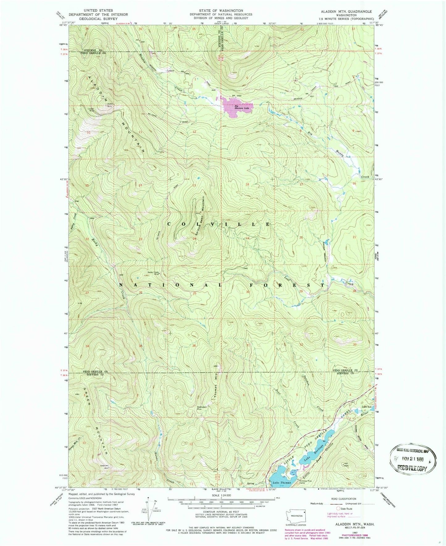
Classic USGS Aladdin Mountain Washington 7.5'x7.5' Topo Map
Couldn't load pickup availability
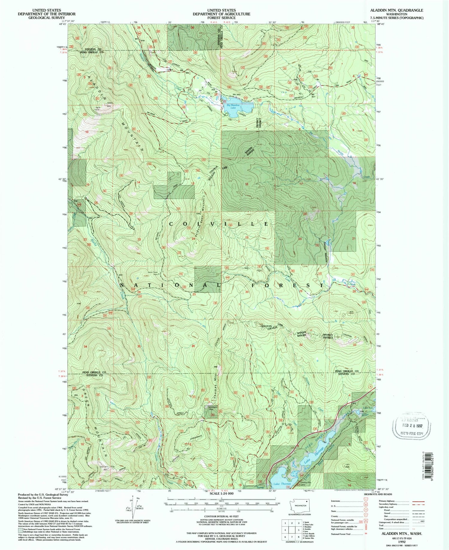
Historical USGS topographic quad map of Aladdin Mountain in the state of Washington. Typical map scale is 1:24,000, but may vary for certain years, if available. Print size: 24" x 27"
This quadrangle is in the following counties: Pend Oreille, Stevens.
The map contains contour lines, roads, rivers, towns, and lakes. Printed on high-quality waterproof paper with UV fade-resistant inks, and shipped rolled.
Contains the following named places: Lasota Mine, Aladdin Mountain, Deer Creek, Green Mountain, Lake Heritage, Hills Meadow, Little Pend Oreille Lakes, Middleport Mine, Patchen Creek, Polley Creek, Princess Pine Camp, Rocky Creek Mine, Seldom Seen Mountain, Stewart Meadow, Thomas Mountain, Heather Lake Dam, Big Meadow Lake, Big Meadow Lake Campground