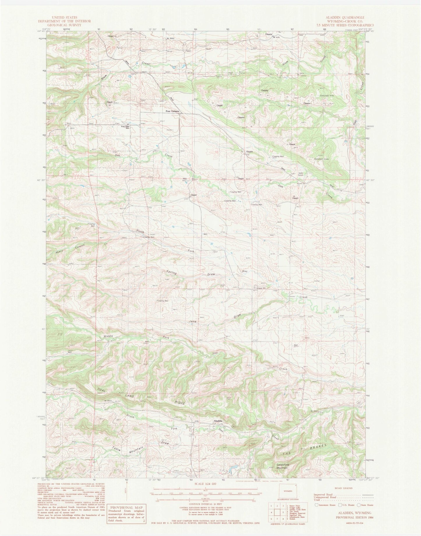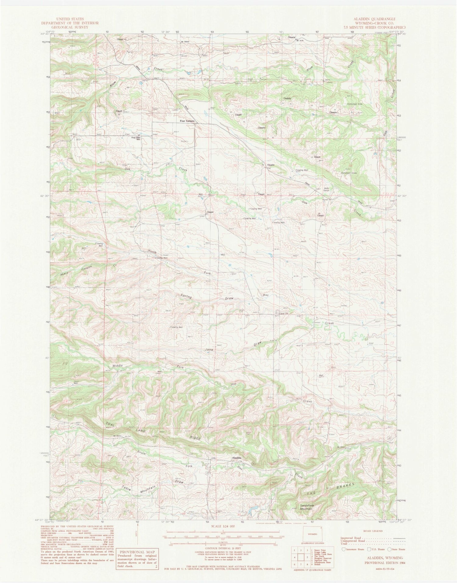
MyTopo
Classic USGS Aladdin Wyoming 7.5'x7.5' Topo Map
Couldn't load pickup availability
Historical USGS topographic quad map of Aladdin in the state of Wyoming. Map scale may vary for some years, but is generally around 1:24,000. Print size is approximately 24" x 27"
This quadrangle is in the following counties: Crook.
The map contains contour lines, roads, rivers, towns, and lakes. Printed on high-quality waterproof paper with UV fade-resistant inks, and shipped rolled.
Contains the following named places: A H Claim Mine, Akers Canyon Creek, Aladdin, Aladdin Post Office, Alum Creek, Coal Land Ridge, Elk Creek, Four Corners, Four Oaks School, Hall Ranch, Homestake Property Mine, Jane Draw, Oak Creek Two Mine, Richards and Myers Property Mine, Rocky Draw Creek, Spring Draw, Stillwell Mine, Table Mountain Draw, ZIP Code: 82710