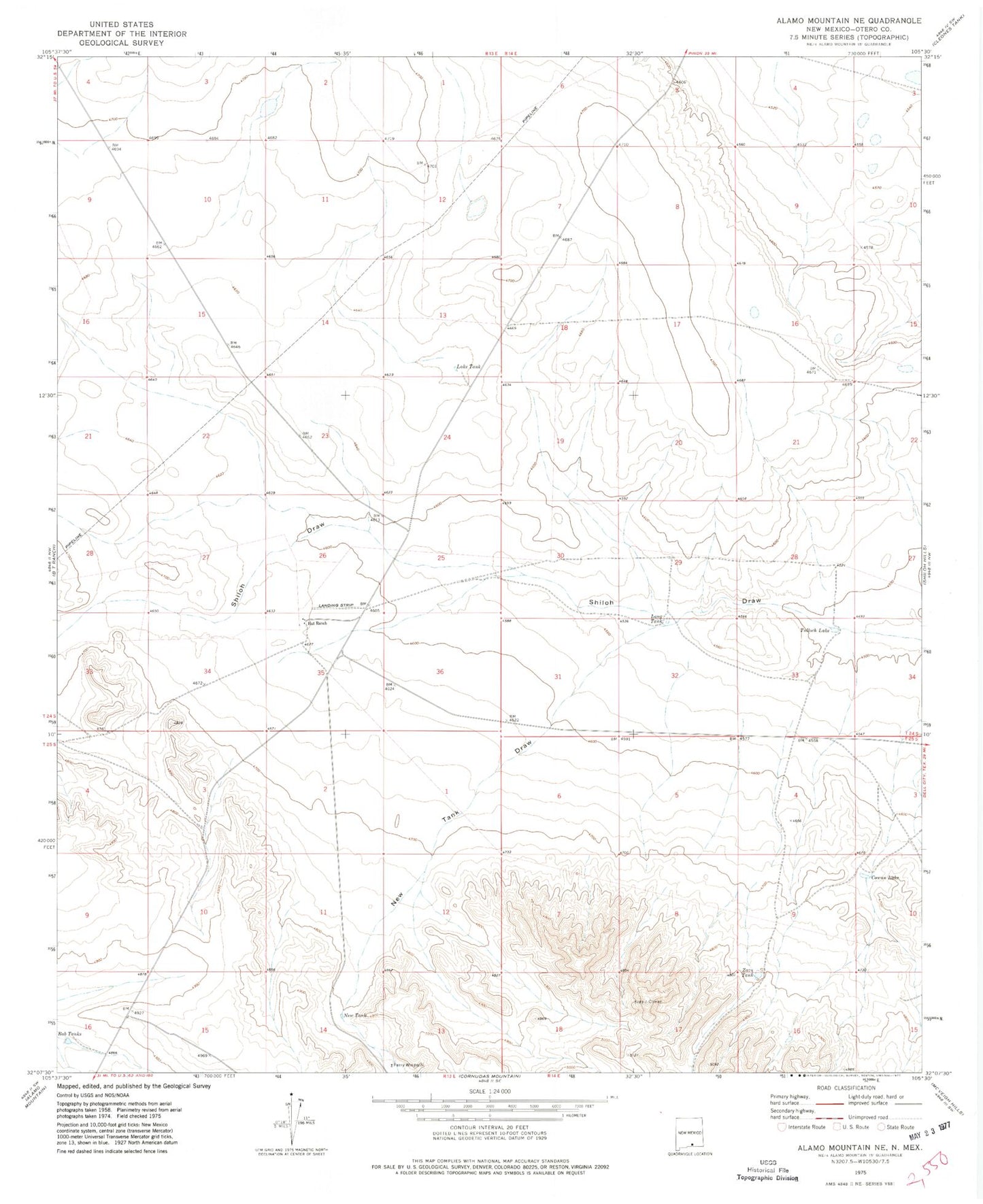
MyTopo
Classic USGS Alamo Mountain NE New Mexico 7.5'x7.5' Topo Map
Regular price
$16.95
Regular price
Sale price
$16.95
Unit price
per
Couldn't load pickup availability
Historical USGS topographic quad map of Alamo Mountain NE in the state of New Mexico. Map scale may vary for some years, but is generally around 1:24,000. Print size is approximately 24" x 27"
This quadrangle is in the following counties: Otero.
The map contains contour lines, roads, rivers, towns, and lakes. Printed on high-quality waterproof paper with UV fade-resistant inks, and shipped rolled.
Contains the following named places: Cowan Lake, Hat Ranch, Lake Tank, Long Tank, New Tank, New Tank Draw, Perry Windmill, Rob Tanks, Tulloch Lake, Zazu Tank