MyTopo
Classic USGS Alamo Georgia 7.5'x7.5' Topo Map
Couldn't load pickup availability
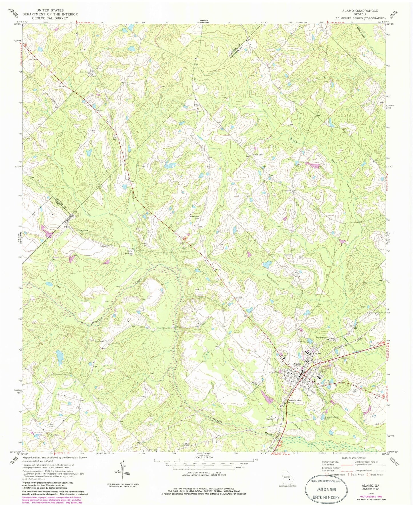
Historical USGS topographic quad map of Alamo in the state of Georgia. Map scale may vary for some years, but is generally around 1:24,000. Print size is approximately 24" x 27"
This quadrangle is in the following counties: Dodge, Laurens, Wheeler.
The map contains contour lines, roads, rivers, towns, and lakes. Printed on high-quality waterproof paper with UV fade-resistant inks, and shipped rolled.
Contains the following named places: Alamo, Alamo Cemetery, Alamo Church, Alamo Police Department, Alamo Post Office, Alamo Volunteer Fire Department, Buck Creek, Clark Cemetery, Coleman Lake, Coleman Lake Dam, Erick Cemetery, Friendship Church, Grimes Cemetery, Jordan Lake, Jordan Lake Dam, Little Rock Church, Macedonia Church, McRae Cemetery, Morris Lake, Morris Lake Dam, Mount Carmel Church, Oak Grove Cemetery, O'Quinns Pond, O'Quinns Pond Dam, Smith Cemetery, Snowhill Church, Sprauling Grove Church, Stuart Cemetery, Town of Alamo, Union Springs Church, Wheeler Correctional Facility, Wheeler County Courthouse, Wheeler County High School, Wheeler County Jail, Wheeler County Primary School, Wheeler County Sheriff's Office, ZIP Code: 30411