MyTopo
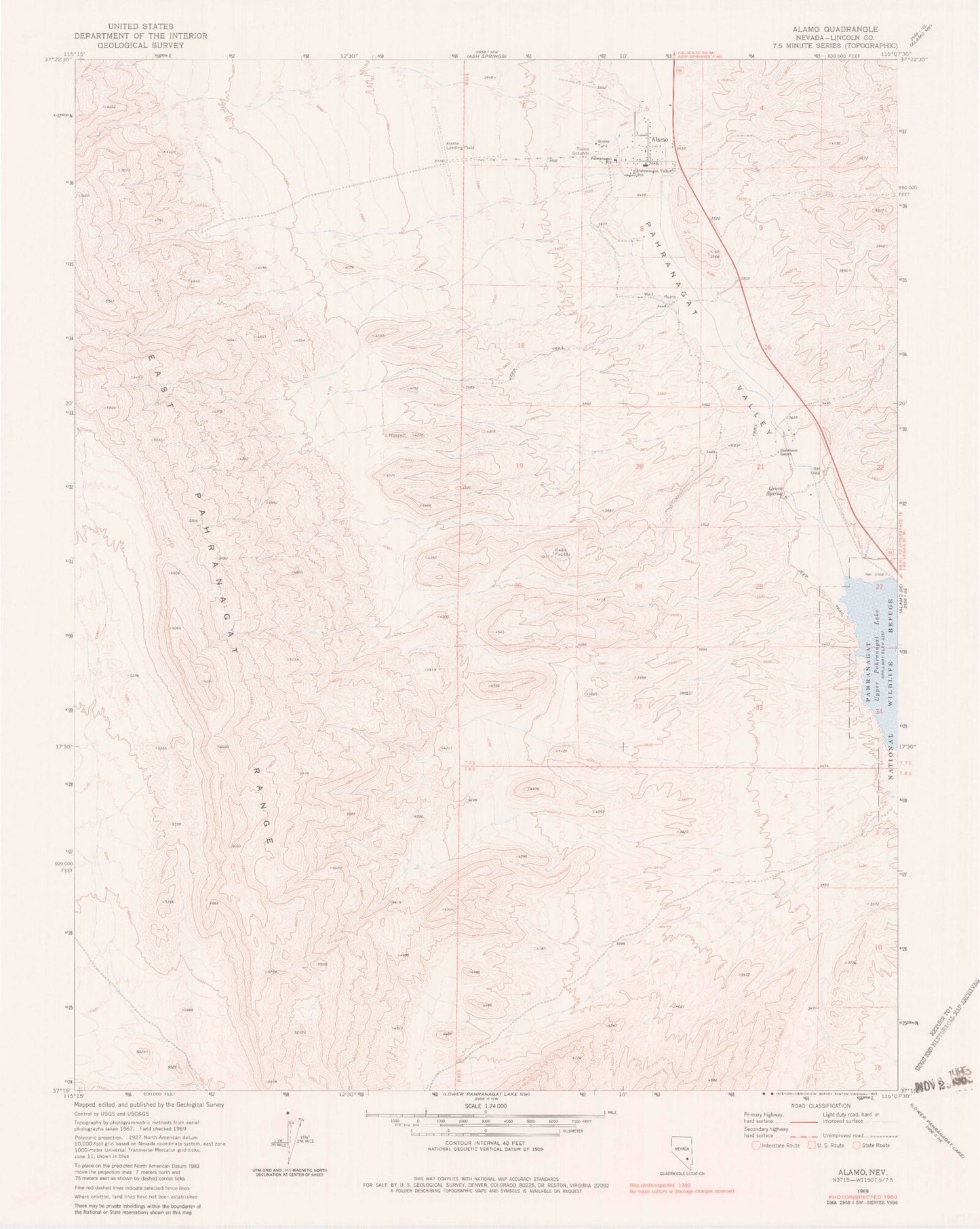
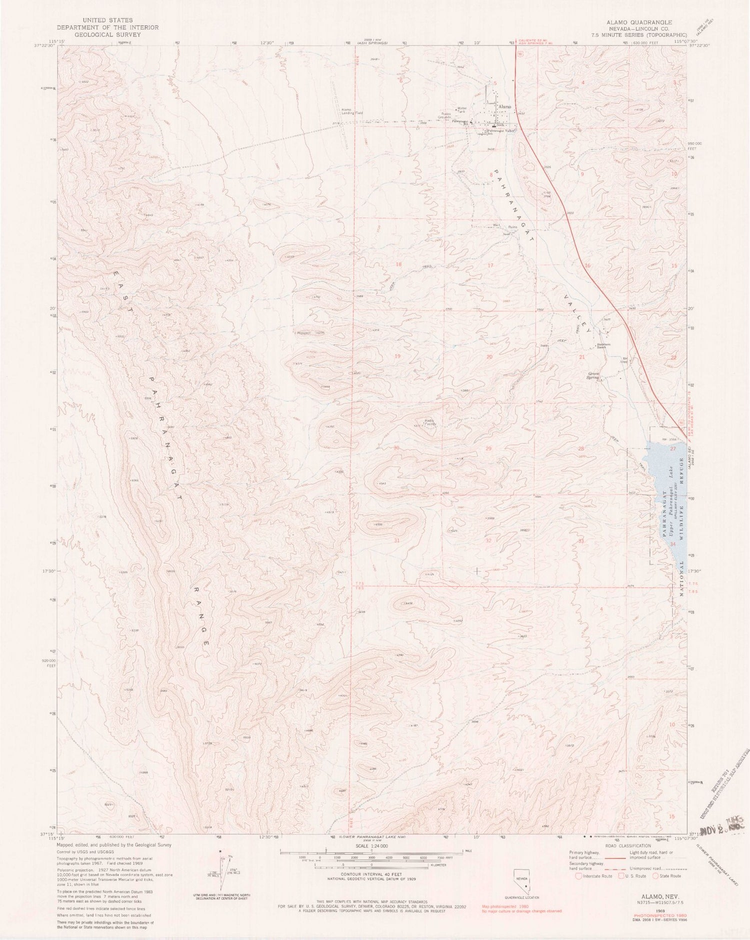
Classic USGS Alamo Nevada 7.5'x7.5' Topo Map
Couldn't load pickup availability
Historical USGS topographic quad map of Alamo in the state of Nevada. Map scale may vary for some years, but is generally around 1:24,000. Print size is approximately 24" x 27"
This quadrangle is in the following counties: Lincoln.
The map contains contour lines, roads, rivers, towns, and lakes. Printed on high-quality waterproof paper with UV fade-resistant inks, and shipped rolled.
Contains the following named places: Alamo, Alamo Cemetery, Alamo Company Canal, Alamo Company East Ditch, Alamo Landing Field, Alamo Post Office, Alamo School, Buckhorn Ranch, East Pahranagat Range, Grove Spring, Lincoln County Sheriff's Office - Alamo Substation, Pahranagat Creek, Pahranagat Valley Elementary School, Pahranagat Valley High School, Pahranagat Valley Middle School, Pahranagat Valley Volunteer Fire Department, Piersons Ranch, Upper Pahranagat Lake