MyTopo
Classic USGS Albany Island Michigan 7.5'x7.5' Topo Map
Regular price
$16.95
Regular price
Sale price
$16.95
Unit price
per
Couldn't load pickup availability
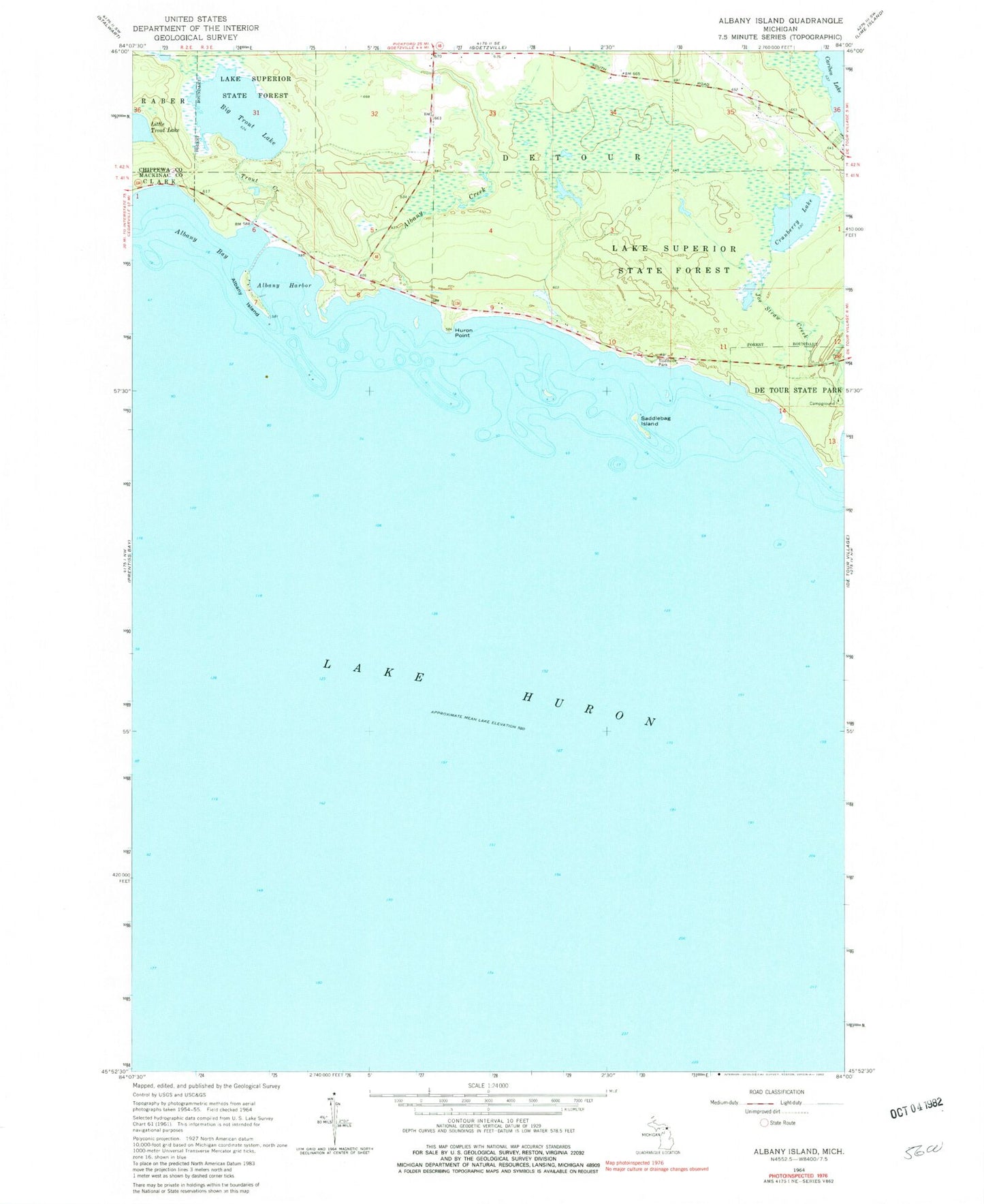
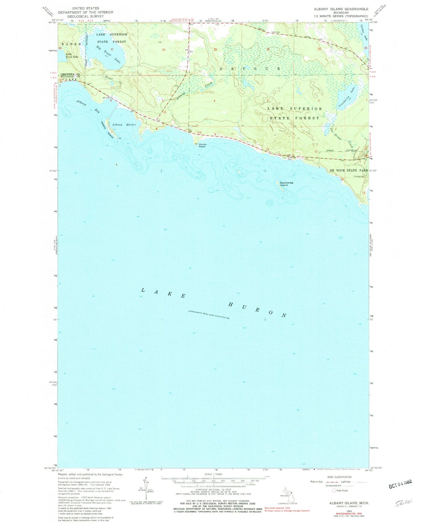
Historical USGS topographic quad map of Albany Island in the state of Michigan. Map scale may vary for some years, but is generally around 1:24,000. Print size is approximately 24" x 27"
This quadrangle is in the following counties: Chippewa, Mackinac.
The map contains contour lines, roads, rivers, towns, and lakes. Printed on high-quality waterproof paper with UV fade-resistant inks, and shipped rolled.
Contains the following named places: Albany Bay, Albany Creek, Albany Harbor, Albany Island, Big Trout Lake, Cranberry Lake, De Tour Roadside Park, De Tour State Forest Campground, De Tour State Park, Huron Point, Little Trout Lake, Saddlebag Island, Trout Creek, ZIP Code: 49725