MyTopo
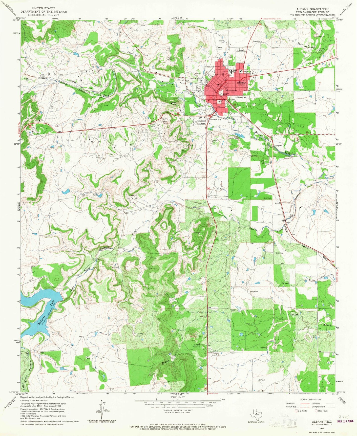
Classic USGS Albany Texas 7.5'x7.5' Topo Map
Couldn't load pickup availability
Historical USGS topographic quad map of Albany in the state of Texas. Map scale may vary for some years, but is generally around 1:24,000. Print size is approximately 24" x 27"
This quadrangle is in the following counties: Shackelford.
The map contains contour lines, roads, rivers, towns, and lakes. Printed on high-quality waterproof paper with UV fade-resistant inks, and shipped rolled.
Contains the following named places: Albany, Albany City Hall, Albany Municipal Airport, Albany Police Department, Albany Post Office, Albany Volunteer Fire Department, City of Albany, Cook Creek, First Baptist Church, McCarty Lake, McCarty Lake Dam, Nancy Smith Elementary School, North Fork Salt Prong Hubbard Creek, Presbyterian Church Nanse, Shackelford County, Shackelford County Courthouse Historic District, Shackelford County Emergency Medical Service, Shackelford County Jail, Shackelford County Sheriff's Office, Smith School, Taylor Airport, Webb Memorial Park