MyTopo
Classic USGS Albert Lea West Minnesota 7.5'x7.5' Topo Map
Couldn't load pickup availability
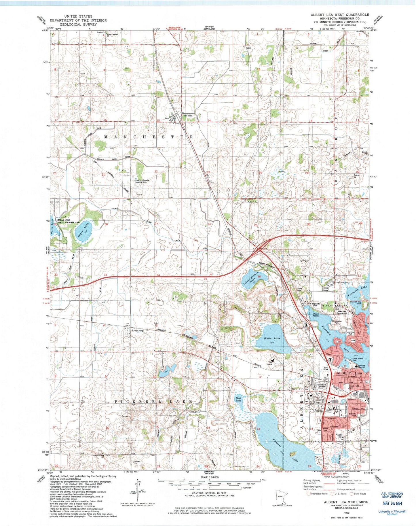
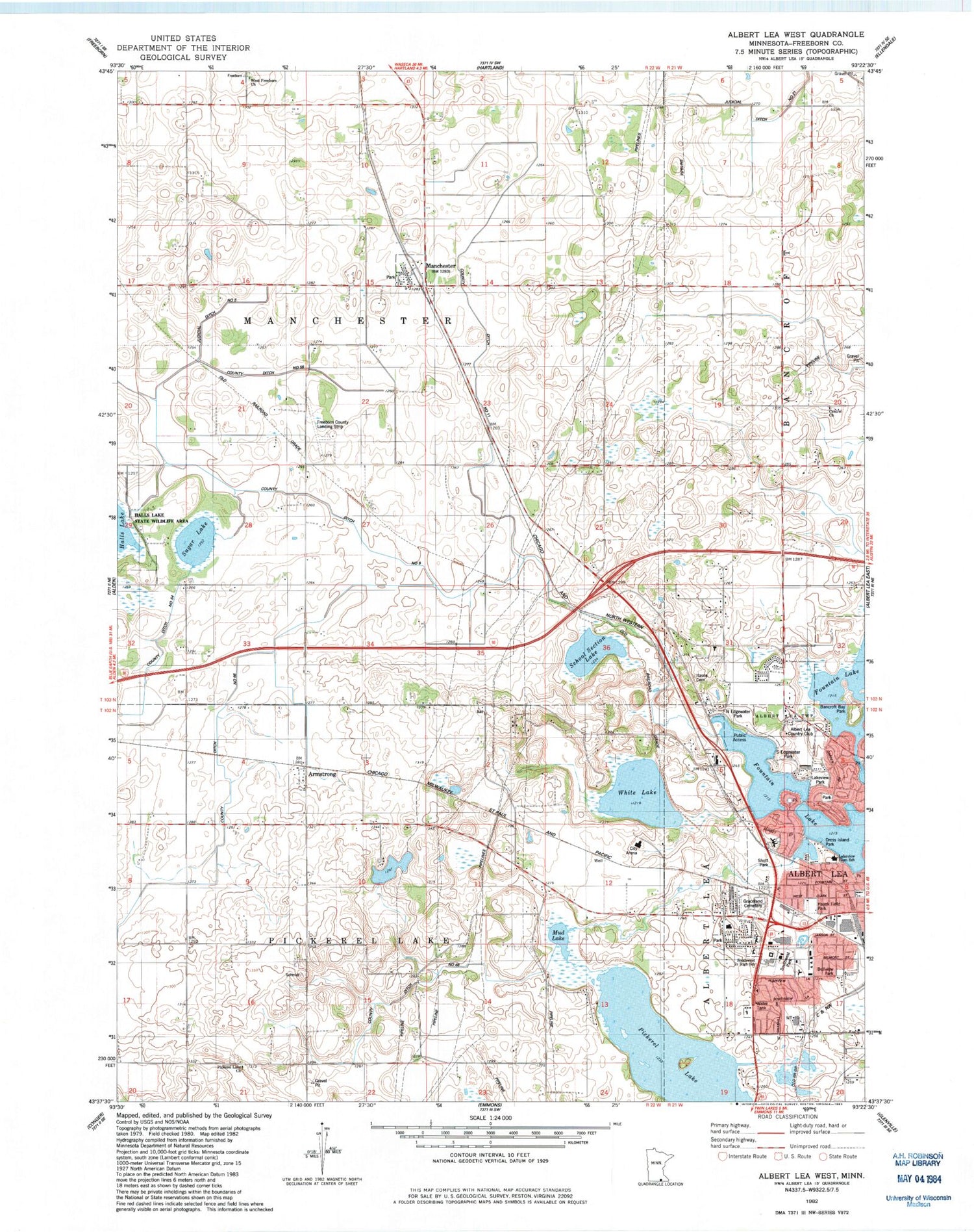
Historical USGS topographic quad map of Albert Lea West in the state of Minnesota. Map scale may vary for some years, but is generally around 1:24,000. Print size is approximately 24" x 27"
This quadrangle is in the following counties: Freeborn.
The map contains contour lines, roads, rivers, towns, and lakes. Printed on high-quality waterproof paper with UV fade-resistant inks, and shipped rolled.
Contains the following named places: Albert Lea Country Club, Armstrong, Armstrong Post Office, Ascension Lutheran Church, Bancroft Bay Park, Bellview Park, Big Oak School, Central Church, Central Lutheran Cemetery, City of Manchester, Concordia Lutheran Church Cemetery of Pickerel Lake, County Ditch Number Eleven, County Ditch Number Fiftyeight, County Ditch Number Fiftyfour, County Ditch Number Nine, County Ditch Number Sixtyeight, County Ditch Number Sixtysix, Dress Island Park, Fountain Lake, Freeborn County Landing Strip, Gerold and Robert Pestorious Fish Pond Dam, Graceland Cemetery, Halls Lake State Wildlife Area, Hayek Field Park, Hopkins School, Itasca Cemetery, Itasca School, Judicial Ditch Number Five, Judicial Ditch Number Twentyone, Lake Val Halla, Lakeview Elementary School, Lakeview Park, Manchester, Manchester City Hall, Manchester Fire Department, Manchester Post Office, Mud Lake, Norby School, North Edgewater Park, Pickerel Lake, Pickerel Lake Church, Ruble School, Saint Johns Lutheran Home, School Section Lake, Seventh Day Adventist Church, Severson School, Shoff Park, Sibley Elementary School, Skyline Mall, South Armstrong School, South Edgewater Park, Southwest Junior High School, Southwest Park, Sugar Lake, Township of Manchester, Township of Pickerel Lake, United Methodist Church, Wedgewood Park, West Freeborn Cemetery, West Freeborn Church, White Lake


