MyTopo
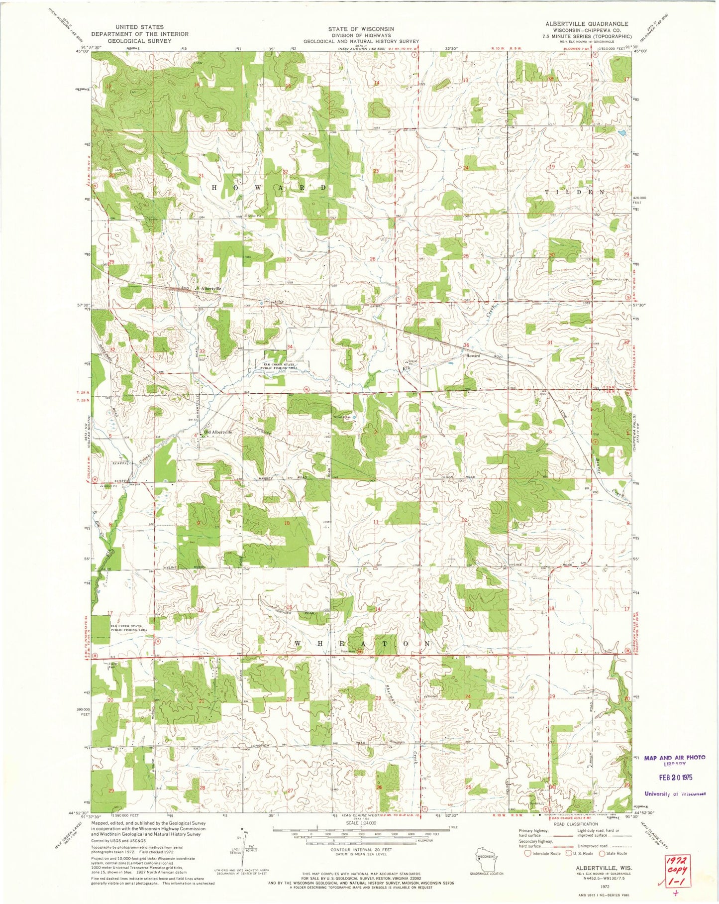
Classic USGS Albertville Wisconsin 7.5'x7.5' Topo Map
Couldn't load pickup availability
Historical USGS topographic quad map of Albertville in the state of Wisconsin. Map scale may vary for some years, but is generally around 1:24,000. Print size is approximately 24" x 27"
This quadrangle is in the following counties: Chippewa.
The map contains contour lines, roads, rivers, towns, and lakes. Printed on high-quality waterproof paper with UV fade-resistant inks, and shipped rolled.
Contains the following named places: Albertville, Big Elk Creek, Elk Creek School, Elk Creek State Public Fishing Area, Flying R Ranch, Hillside School, Howard, Old Albertville, Steinmetz Dairy Farm, Sundance Hill Farms, Sunny Valley School, Thorncreek Farm, Town of Howard, Town of Wheaton, WECL-FM (Elk Mound), Wheaton Fire and Rescue, Wheaton Generating Station, Wheaton Substation