MyTopo
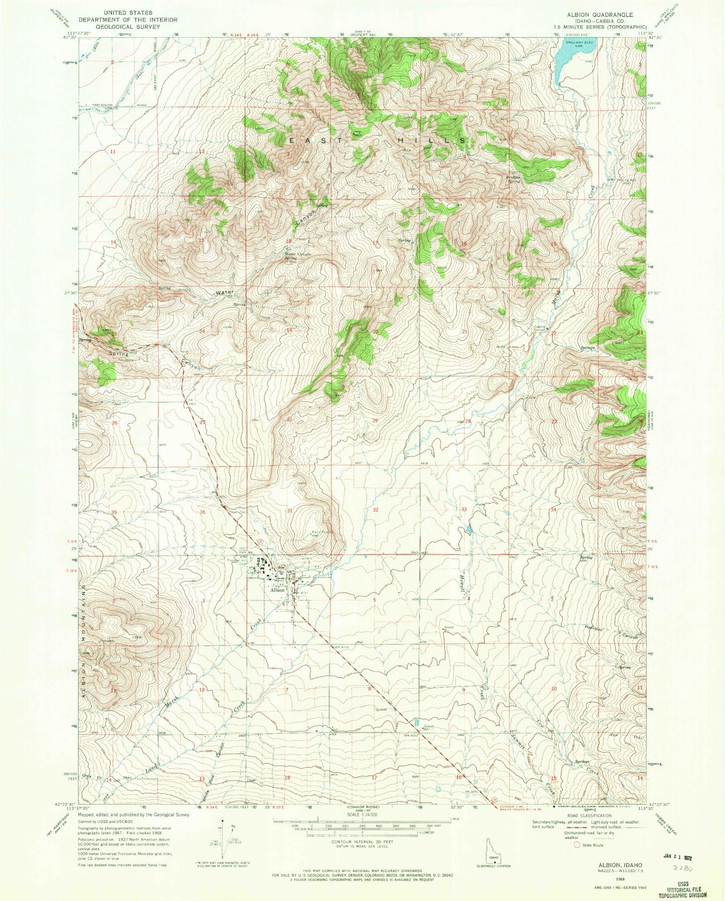
Classic USGS Albion Idaho 7.5'x7.5' Topo Map
Couldn't load pickup availability
Historical USGS topographic quad map of Albion in the state of Idaho. Map scale may vary for some years, but is generally around 1:24,000. Print size is approximately 24" x 27"
This quadrangle is in the following counties: Cassia.
The map contains contour lines, roads, rivers, towns, and lakes. Printed on high-quality waterproof paper with UV fade-resistant inks, and shipped rolled.
Contains the following named places: Albion, Albion Elementary School, Albion Fire Protection District, Albion Municipal Airport, Albion Post Office, Albion Quick Response Unit, Bridger Spring, City of Albion, Cow Creek, East Hills, Gray Creek, H 6 Lateral, Harroun Canyon, Howell Creek, J 7 Lateral, J 8 Lateral, J 9 Lateral, Land Creek, Pleasant Hill Cemetery, Spring Canyon, Summit Creek, Water Canyon, Water Canyon Spring, White Pine Canyon, ZIP Code: 83311