MyTopo
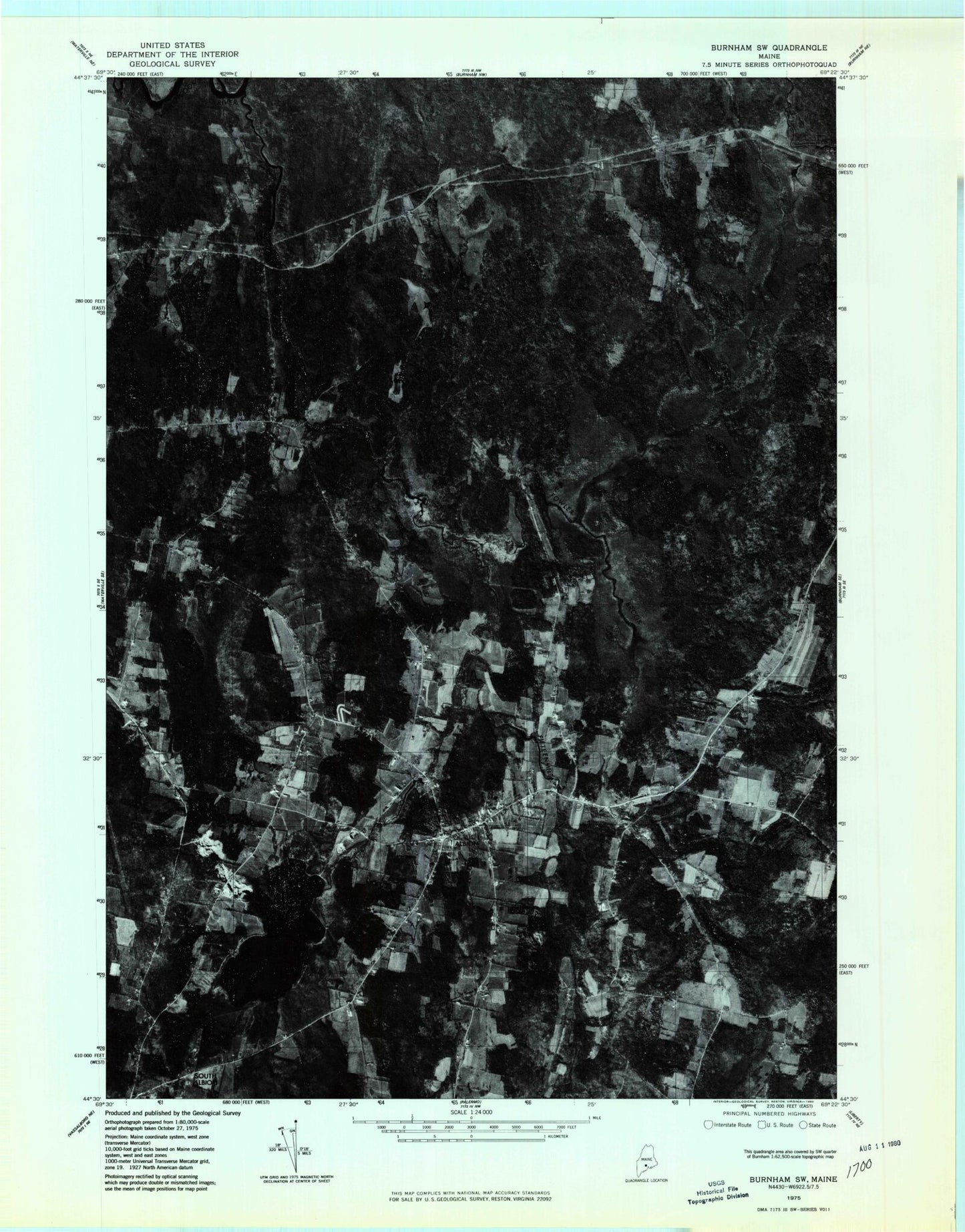
Classic USGS Albion Maine 7.5'x7.5' Topo Map
Couldn't load pickup availability
Historical USGS topographic quad map of Albion in the state of Maine. Map scale may vary for some years, but is generally around 1:24,000. Print size is approximately 24" x 27"
This quadrangle is in the following counties: Kennebec, Waldo.
The map contains contour lines, roads, rivers, towns, and lakes. Printed on high-quality waterproof paper with UV fade-resistant inks, and shipped rolled.
Contains the following named places: Abbott Cemetery, Albion, Albion Cemetery 4, Albion Elementary School, Albion Fire Department, Albion Post Office, Albion Public Library, East Benton, Fifteenmile Stream, Foss Hill, Fowler Bog, Fowler Brook, Fowler Cemetery, Gridiron Bridge, Lovejoy Pond, Maple Grove Cemetery, Mill Stream, Mill Stream Dam, Pratt Stream, Puddledock Bridge, Puddledock Hall, Quaker Hill Cemetery, Shaw Cemetery, Shore Hill, South Albion, Town of Albion, Unorganized Territory of Unity, Whitaker Cemetery, ZIP Code: 04910