MyTopo
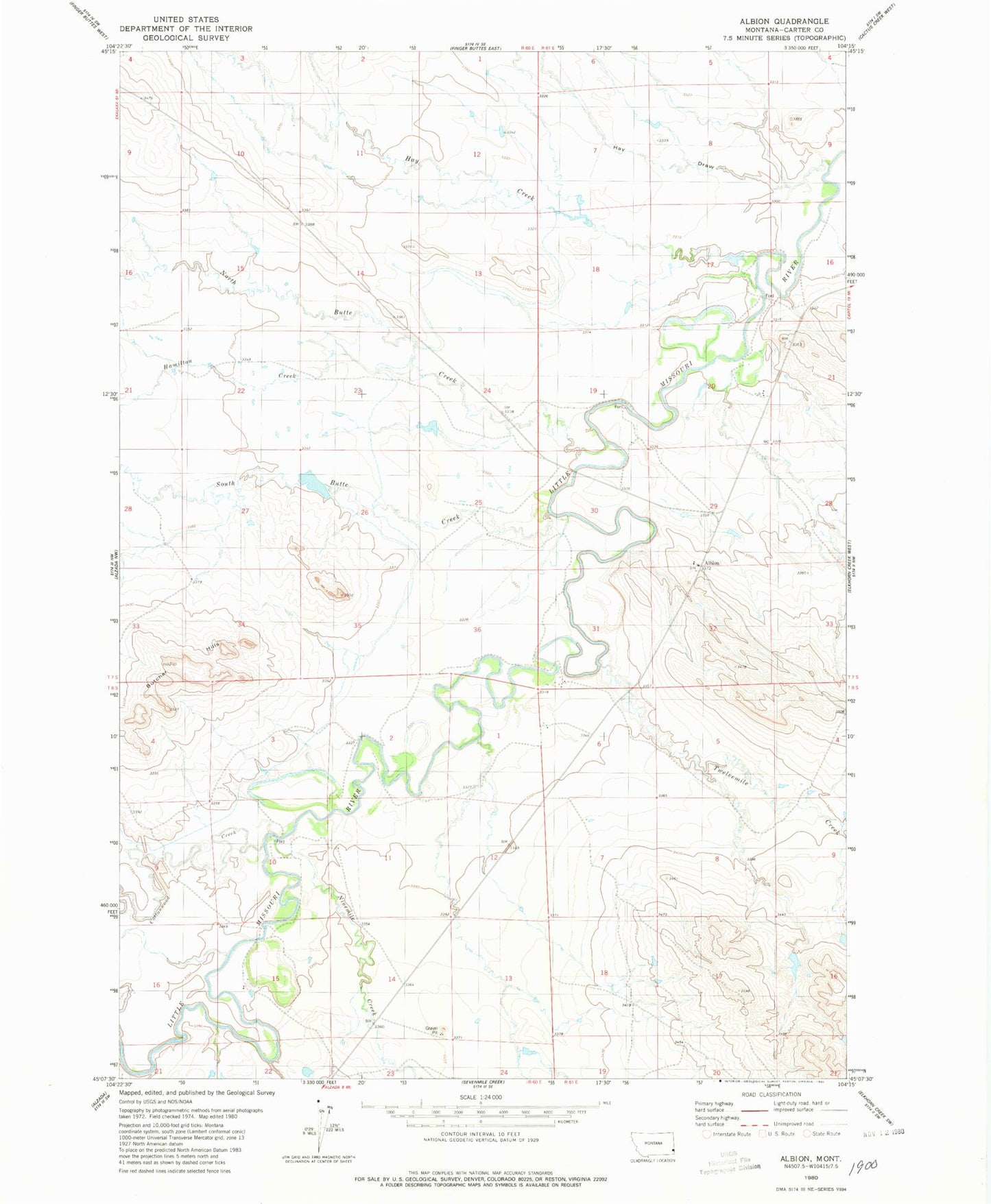
Classic USGS Albion Montana 7.5'x7.5' Topo Map
Couldn't load pickup availability
Historical USGS topographic quad map of Albion in the state of Montana. Map scale may vary for some years, but is generally around 1:24,000. Print size is approximately 24" x 27"
This quadrangle is in the following counties: Carter.
The map contains contour lines, roads, rivers, towns, and lakes. Printed on high-quality waterproof paper with UV fade-resistant inks, and shipped rolled.
Contains the following named places: 08S60E15CABD01 Well, Albion, Albion Post Office, Albion School, Arbuckle Number 1 Dam, Arbuckle Number 2 Dam, Butcher Hills, Cottonwood Creek, Hamilton Creek, Hay Creek, Hay Draw, Korneman Dam, Ninemile Creek, North Butte Creek, Oliver Number 2 Dam, Rhoades Post Office, South Butte Creek, Twelvemile Creek