MyTopo
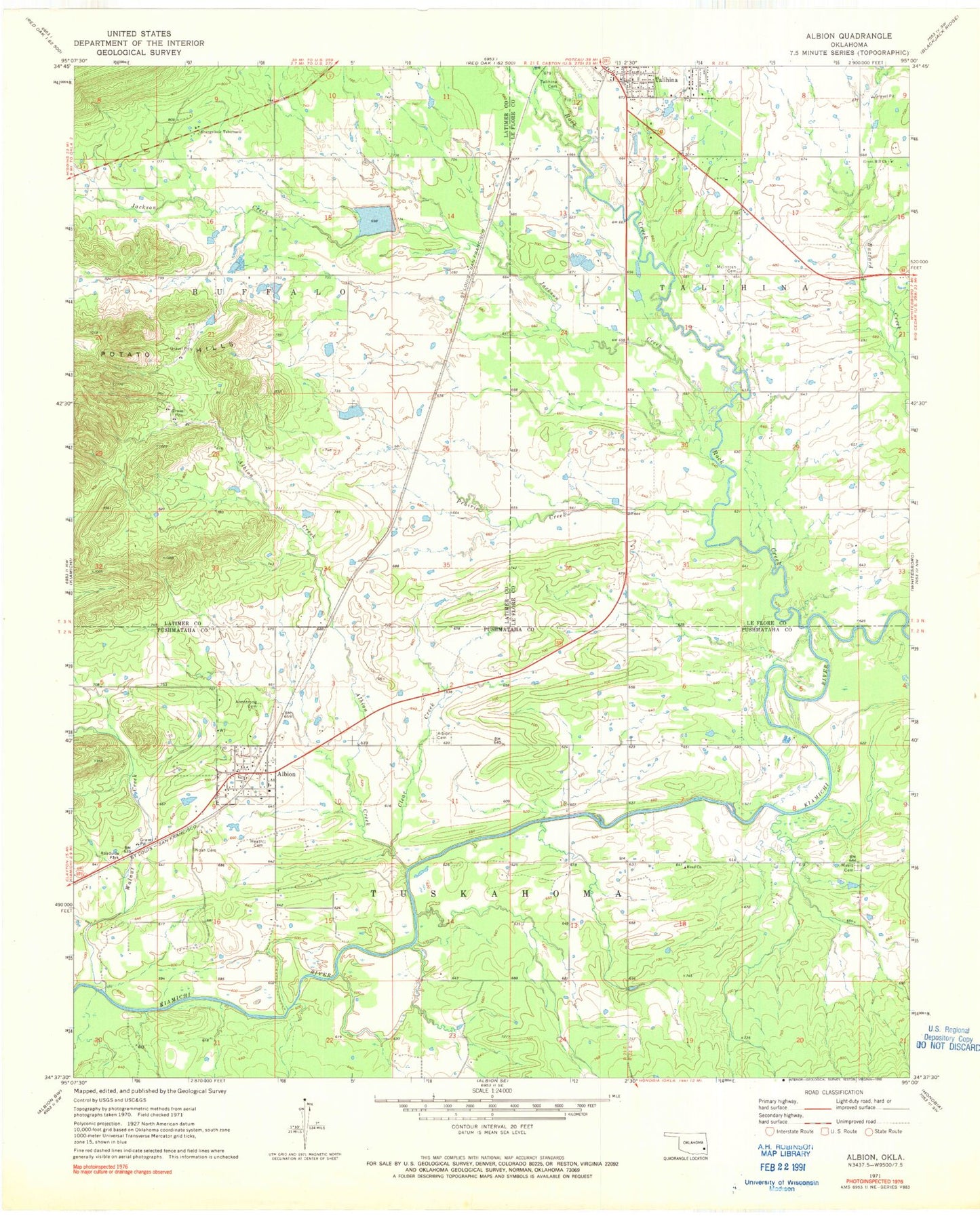
Classic USGS Albion Oklahoma 7.5'x7.5' Topo Map
Couldn't load pickup availability
Historical USGS topographic quad map of Albion in the state of Oklahoma. Map scale may vary for some years, but is generally around 1:24,000. Print size is approximately 24" x 27"
This quadrangle is in the following counties: Latimer, Le Flore, Pushmataha.
The map contains contour lines, roads, rivers, towns, and lakes. Printed on high-quality waterproof paper with UV fade-resistant inks, and shipped rolled.
Contains the following named places: Albion, Albion Cemetery, Albion Creek, Albion Elementary School, Albion Fire Department, Albion Post Office, Armstrong Cemetery, Clear Creek, Evangelistic Tabernacle, Green Hill Church, Head Church, Heath Cemetery, Homer Ranch Airport, Jackson Creek, Little Buzzard Creek, Martha Lingenfelter Lake, Martha Lingenfelter Lake Dam, McIntosh Cemetery, Myers Cemetery, New Talihina Cemetery, Noah Cemetery, Oknoname 077002 Dam, Oknoname 077002 Reservoir, Oknoname 077006 Dam, Oknoname 077006 Reservoir, Old Talihina Cemetery, Prairie Creek, Rock Creek, Rock Creek Site 1 Dam, Rock Creek Site 1 Reservoir, Talihina Municipal Airport, Town of Albion, Walnut Creek, ZIP Code: 74521