MyTopo
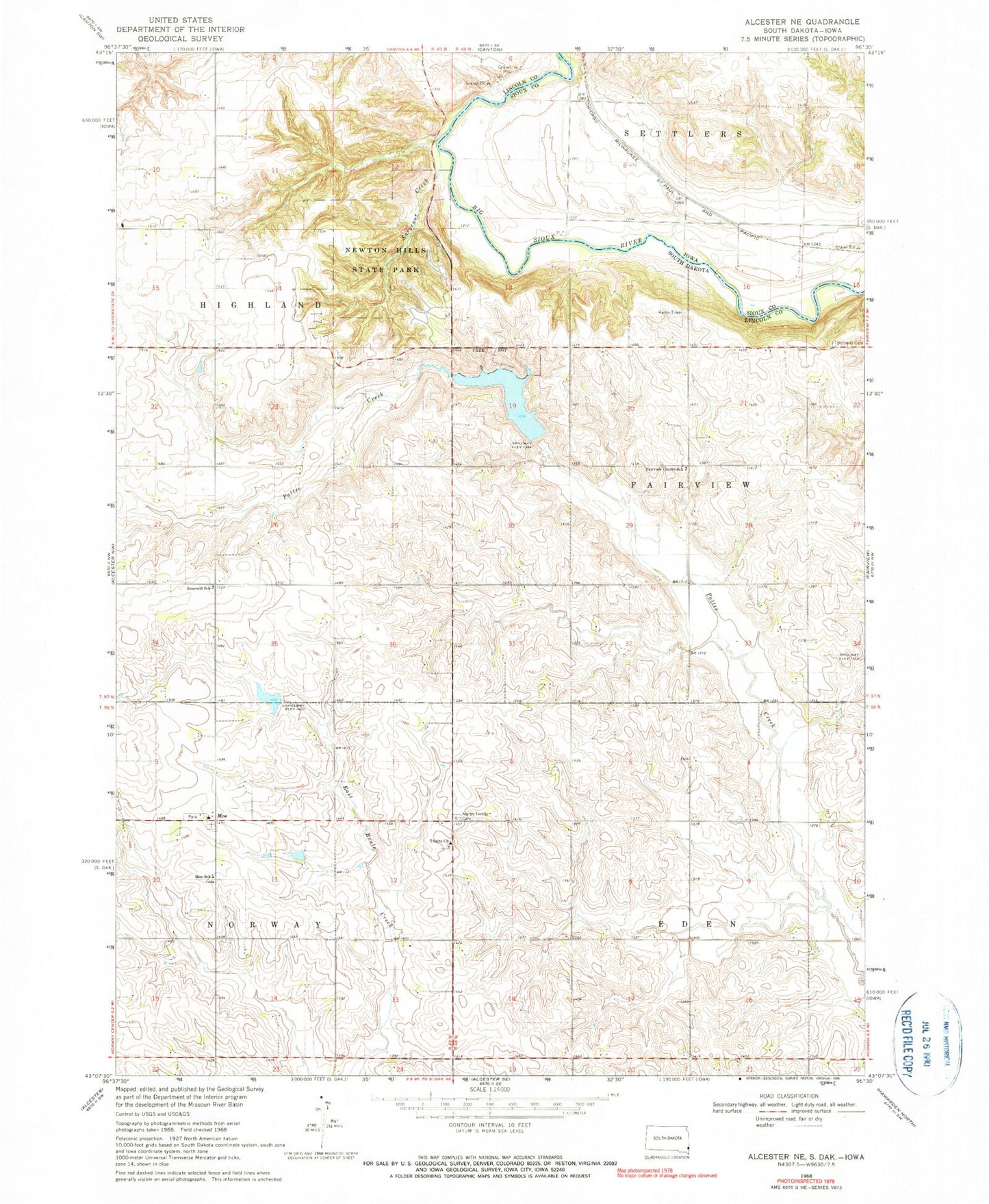
Classic USGS Alcester NE South Dakota 7.5'x7.5' Topo Map
Couldn't load pickup availability
Historical USGS topographic quad map of Alcester NE in the states of South Dakota, Iowa. Typical map scale is 1:24,000, but may vary for certain years, if available. Print size: 24" x 27"
This quadrangle is in the following counties: Lincoln, Sioux.
The map contains contour lines, roads, rivers, towns, and lakes. Printed on high-quality waterproof paper with UV fade-resistant inks, and shipped rolled.
Contains the following named places: Bethany Cemetery, Fairview Center School, Jensvold School, Moe School, Newton Hills State Park, North Trinity Cemetery, Sargeant Creek, Trinity Church, Pattee Creek Flood Control Dam, Moe, Township of Eden, Township of Fairview, Lands Lutheran Cemetery, Trinity Lutheran Cemetery South, Valley View Farms