MyTopo
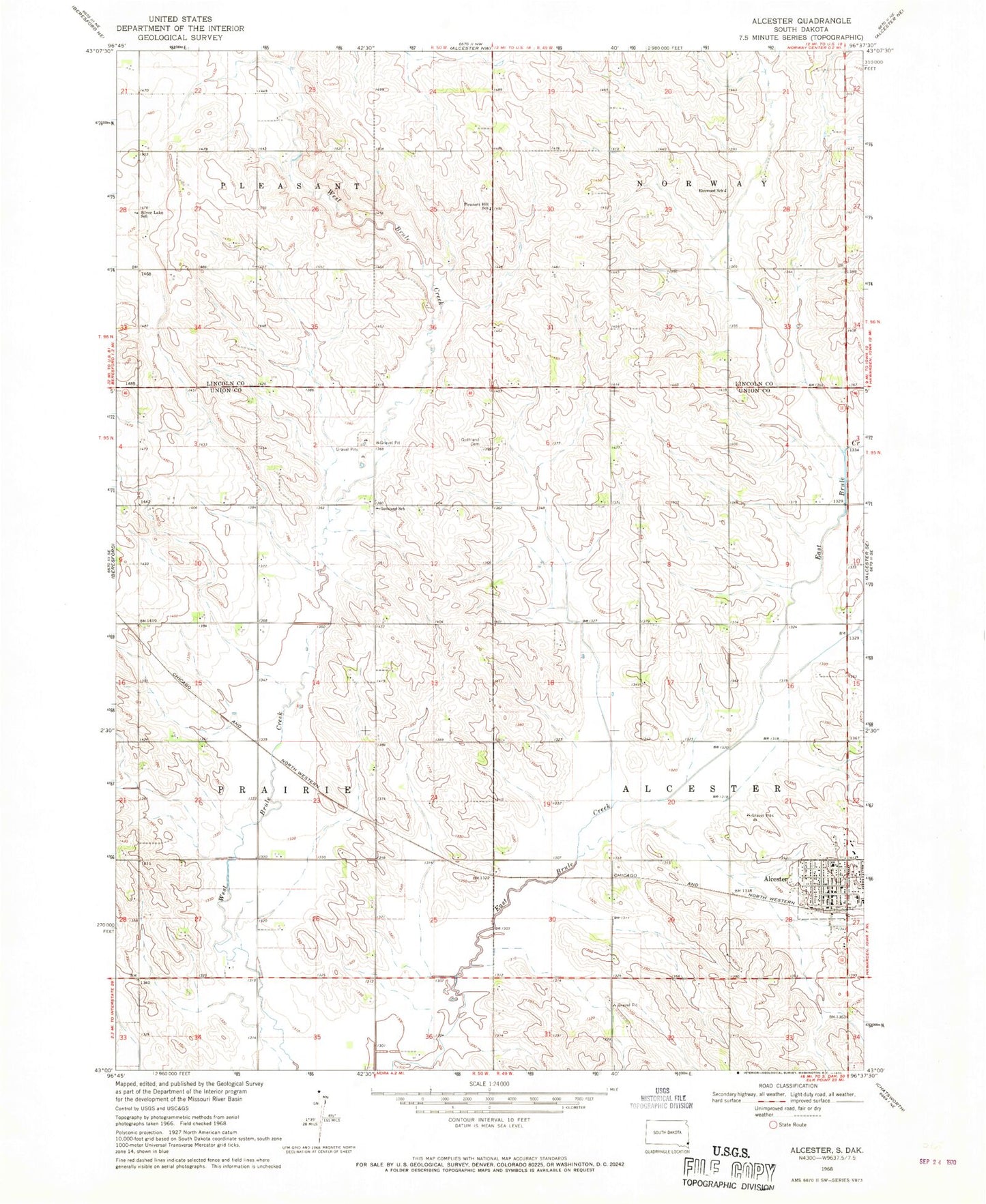
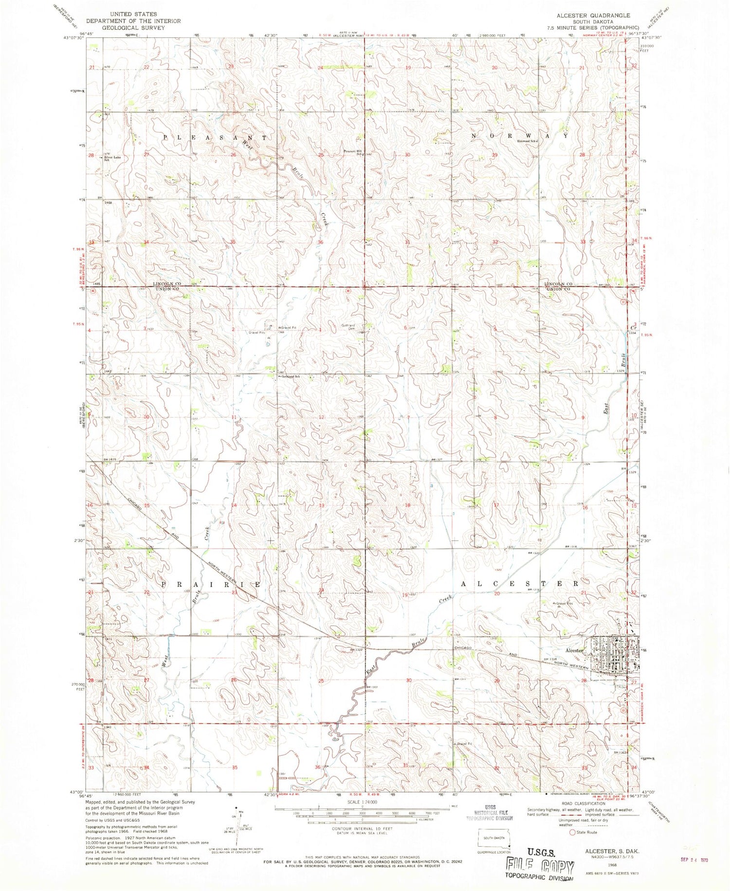
Classic USGS Alcester South Dakota 7.5'x7.5' Topo Map
Couldn't load pickup availability
Historical USGS topographic quad map of Alcester in the state of South Dakota. Map scale may vary for some years, but is generally around 1:24,000. Print size is approximately 24" x 27"
This quadrangle is in the following counties: Lincoln, Union.
The map contains contour lines, roads, rivers, towns, and lakes. Printed on high-quality waterproof paper with UV fade-resistant inks, and shipped rolled.
Contains the following named places: Alcester, Alcester City Hall, Alcester Emergency Medical Service, Alcester Police Department, Alcester Post Office, Alcester Public Library, Alcester Volunteer Fire Department, Alcester-Hudson High School, Alcester-Hudson Junior High School, City of Alcester, Elmwood School, Gothland Cemetery, Gothland School, Pleasant Hill School, School Number 10, School Number 51, School Number 52, School Number 57, Silver Lake School, Sunnyside, Township of Alcester, Township of Prairie