MyTopo
Classic USGS Alcona Dam Pond Michigan 7.5'x7.5' Topo Map
Couldn't load pickup availability
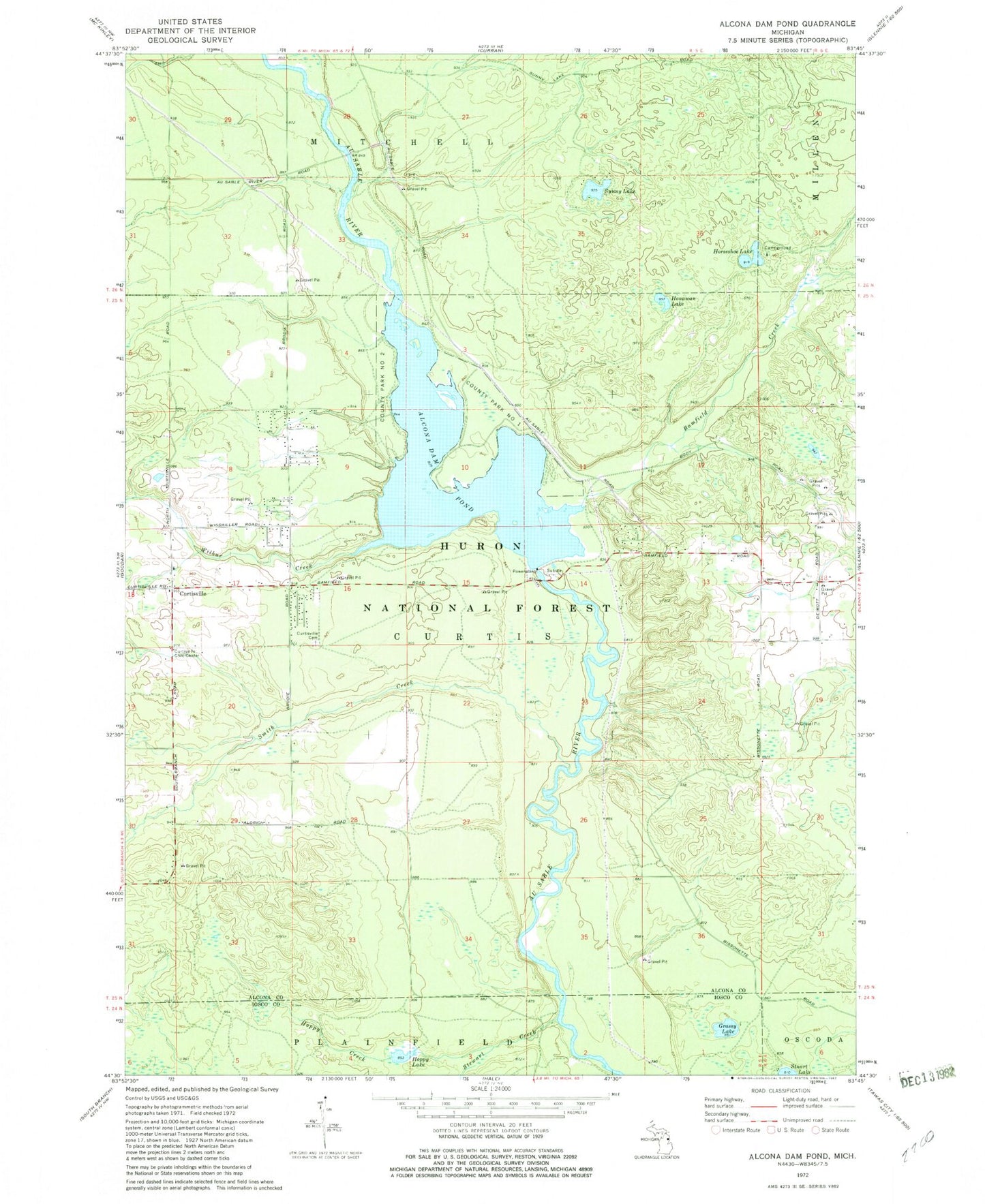
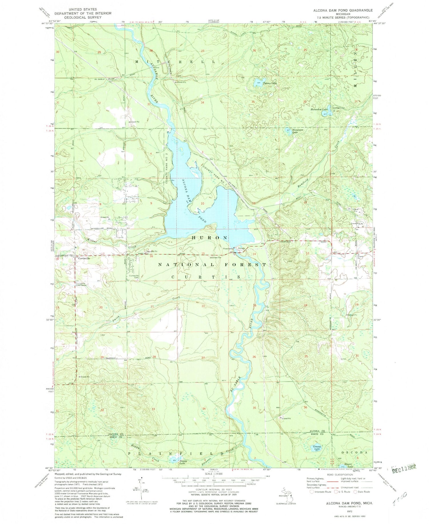
Historical USGS topographic quad map of Alcona Dam Pond in the state of Michigan. Typical map scale is 1:24,000, but may vary for certain years, if available. Print size: 24" x 27"
This quadrangle is in the following counties: Alcona, Iosco.
The map contains contour lines, roads, rivers, towns, and lakes. Printed on high-quality waterproof paper with UV fade-resistant inks, and shipped rolled.
Contains the following named places: Curtisville, Grassy Lake, Hoppy Creek, Horseshoe Lake, Penoyer Creek, Sunny Lake, Alcona Dam Pond, Bamfield Creek, Curtisville Cemetery, Curtisville Civic Center, Honawan Lake, Hoppy Lake, Smith Creek, Stewart Creek, Wilbur Creek, Horseshoe Lake Campground, Township of Curtis, Bamfield Station (historical), Curtisville Post Office (historical), Bamfield Post Office (historical), Alcona County Park, Alcona Canoe Rental and Campground