MyTopo
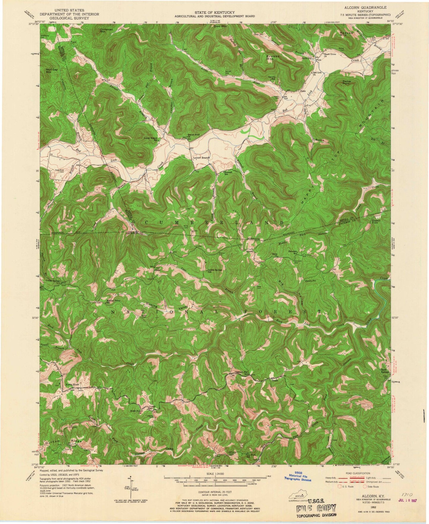
Classic USGS Alcorn Kentucky 7.5'x7.5' Topo Map
Couldn't load pickup availability
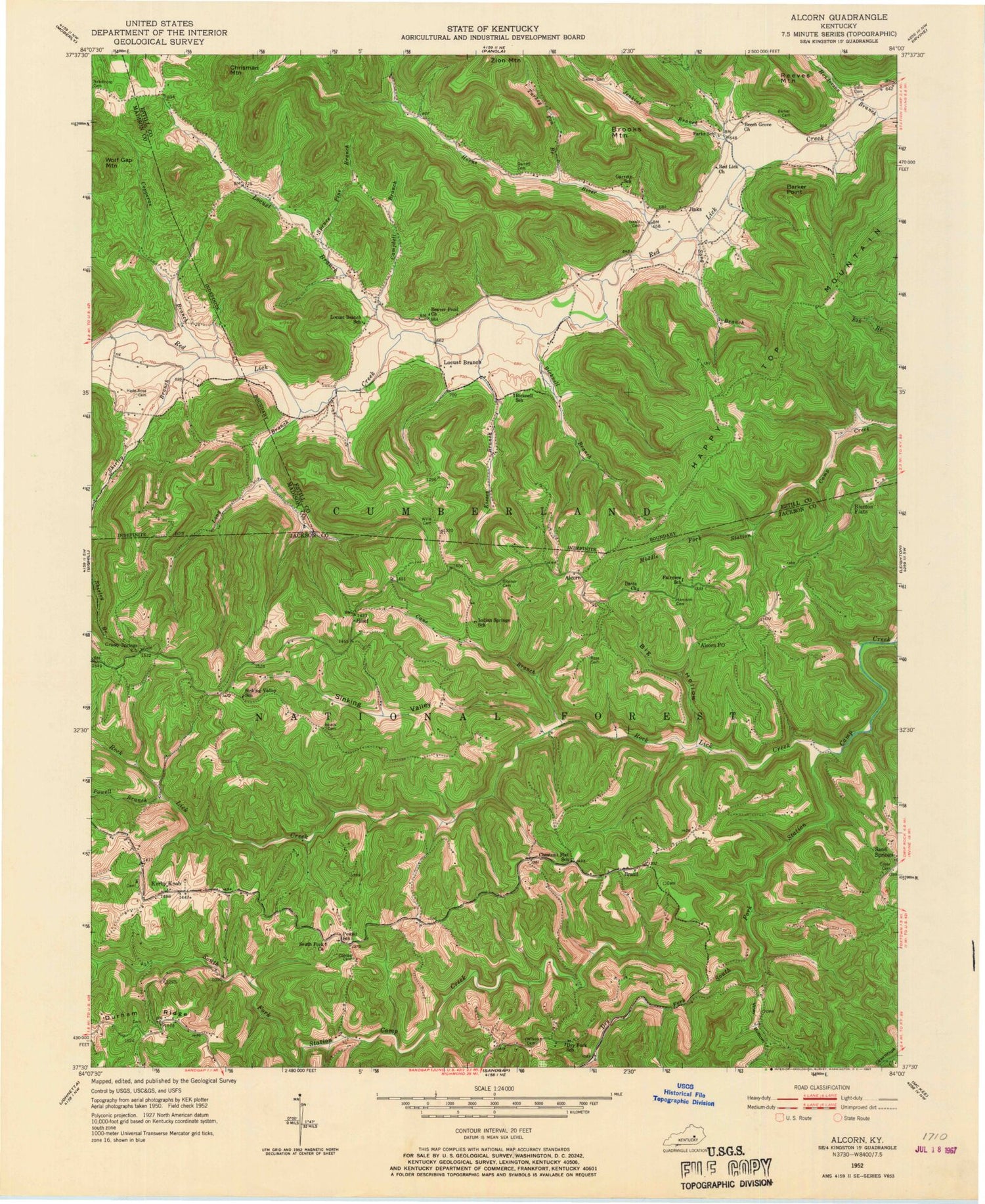
Historical USGS topographic quad map of Alcorn in the state of Kentucky. Map scale may vary for some years, but is generally around 1:24,000. Print size is approximately 24" x 27"
This quadrangle is in the following counties: Estill, Jackson, Madison.
The map contains contour lines, roads, rivers, towns, and lakes. Printed on high-quality waterproof paper with UV fade-resistant inks, and shipped rolled.
Contains the following named places: Alcorn, Alcorn Post Office, Barker Cemetery, Barker Point, Beaver Pond Church, Beech Grove Baptist Church, Bicknell, Bicknell Branch, Bicknell School, Big Hollow, Blanton Flats, Brazil, Brazil Post Office, Brooks Mountain, Campbell Branch, Cane Branch, Chestnut Flat, Chestnut Flat School, Chrisman Mountain, Combs Cemetery, Combs Post Office, Copperas Branch, Coyle Cemetery, Davis Church, Dry Fork, Dry Fork School, Durham Ridge, Fairview School, Garrett Cemetery, Garrett School, Grassy Springs Church, Gum Cemetery, Hade-Rose Cemetery, Happy Top, Happy Top Mountain, Happy Top Post Office, Harrison Cemetery, Henderson Branch, Hisel, Hisel Elementary School, Horns River, Indian Spring, Indian Springs School, Isaacs Cemetery, Jenkins Branch, Jinks, Jinks Post Office, Kerby Knob, Kirby Knob Post Office, Kirby Knob School, Kissey Branch, Kissie Hill, Locust Branch, Locust Branch Post Office, Locust Branch School, Long Branch, Needmore Cemetery, Park, Parks School, Powell Branch, Powell School, Powells Mill, Red Lick Church, Reeves Mountain, Rock Lick Creek, Rose Cemetery, Sand Gap Fire Department Station 2, Sang Branch, Shirley Branch, Sinking Valley, Sinking Valley School, Skinner Cemetery, South Fork Church, Spruce Pine Branch, Swine Cemetery, Turkey Pen Branch, Turtle Rock, Turtle Rock Store, Viney Bottom, Willis Cemetery, Wilson Cemetery


