MyTopo
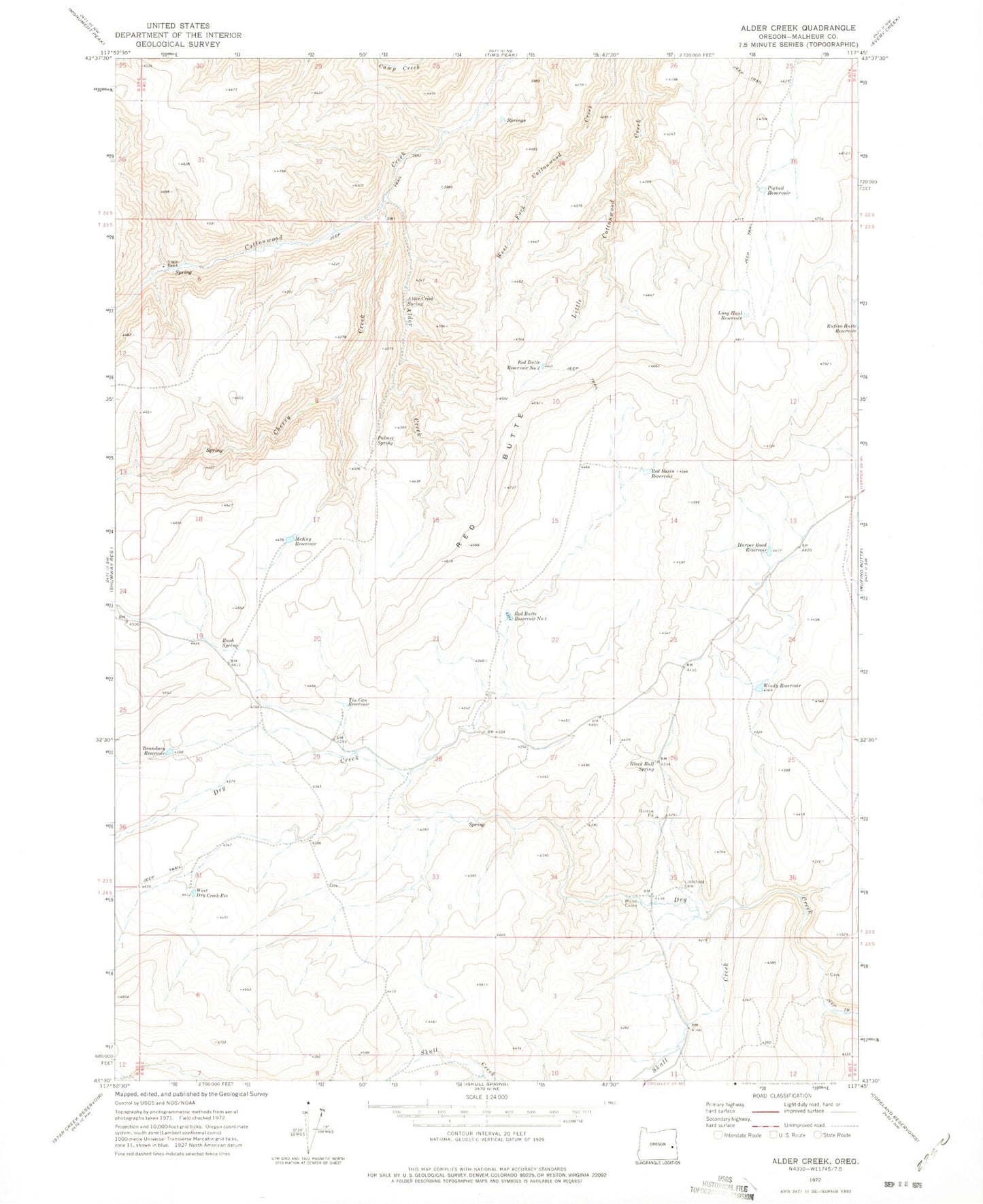
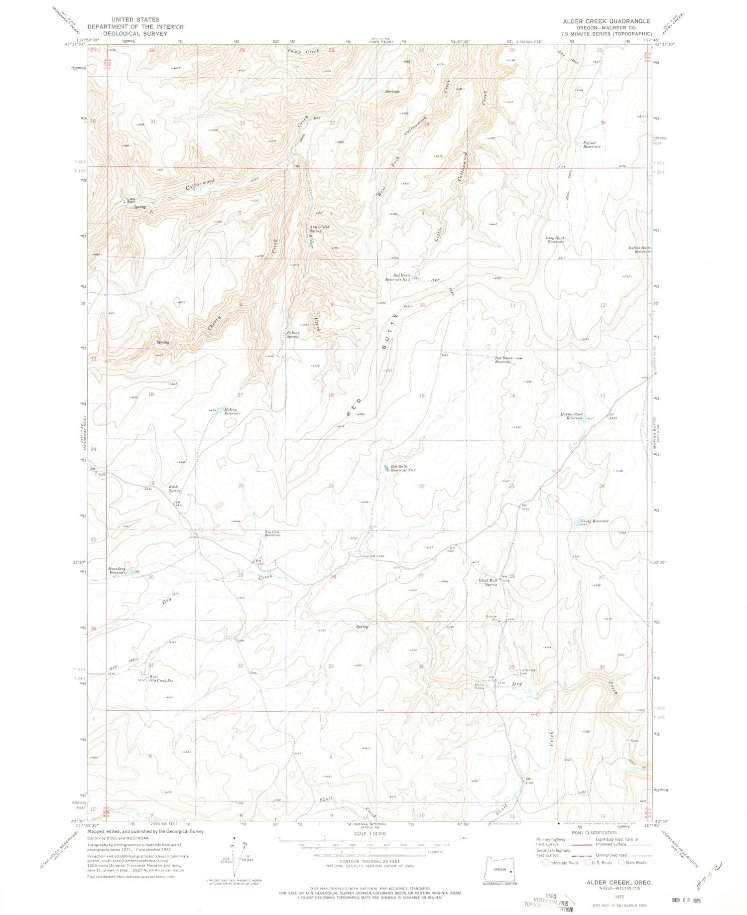
Classic USGS Alder Creek Oregon 7.5'x7.5' Topo Map
Couldn't load pickup availability
Historical USGS topographic quad map of Alder Creek in the state of Oregon. Map scale may vary for some years, but is generally around 1:24,000. Print size is approximately 24" x 27"
This quadrangle is in the following counties: Malheur.
The map contains contour lines, roads, rivers, towns, and lakes. Printed on high-quality waterproof paper with UV fade-resistant inks, and shipped rolled.
Contains the following named places: Alder Creek, Alder Creek Spring, Black Bull Spring, Boundary Reservoir, Cherry Creek, Harper Road Reservoir, Littlefield Cemetery, Long Haul Reservoir, McKay Reservoir, Miller Cabin, Palmer Spring, Pigtail Reservoir, Red Basin, Red Basin Reservoir, Red Butte, Red Butte Reservoir Number One, Red Butte Reservoir Number Two, Rufino Butte Reservoir, Rush Spring, Skull Creek, Tin Can Reservoir, West Dry Creek Reservoir, Windy Reservoir, ZIP Code: 97906