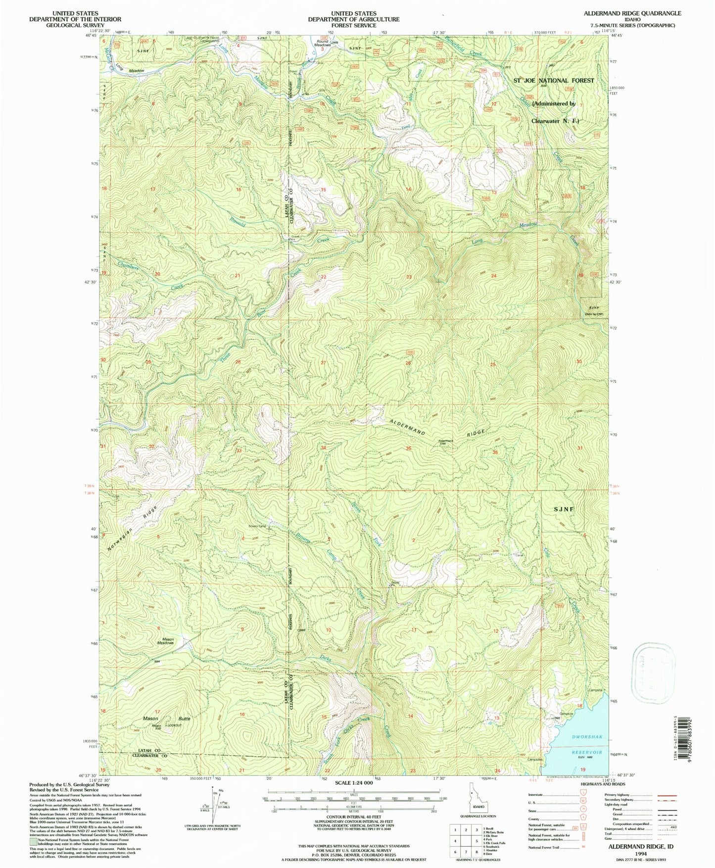
MyTopo
Classic USGS Aldermand Ridge Idaho 7.5'x7.5' Topo Map
Couldn't load pickup availability
Historical USGS topographic quad map of Aldermand Ridge in the state of Idaho. Map scale may vary for some years, but is generally around 1:24,000. Print size is approximately 24" x 27"
This quadrangle is in the following counties: Clearwater, Latah.
The map contains contour lines, roads, rivers, towns, and lakes. Printed on high-quality waterproof paper with UV fade-resistant inks, and shipped rolled.
Contains the following named places: Aldermand Ridge, Browns Camp, Browns Camp Creek, Butterfield Creek, Chambers Creek, Cole Creek, Long Meadow, Mason Butte, Mason Meadows, McGary Creek, North Fork Dicks Creek, Norwegian Ridge, Oviatt Creek, Riswold Creek, Round Meadow Creek, Round Meadows, South Fork Dicks Creek, Three Bear Creek, Tired Wolf Creek