
MyTopo
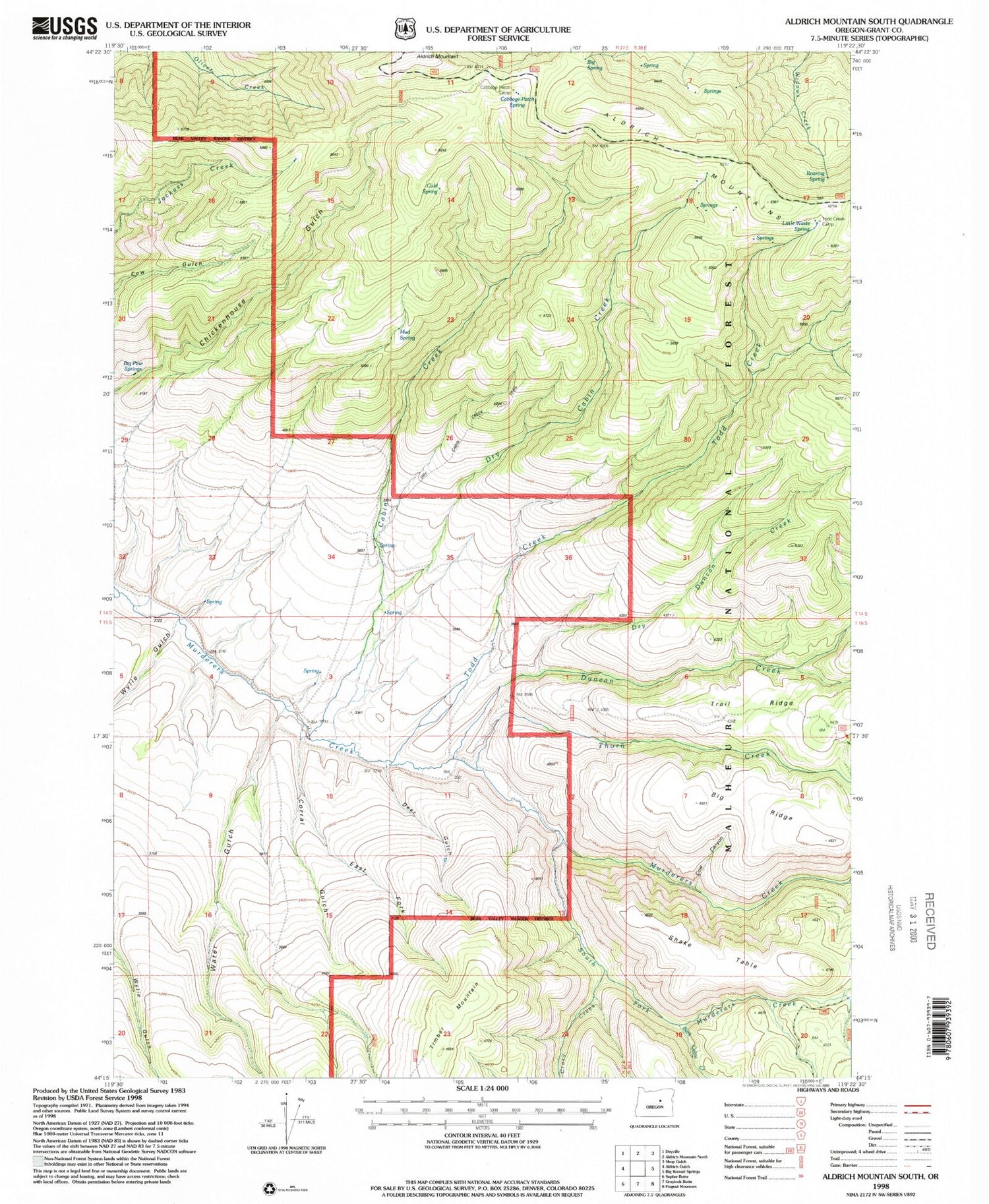
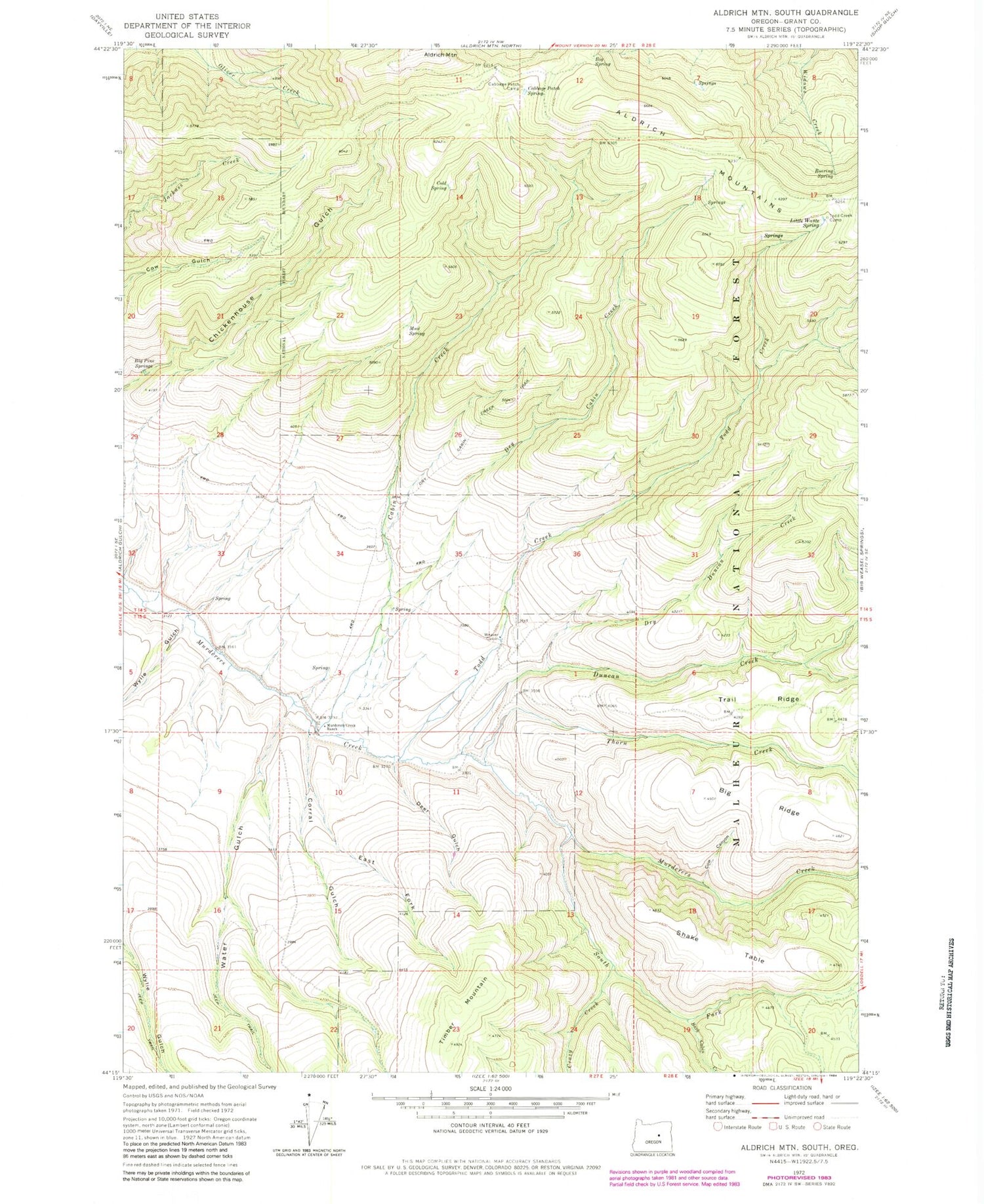
Classic USGS Aldrich Mountain South Oregon 7.5'x7.5' Topo Map
Couldn't load pickup availability
Historical USGS topographic quad map of Aldrich Mountain South in the state of Oregon. Map scale may vary for some years, but is generally around 1:24,000. Print size is approximately 24" x 27"
This quadrangle is in the following counties: Grant.
The map contains contour lines, roads, rivers, towns, and lakes. Printed on high-quality waterproof paper with UV fade-resistant inks, and shipped rolled.
Contains the following named places: Bark Cabin Creek, Big Pine Springs, Big Ridge, Big Spring, Cabbage Patch Camp, Cabbage Patch Spring, Cabin Creek, Cabin Creek Trail, Cold Spring, Corral Gulch, Cow Canyon, Crazy Creek, Deer Gulch, Dry Cabin Creek, Dry Cabin Creek Trail, Dry Duncan Creek, Dry Duncan Creek Trail, Duncan Creek, East Fork Corral Gulch, Mud Spring, Murderers Creek Ranch, Roaring Spring, Shake Table, South Fork Murderers Creek, Thorn Creek, Timber Mountain, Todd Creek, Todd Creek Camp, Trail Ridge, Water Gulch, Weaver Cabin, Wylie Gulch


