MyTopo
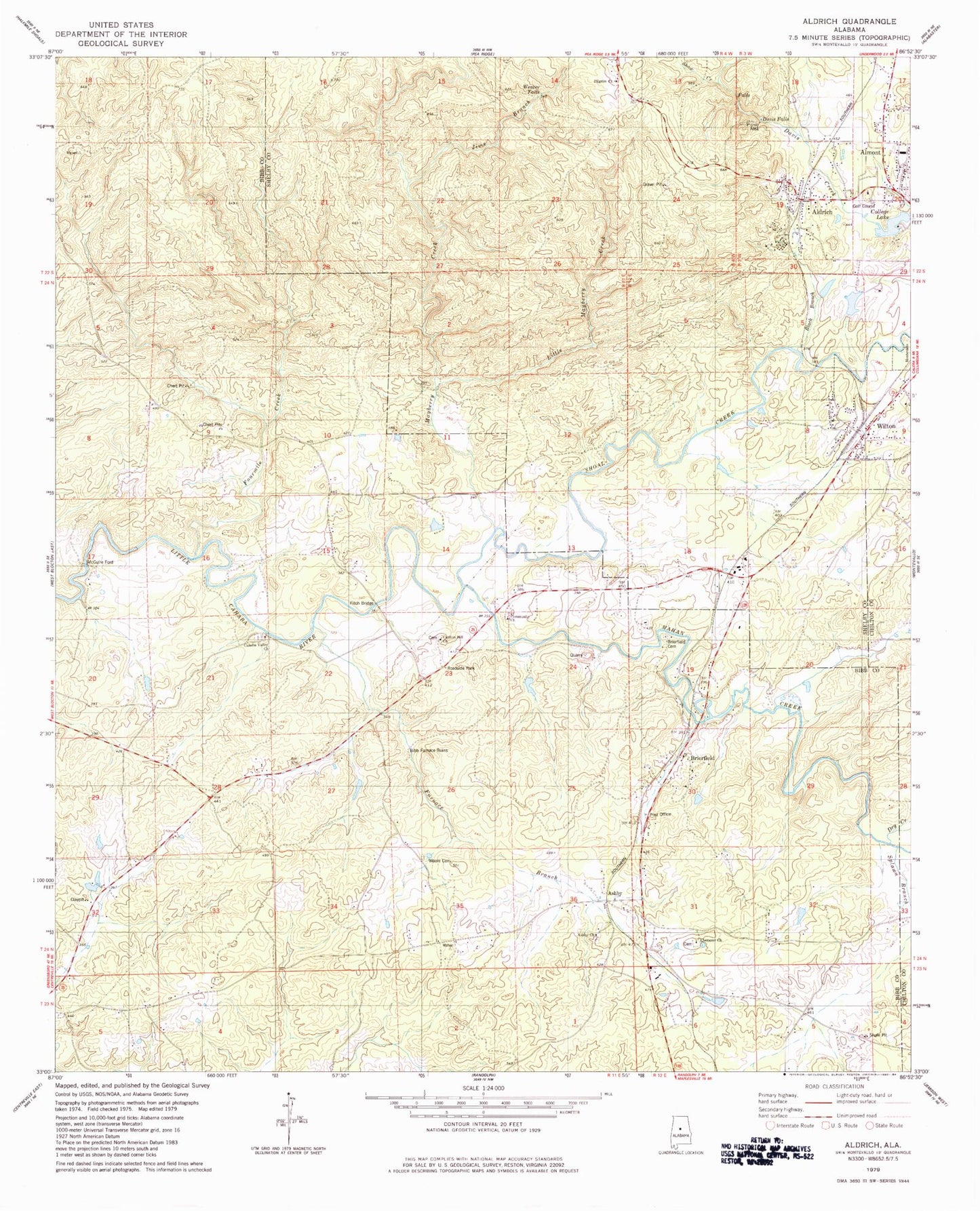
Classic USGS Aldrich Alabama 7.5'x7.5' Topo Map
Couldn't load pickup availability
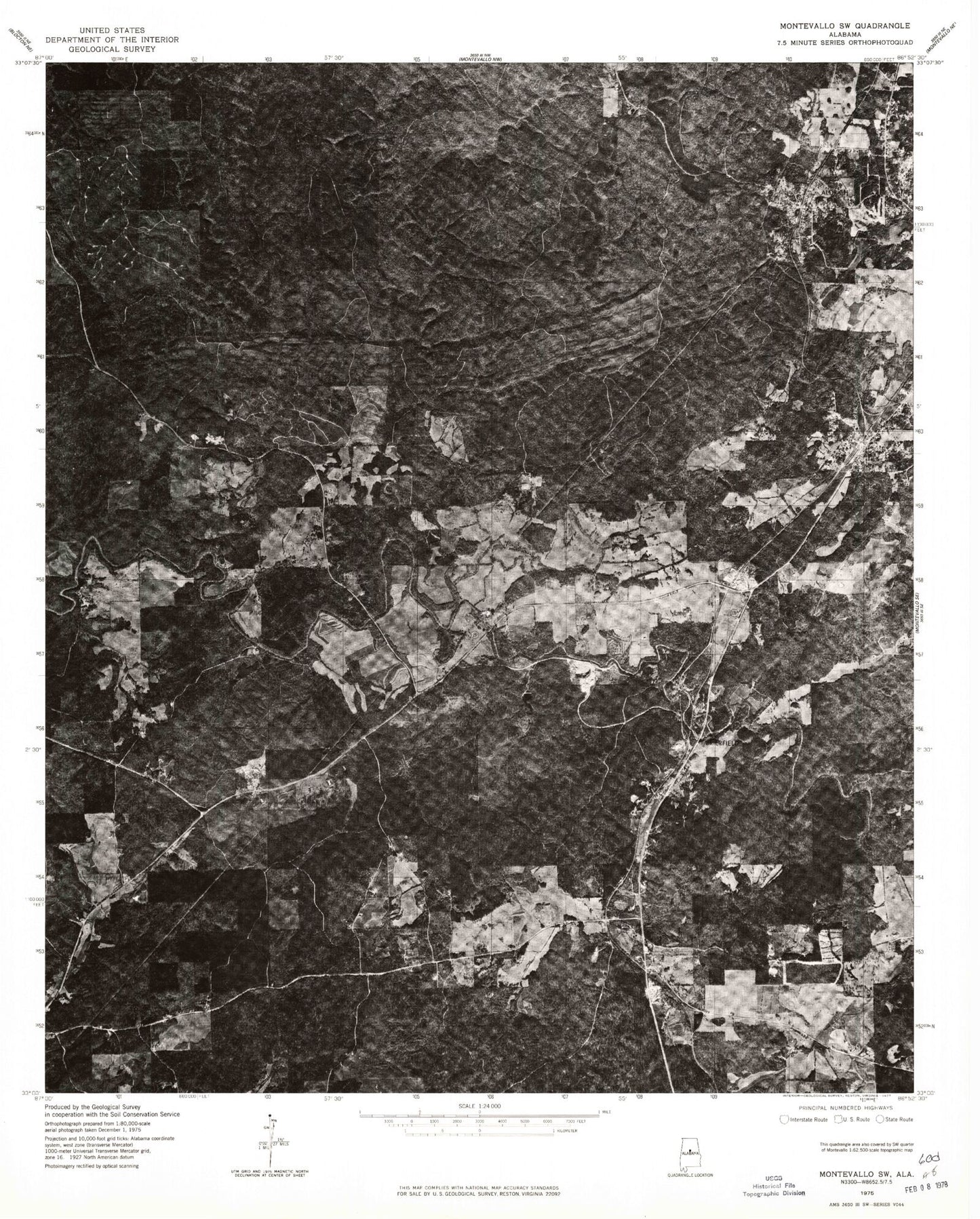
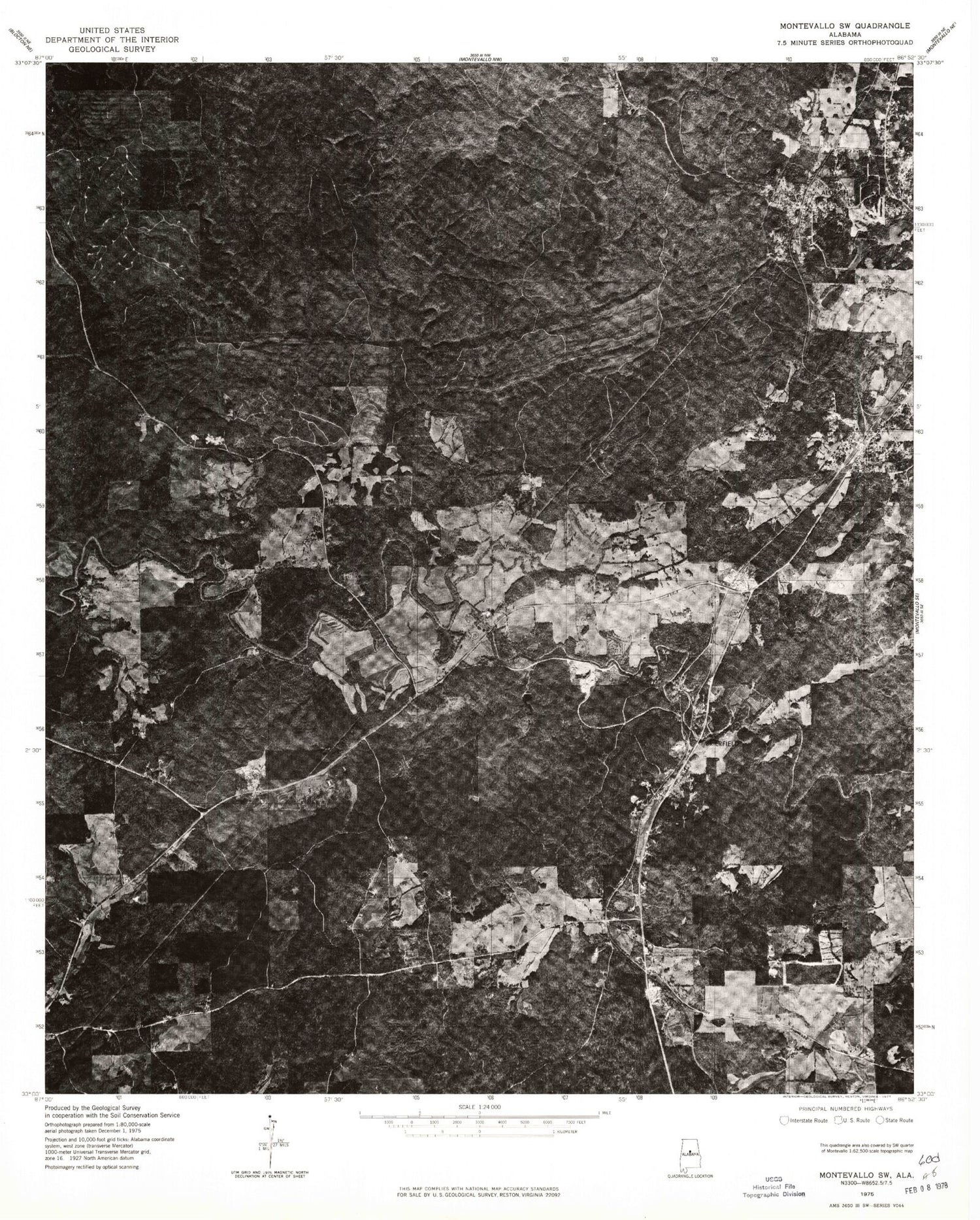
Historical USGS topographic quad map of Aldrich in the state of Alabama. Map scale may vary for some years, but is generally around 1:24,000. Print size is approximately 24" x 27"
This quadrangle is in the following counties: Bibb, Chilton, Shelby.
The map contains contour lines, roads, rivers, towns, and lakes. Printed on high-quality waterproof paper with UV fade-resistant inks, and shipped rolled.
Contains the following named places: Aldrich, Aldrich Church, Aldrich Mine, Almont, Ashby, Ashby Cemetery, Ashby Missionary Baptist Church, Bibb Furnace, Black Branch, Brierfield, Brierfield Baptist Church, Brierfield Cemetery, Brierfield Post Office, Brierfield Volunteer Fire and Rescue, Cahaba Valley Cemetery, Cahaba Valley Missionary Baptist Church, Cahaba Wildlife Management Area Headquarters, Carlton Hill Baptist Church, Carlton Hill Cemetery, Centry Springs, Chitopeni, College Lake, Community Baptist Church, Community Cemetery, Davis Falls, Dry Creek, Ebenezer Baptist Church, Ebenezer Cemetery, Epsibeth Church, Erharkers, Faith Church, Fitch Bridge, Fourmile Creek, Furnace Branch, Green Chapel Church, Jims Branch, Little Mayberry Creek, Mahan Creek, Mary Elizabeth Mine, Mayberry Creek, McGuire Ford, Moore Cemetery, Pilgrim Free Will Church, Pilgrims Rest Church, Piper-Coleanor Division, Rehobeth Church, Rock School, Shoal Creek, Six Mile Cemetery, Splawn Branch, Tapatuli, Town of Wilton, University of Montevallo Dam, University of Montevallo Lake, University of Montevallo Lake Dam, Walker Branch, Weaver Falls, Wilton, Wilton Post Office, Wooley Mine, ZIP Codes: 35035, 35187