MyTopo
Classic USGS Aledo NE Oklahoma 7.5'x7.5' Topo Map
Regular price
$16.95
Regular price
Sale price
$16.95
Unit price
per
Couldn't load pickup availability
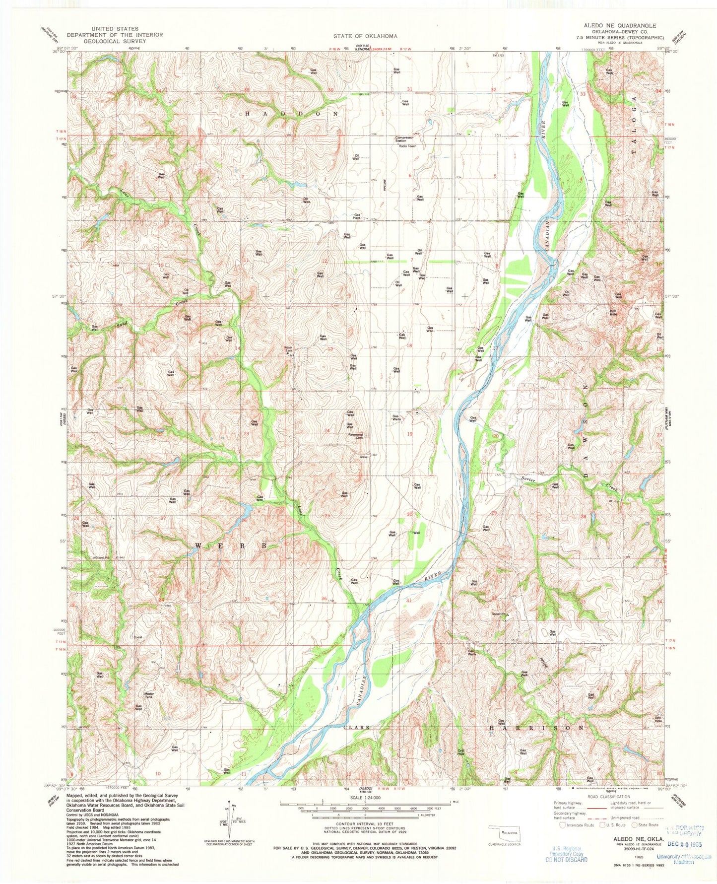
Historical USGS topographic quad map of Aledo NE in the state of Oklahoma. Map scale may vary for some years, but is generally around 1:24,000. Print size is approximately 24" x 27"
This quadrangle is in the following counties: Dewey.
The map contains contour lines, roads, rivers, towns, and lakes. Printed on high-quality waterproof paper with UV fade-resistant inks, and shipped rolled.
Contains the following named places: Chain Number 3 Dam, Chain Number 3 Reservoir, Chain Number 8 Dam, Chain Number 8 Reservoir, Collier Farms Airport, Dewey County, Lone Creek, Raymond Cemetery, Sand Creek, Sorter Creek, Taloga-Leedey Division