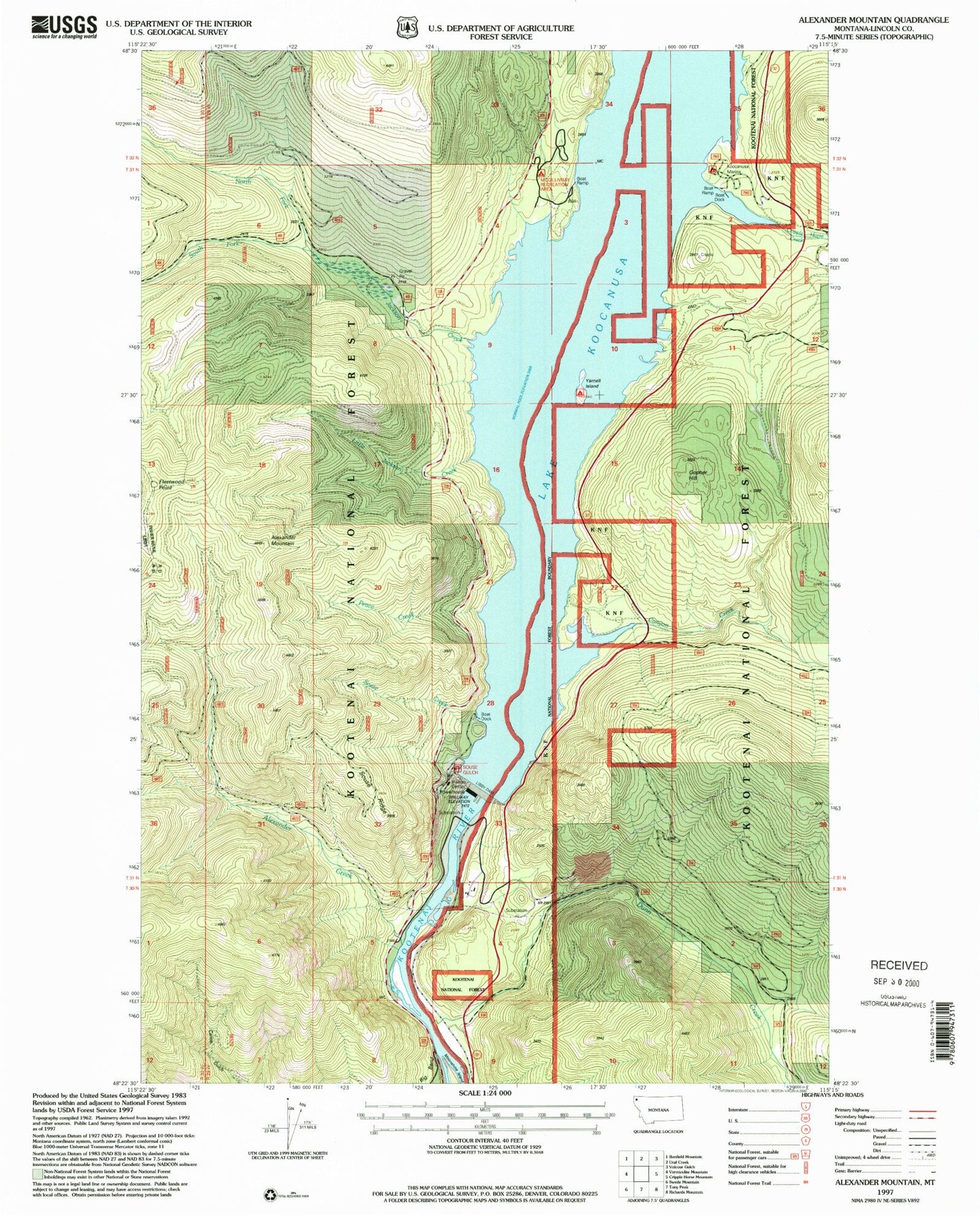
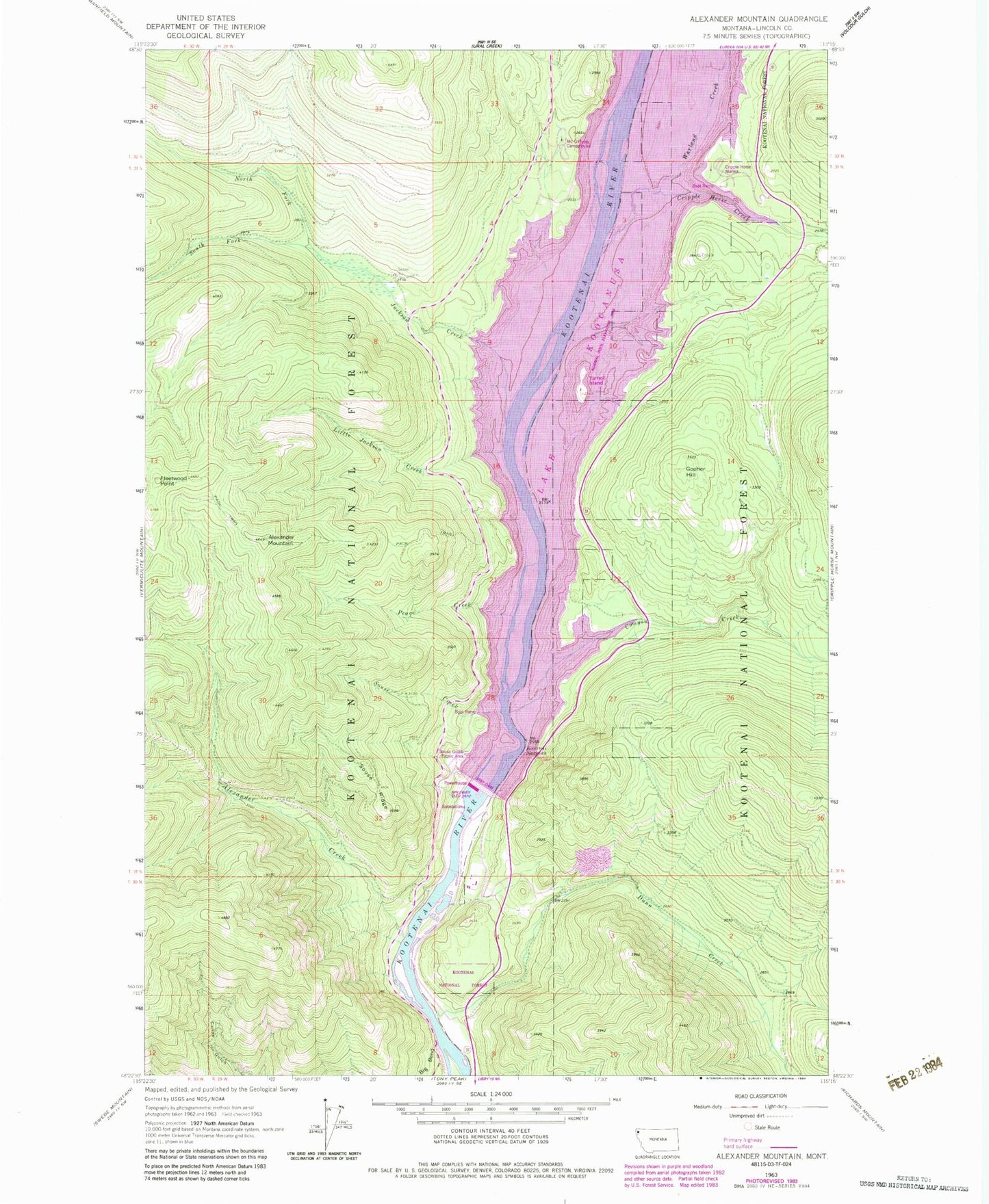
MyTopo
Classic USGS Alexander Mountain Montana 7.5'x7.5' Topo Map
Couldn't load pickup availability
Historical USGS topographic quad map of Alexander Mountain in the state of Montana. Map scale may vary for some years, but is generally around 1:24,000. Print size is approximately 24" x 27"
This quadrangle is in the following counties: Lincoln.
The map contains contour lines, roads, rivers, towns, and lakes. Printed on high-quality waterproof paper with UV fade-resistant inks, and shipped rolled.
Contains the following named places: Alexander Creek, Alexander Mountain, Canyon Creek, Cripple Horse Creek, Cripple Horse Marina, David Thompson Bridge, Dunn Creek, Dunn Creek Flats, Fleetwood Point, Gopher Hill, Hook-U-Up RV Park, Jackson Creek, Koocanusa Resort, Kootenai Narrows, Libby Dam, Libby Dam Visitor Center, Little Jackson Creek, McGillivray Campground, North Fork Jackson Creek, Peace Creek, Souse Creek, Souse Gulch Picnic Area, Souse Ridge, South Fork Jackson Creek, Warland Creek, Yarnell, Yarnell Island, Yarnell Island Campground