MyTopo
Classic USGS Alexander Idaho 7.5'x7.5' Topo Map
Couldn't load pickup availability
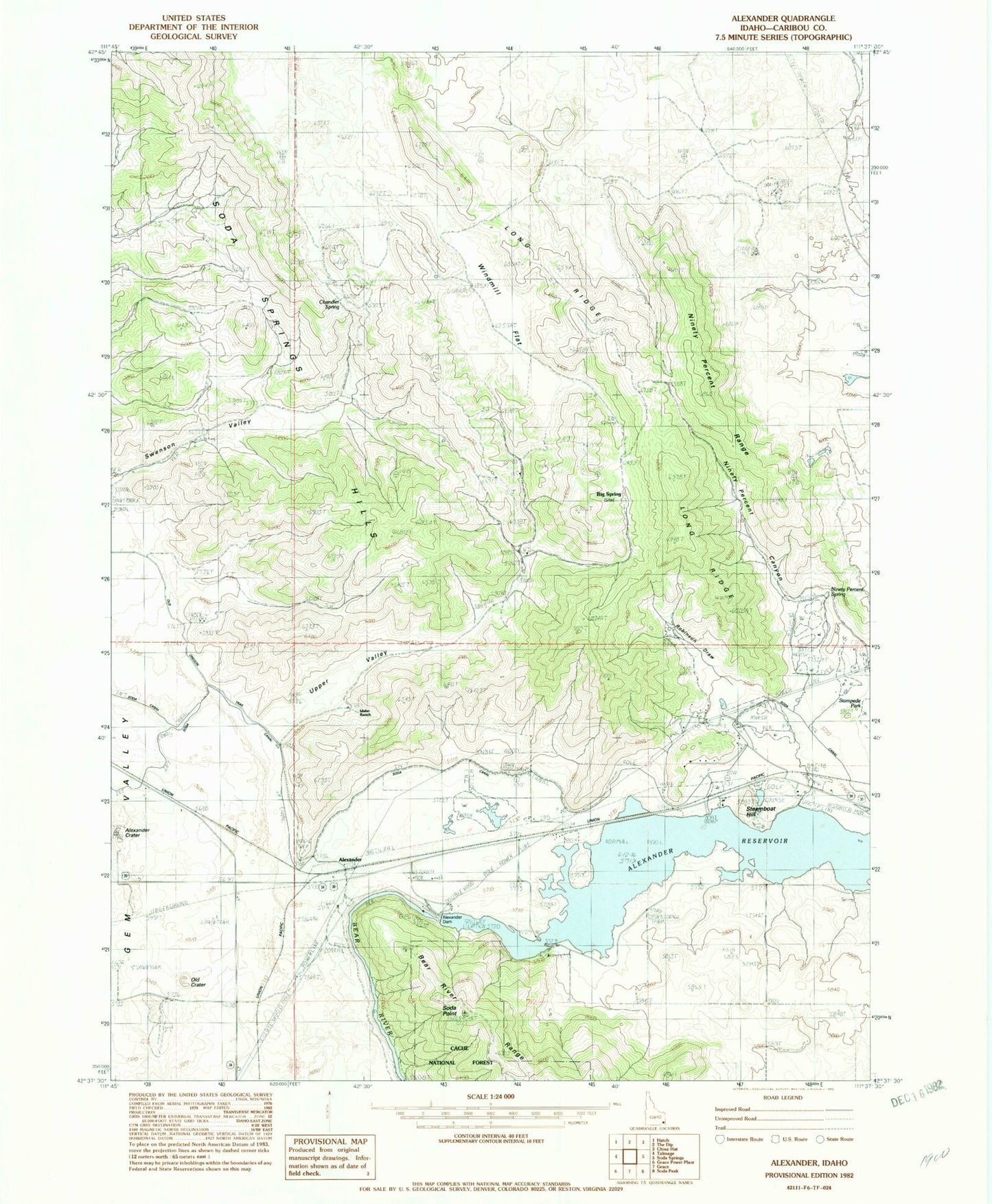
Historical USGS topographic quad map of Alexander in the state of Idaho. Map scale may vary for some years, but is generally around 1:24,000. Print size is approximately 24" x 27"
This quadrangle is in the following counties: Caribou.
The map contains contour lines, roads, rivers, towns, and lakes. Printed on high-quality waterproof paper with UV fade-resistant inks, and shipped rolled.
Contains the following named places: Alexander, Alexander Dam, Alexander Reservoir, Big Spring, Chandler Spring, Idaho Ranch, Long Ridge, Ninety Percent Canyon, Ninety Percent Range, Ninety Percent Spring, Robinson Draw, Soda Dam, Soda Point, Soda Springs Hills, Stampede Park, Steamboat Hill, Steamboat Spring, Swenson Valley, Upper Valley, Windmill Flat