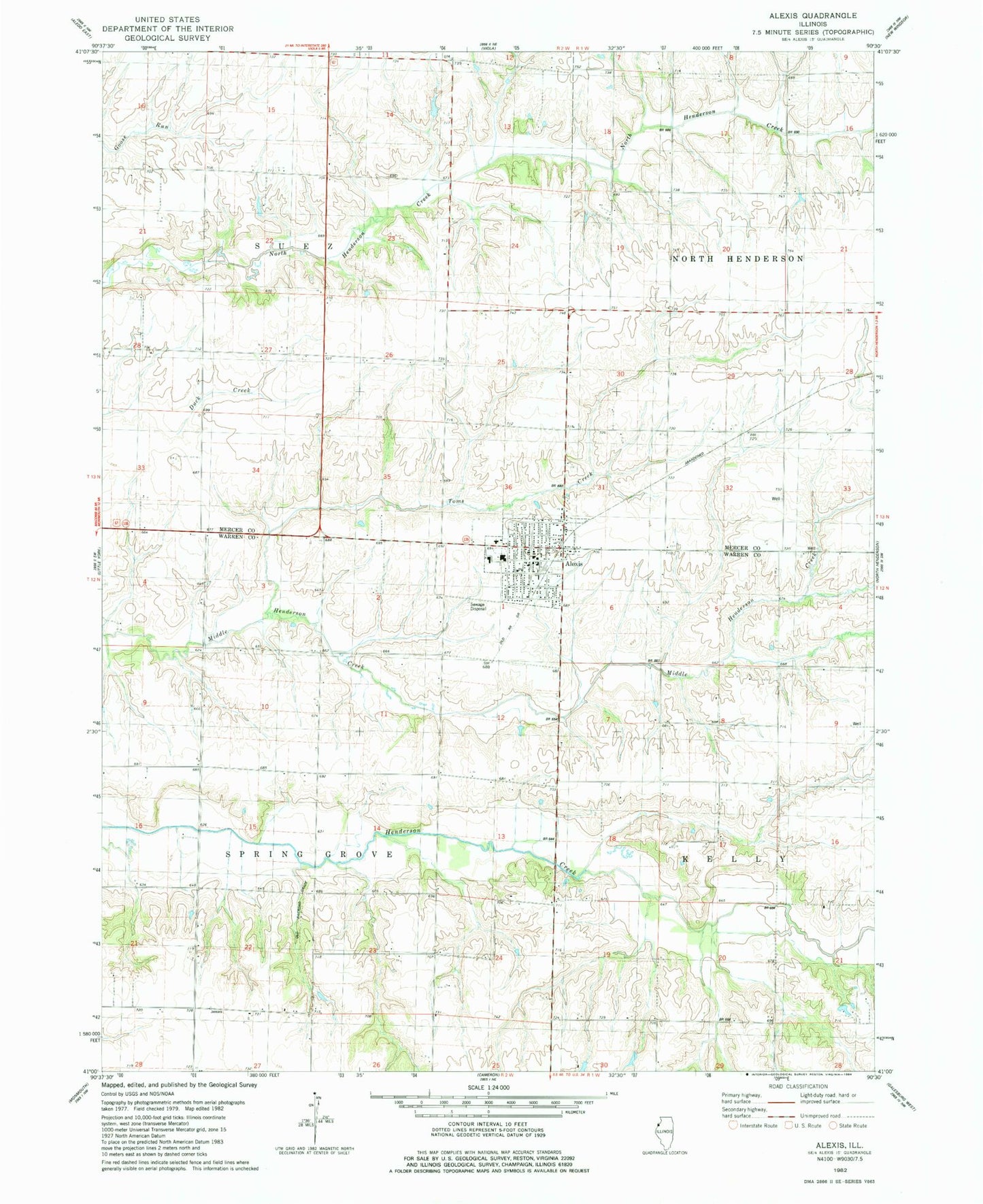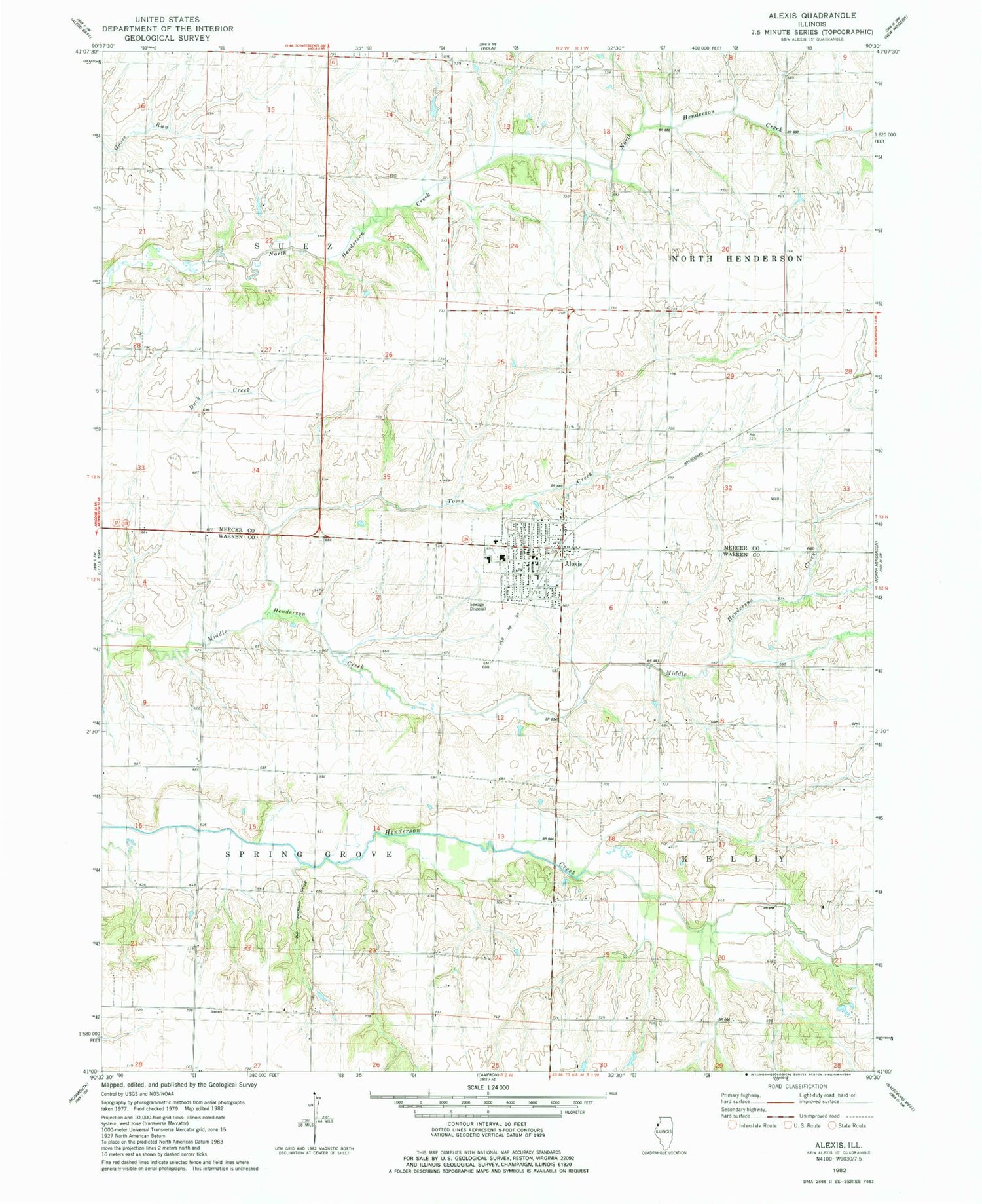
MyTopo
Classic USGS Alexis Illinois 7.5'x7.5' Topo Map
Couldn't load pickup availability
Historical USGS topographic quad map of Alexis in the state of Illinois. Map scale may vary for some years, but is generally around 1:24,000. Print size is approximately 24" x 27"
This quadrangle is in the following counties: Mercer, Warren.
The map contains contour lines, roads, rivers, towns, and lakes. Printed on high-quality waterproof paper with UV fade-resistant inks, and shipped rolled.
Contains the following named places: Alexis, Alexis Elementary School, Alexis Fire Protection District, Alexis High School, Alexis North Henderson Ambulance Service, Alexis Police Department, Alexis Post Office, Center School, Indian Grove School, Mohler School, Pioneer School, Pleasant Hill School, Republican School, Sedwick School, Shadyside School, Sunnyside School, Toms Creek, Township of Spring Grove, Township of Suez, Village of Alexis, ZIP Code: 61412