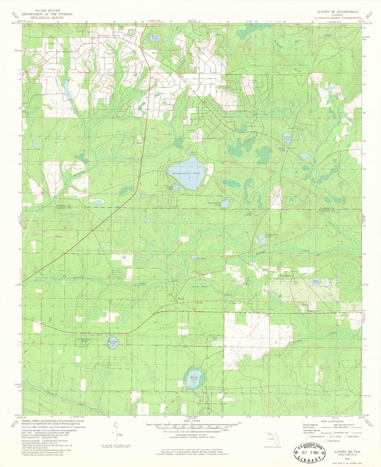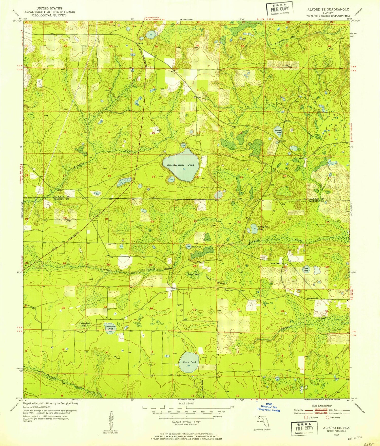
MyTopo
Classic USGS Alford SE Florida 7.5'x7.5' Topo Map
Couldn't load pickup availability
Historical USGS topographic quad map of Alford SE in the state of Florida. Map scale may vary for some years, but is generally around 1:24,000. Print size is approximately 24" x 27"
This quadrangle is in the following counties: Calhoun, Jackson.
The map contains contour lines, roads, rivers, towns, and lakes. Printed on high-quality waterproof paper with UV fade-resistant inks, and shipped rolled.
Contains the following named places: Adventist Church, Black Pond, Blue Pond, Briar Head, Camps Head Cemetery, Camps Head Church, Carmichael Head, Center Lake, Clear Pond, Compass Lake in the Hills Volunteer Fire Department, Jack Creek, Lake McKenzie, Mirrow Lake, Mossy Pond, Mossy Pond Volunteer Fire Department, Mulehead Pond, Open Pond, Pippen Cemetery, Pippin Branch, Porter Pond, Round Pond, Seventeenmile Pond, Turkey Pen Pond, Twin Sisters Pond