MyTopo
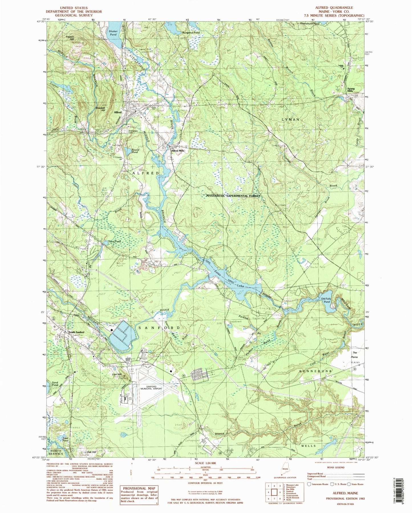
Classic USGS Alfred Maine 7.5'x7.5' Topo Map
Couldn't load pickup availability
Historical USGS topographic quad map of Alfred in the state of Maine. Typical map scale is 1:24,000, but may vary for certain years, if available. Print size: 24" x 27"
This quadrangle is in the following counties: York.
The map contains contour lines, roads, rivers, towns, and lakes. Printed on high-quality waterproof paper with UV fade-resistant inks, and shipped rolled.
Contains the following named places: Alfred, Alfred Mills, Brackett Hill, Cold Water Brook, Dog Brook, Estes Lake, Evergreen Cemetery, Hay Brook, Jagger Pond, Lion Hill, Littlefield River, Lords Brook, Middle Branch Mousam River, Oak Hill, Old Falls Pond, Perkins Marsh Brook, Round Pond, Shaker Pond, South Sanford, Springy Brook, Sunken Branch Brook, The Plains, Trafton Brook, Yeaton Hill, Spang Mills, York County, Sanford Speedway, Sanford Seacoast Regional Airport, Chi Heliport, Town of Alfred, Old Falls Dam, New Dam, Trafton Brook Dam, Trafton Brook, Alfred Elementary School, Alfred Historic District, Canes Brook, Lyman Elementary School, Massabesic Experimental Forest, North Alfred Baptist Church, Parsons Memorial Library, South Sanford Industrial Area, The Center for Shopping Shopping Center, Trout Pond, South Sanford Census Designated Place, Sanford Fire Department Airport Station, Alfred Fire Rescue Department, Kennebunk Fire and Rescue Blueberry Plains Station, Naval Auxiliary Air Station Sanford (historical), York County Sheriff's Office, Arundel Police Department, York County Jail, Davis - Getchell Cemetery, Emmons Cemetery, Jeremiah Drown Lot, Lewis Cemetery, Linscott Family Cemetery, John Fletcher Cemetery, Friend Family Cemetery, Furbish Family Cemetery, Gordon Lot, Bickford Morse Lot, Parish Congregational Church Cemetery, Nutter Family Cemetery, Roberts Cemetery, York County Law Library, Alfred Census Designated Place, Alfred Post Office


