
MyTopo
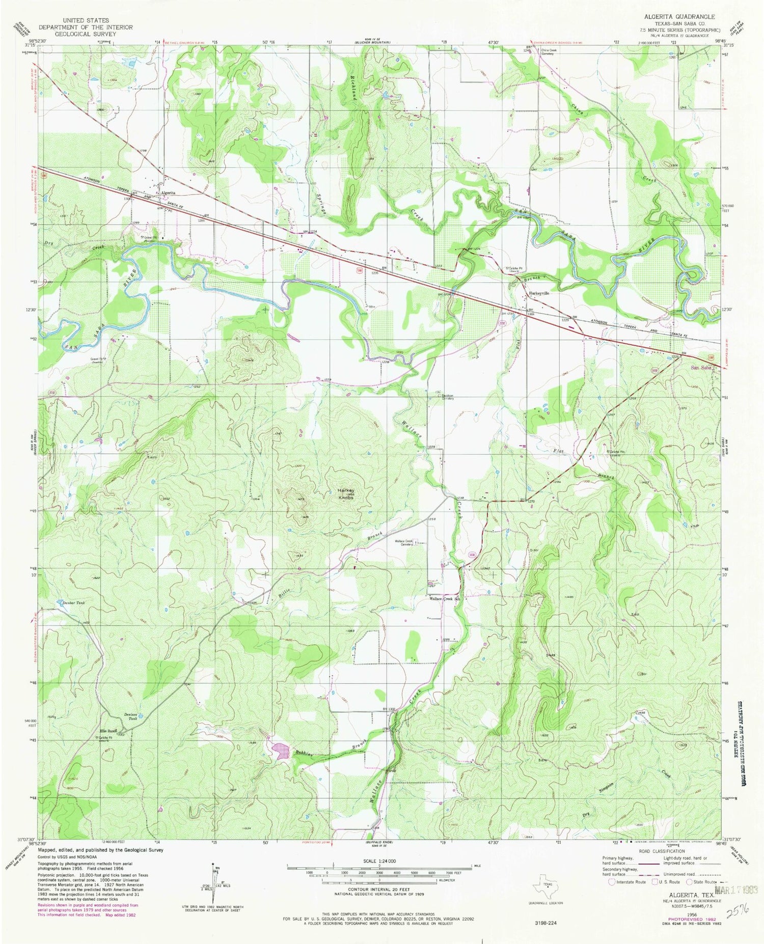
Classic USGS Algerita Texas 7.5'x7.5' Topo Map
Couldn't load pickup availability
Historical USGS topographic quad map of Algerita in the state of Texas. Map scale may vary for some years, but is generally around 1:24,000. Print size is approximately 24" x 27"
This quadrangle is in the following counties: San Saba.
The map contains contour lines, roads, rivers, towns, and lakes. Printed on high-quality waterproof paper with UV fade-resistant inks, and shipped rolled.
Contains the following named places: Algerita, Billie Branch, China Creek, China Creek Cemetery, Davidson Cemetery, Denison Tank, Dry Creek, Dunbar Tank, Ellis Ranch, Flat Branch, Harkey Knobs, Harkeyville, Richland Springs Creek, Robbins Branch, San Saba County, Soil Conservation Service Site 15 Dam, Soil Conservation Service Site 15 Reservoir, Texas Department of Criminal Justice San Saba Transfer Facility, Wallace Creek, Wallace Creek Cemetery, Wallace Creek School, ZIP Code: 76877


