MyTopo
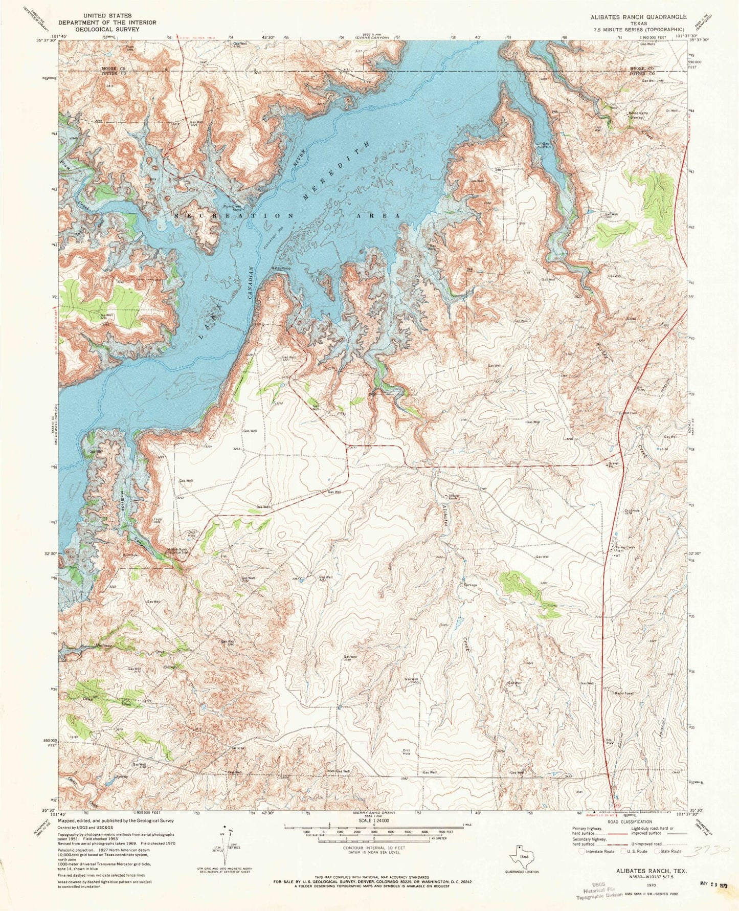
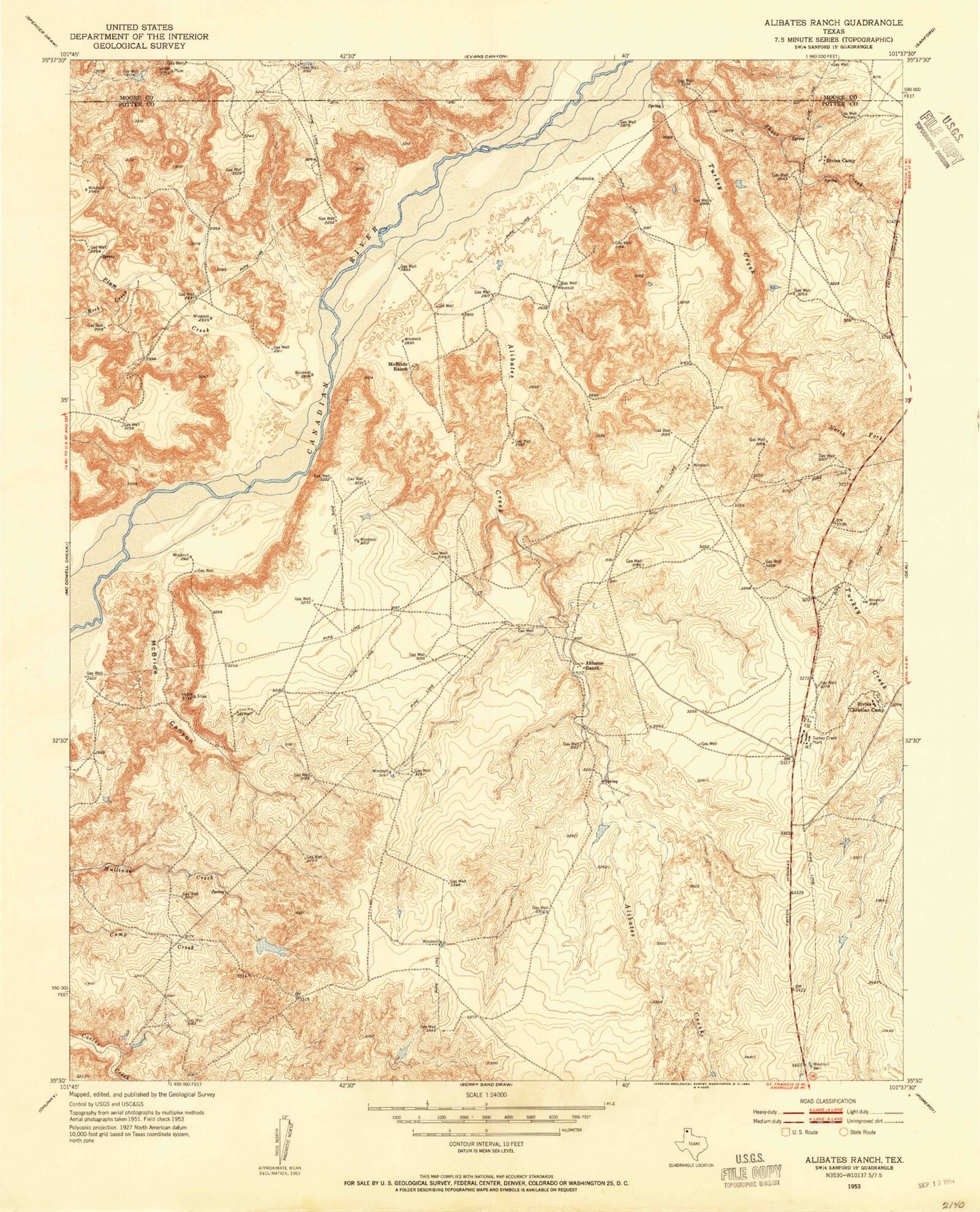
Classic USGS Alibates Ranch Texas 7.5'x7.5' Topo Map
Couldn't load pickup availability
Historical USGS topographic quad map of Alibates Ranch in the state of Texas. Typical map scale is 1:24,000, but may vary for certain years, if available. Print size: 24" x 27"
This quadrangle is in the following counties: Moore, Potter.
The map contains contour lines, roads, rivers, towns, and lakes. Printed on high-quality waterproof paper with UV fade-resistant inks, and shipped rolled.
Contains the following named places: Alibates Creek, Alibates Ranch, Bates Ramp, Bivins Camp, McBride Canyon, McBride Ranch Historical Site, North Fork Turkey Creek, Plum Creek, Plum Creek Ramp, Rock Creek, Turkey Creek, Turkey Creek Plant, Alibates Flint Quarries National Monument, Lake Meredith National Recreation Area, Coldwater Spring, Sanford Recreation Area