MyTopo
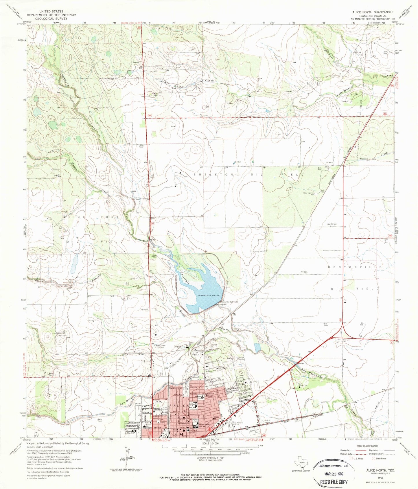
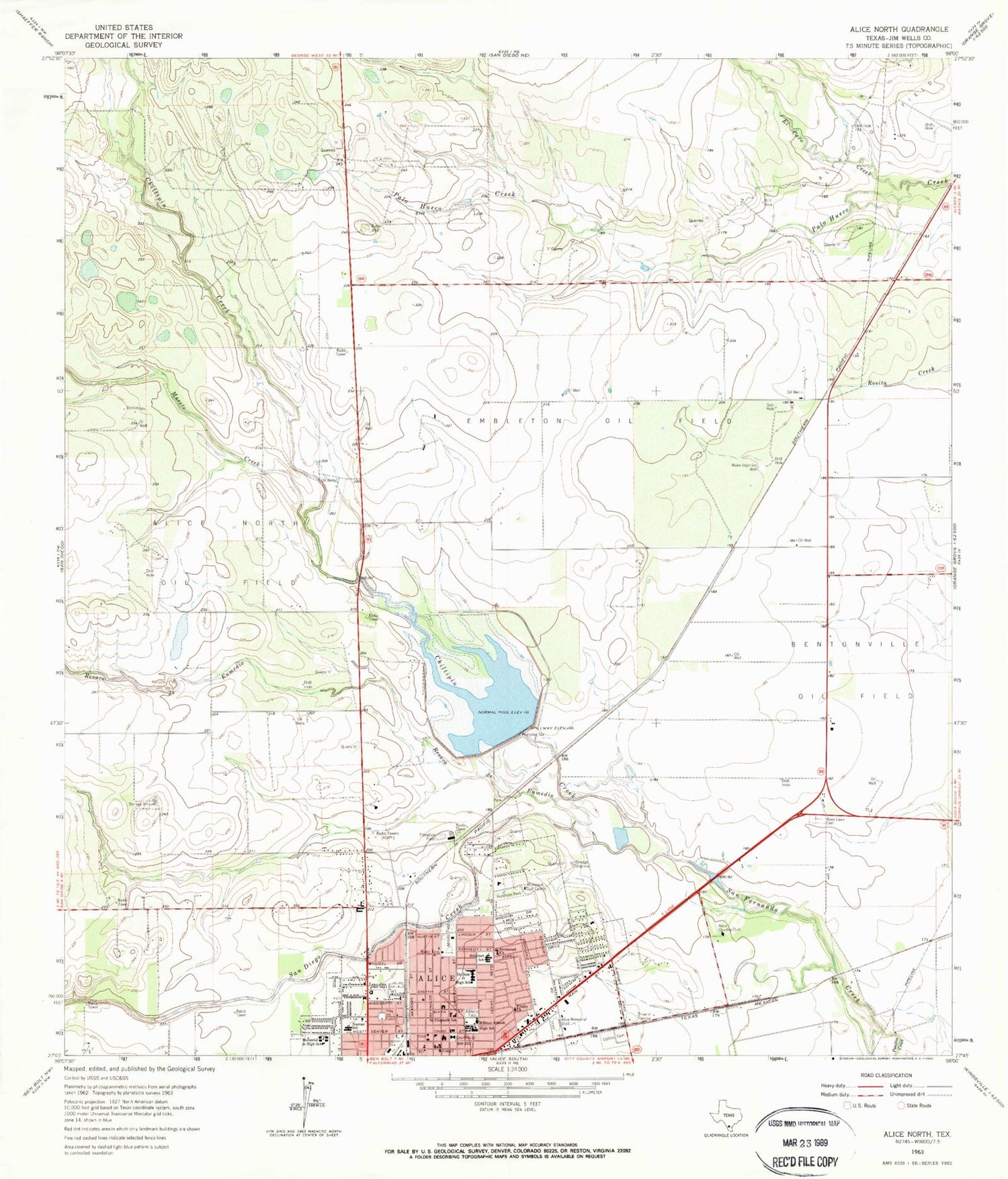
Classic USGS Alice North Texas 7.5'x7.5' Topo Map
Couldn't load pickup availability
Historical USGS topographic quad map of Alice North in the state of Texas. Map scale may vary for some years, but is generally around 1:24,000. Print size is approximately 24" x 27"
This quadrangle is in the following counties: Jim Wells.
The map contains contour lines, roads, rivers, towns, and lakes. Printed on high-quality waterproof paper with UV fade-resistant inks, and shipped rolled.
Contains the following named places: Adams Middle School, Alice, Alice Christian School, Alice Country Club, Alice Fire Department, Alice High School, Alice Memorial Stadium, Alice North Oil Field, Alice Police Department, Alice Post Office, Anderson Park, Bentonville Oil Field, Chiltipin Creek, CHRISTUS Spohn Hospital - Alice, Christus Spohn Hospital Laviana Plaza, Church of Christ, City of Alice, Collins Cemetery, Cornerstone Baptist Church, Del Norte Mobile Home Park Colonia, Du Bose Middle School, Dubose Intermediate School, El Caro Creek, Embleton Oil Field, Episcopal Church of Advent, Grace Baptist Church, Hillcrest Elementary School, Hollow Tree Estates Colonia, Howell Addition Colonia, Immanuel Church, Immanuel Lutheran Church, Jim Wells County Sheriff's Office, KBIC-FM (Alice), KDSI-AM (Alice), Kiesling's Colonia, KOPY-FM (Alice), Lake Alice, Lake Alice Dam, Lake Alice Park, Liberty Emergency Medical Services, Memorial Intermediate School, Muerto Creek, Noonan Elementary School, Noonan School, Plaza del Fuente, Resaca de Enmedio, Rose Lawn Cemetery, Saint Elizabeth School, San Diego Creek, Schallert Elementary School, Soil Conservation Service Site 5 Dam, Soil Conservation Service Site 5 Reservoir, The Church of Jesus Christ of Latter Day Saints, Trinity Church, William Adams High School


