MyTopo
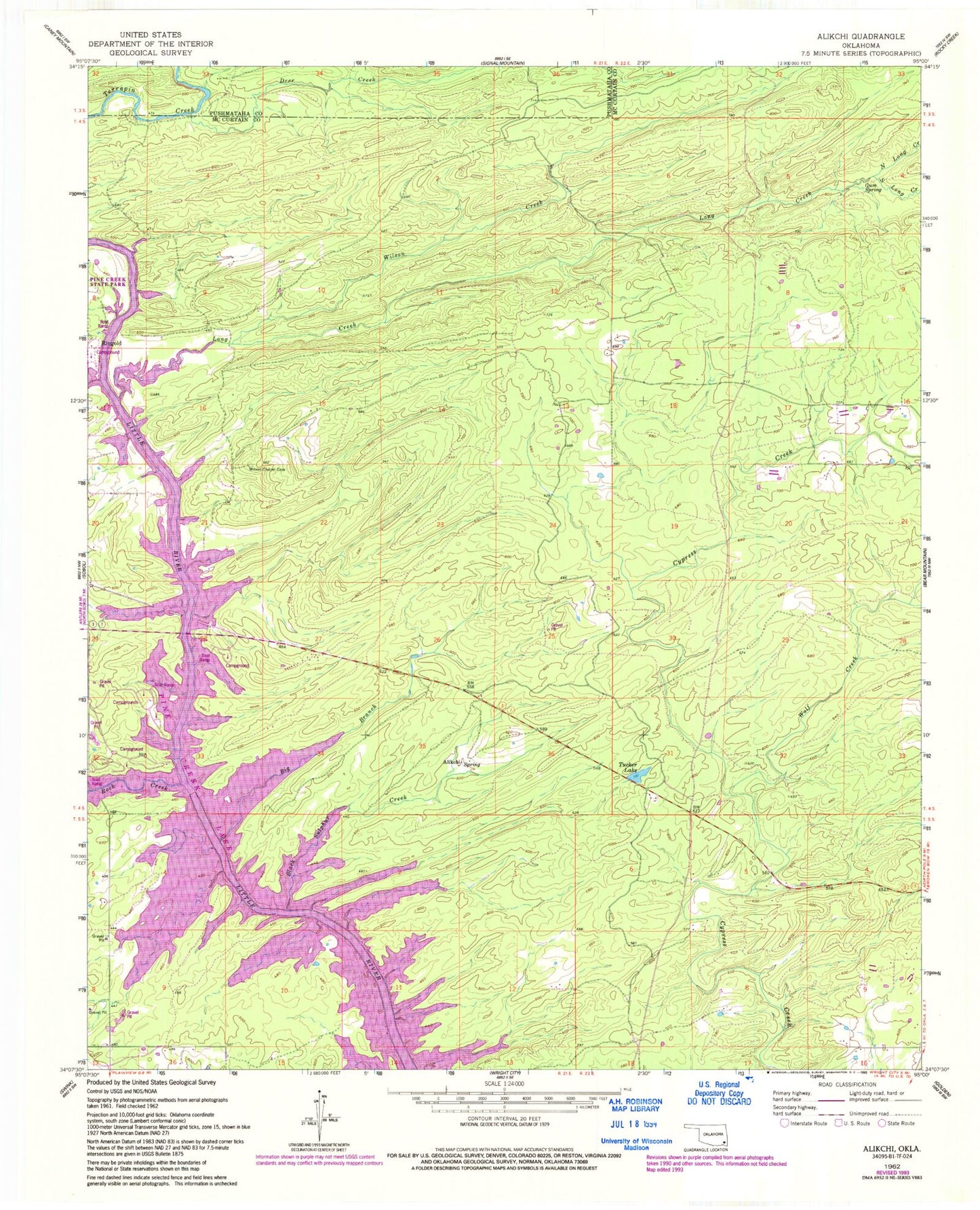
Classic USGS Alikchi Oklahoma 7.5'x7.5' Topo Map
Couldn't load pickup availability
Historical USGS topographic quad map of Alikchi in the state of Oklahoma. Map scale may vary for some years, but is generally around 1:24,000. Print size is approximately 24" x 27"
This quadrangle is in the following counties: McCurtain, Pushmataha.
The map contains contour lines, roads, rivers, towns, and lakes. Printed on high-quality waterproof paper with UV fade-resistant inks, and shipped rolled.
Contains the following named places: Alikchi, Big Branch, Black Sulphur Creek, Deer Creek, Gum Spring, Little Wolf Creek, Long Creek, North Long Creek, Ringold Post Office, Ringold Volunteer Fire Department, Rock Creek, South Long Creek, Tucker Lake, Wilson Chapel Cemetery, Wilson Creek, Wolf Creek, Wright City Division, ZIP Code: 74755