MyTopo
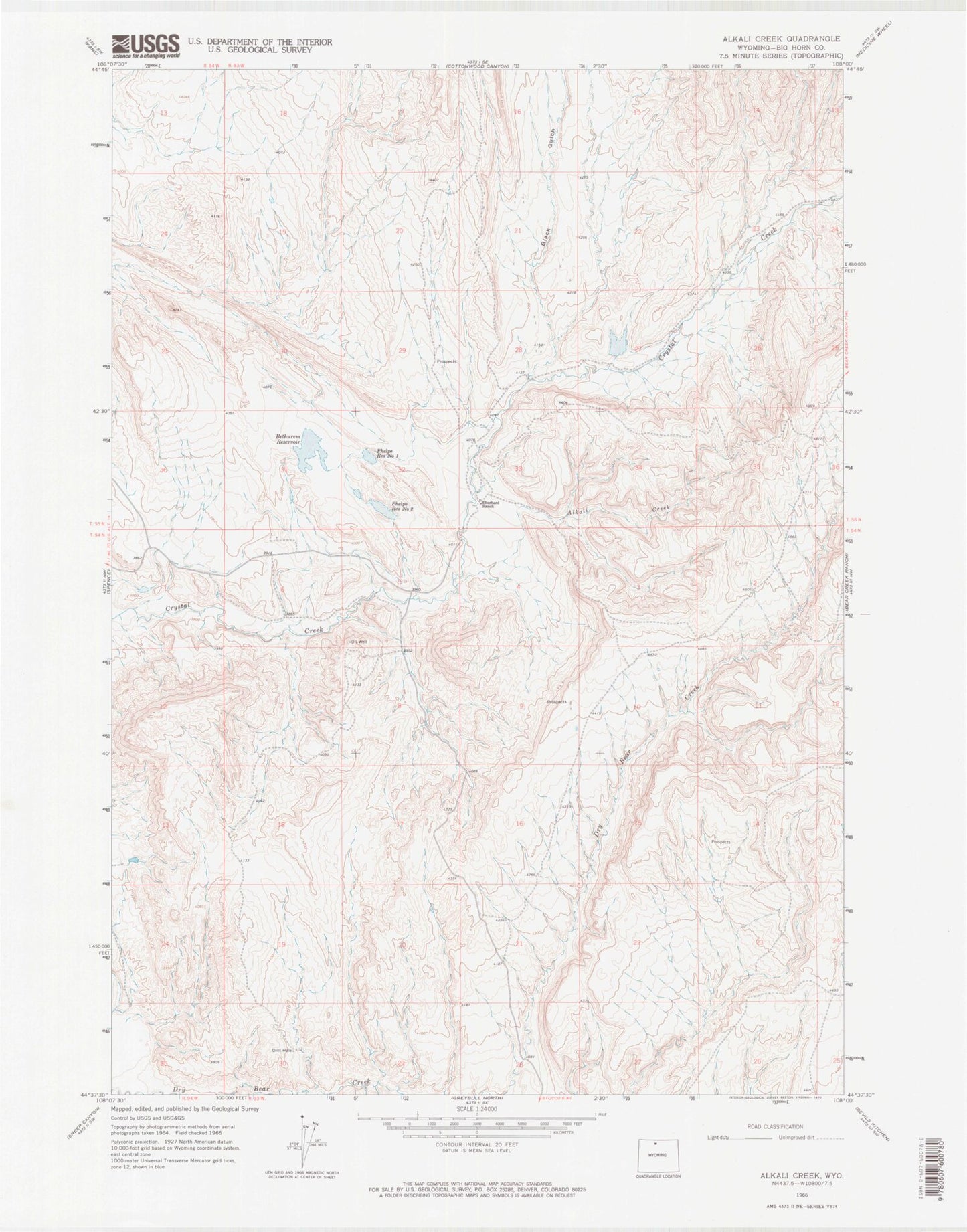
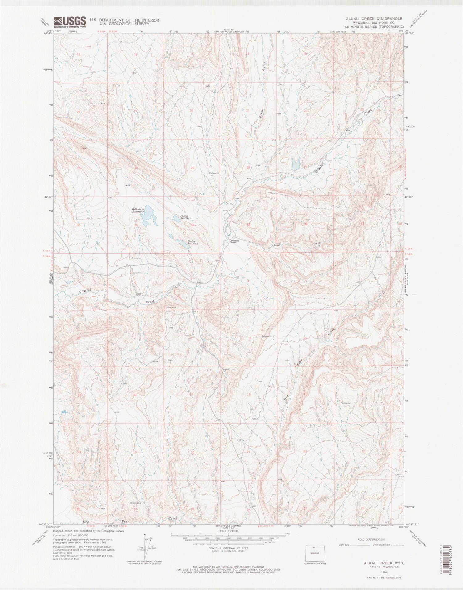
Classic USGS Alkali Creek Wyoming 7.5'x7.5' Topo Map
Couldn't load pickup availability
Historical USGS topographic quad map of Alkali Creek in the state of Wyoming. Map scale may vary for some years, but is generally around 1:24,000. Print size is approximately 24" x 27"
This quadrangle is in the following counties: Big Horn.
The map contains contour lines, roads, rivers, towns, and lakes. Printed on high-quality waterproof paper with UV fade-resistant inks, and shipped rolled.
Contains the following named places: Alkali Creek, Bear Creek Number One Mine, Bethurem Dam, Bethurem Reservoir, Black Gulch, Brown Number 1 Dam, Brown Number 1 Reservoir, Brown Number 2 Dam, Brown Number 2 Reservoir, Dry Bear Creek, Eberhard Number 1 Dam, Eberhard Number 1 Reservoir, Phelps Reservoir Number 1, Phelps Reservoir Number 2