MyTopo
Classic USGS Alkali Lake Montana 7.5'x7.5' Topo Map
Couldn't load pickup availability
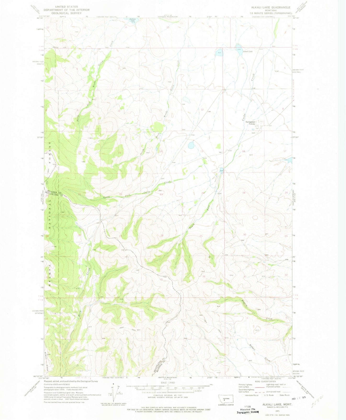
Historical USGS topographic quad map of Alkali Lake in the state of Montana. Map scale may vary for some years, but is generally around 1:24,000. Print size is approximately 24" x 27"
This quadrangle is in the following counties: Broadwater, Meagher.
The map contains contour lines, roads, rivers, towns, and lakes. Printed on high-quality waterproof paper with UV fade-resistant inks, and shipped rolled.
Contains the following named places: 08N06E07DD__01 Well, Alkali Lake, Jackson Lake, Jackson Lake Dam, Manger, North Fork Cooks Creek, O Connor, Onion Head Dam, Screwed Up Dam, Shindahl, South Fork Cooks Creek, Springdale Colony, Springdale Colony Census Designated Place, Springdale Colony Dam, Springdale Colony School, Springdale Dam, Springdale Number 2 Dam, Springdale Number 3 Dam, Springdale Number 4 Dam, Unity Post Office, Unity School