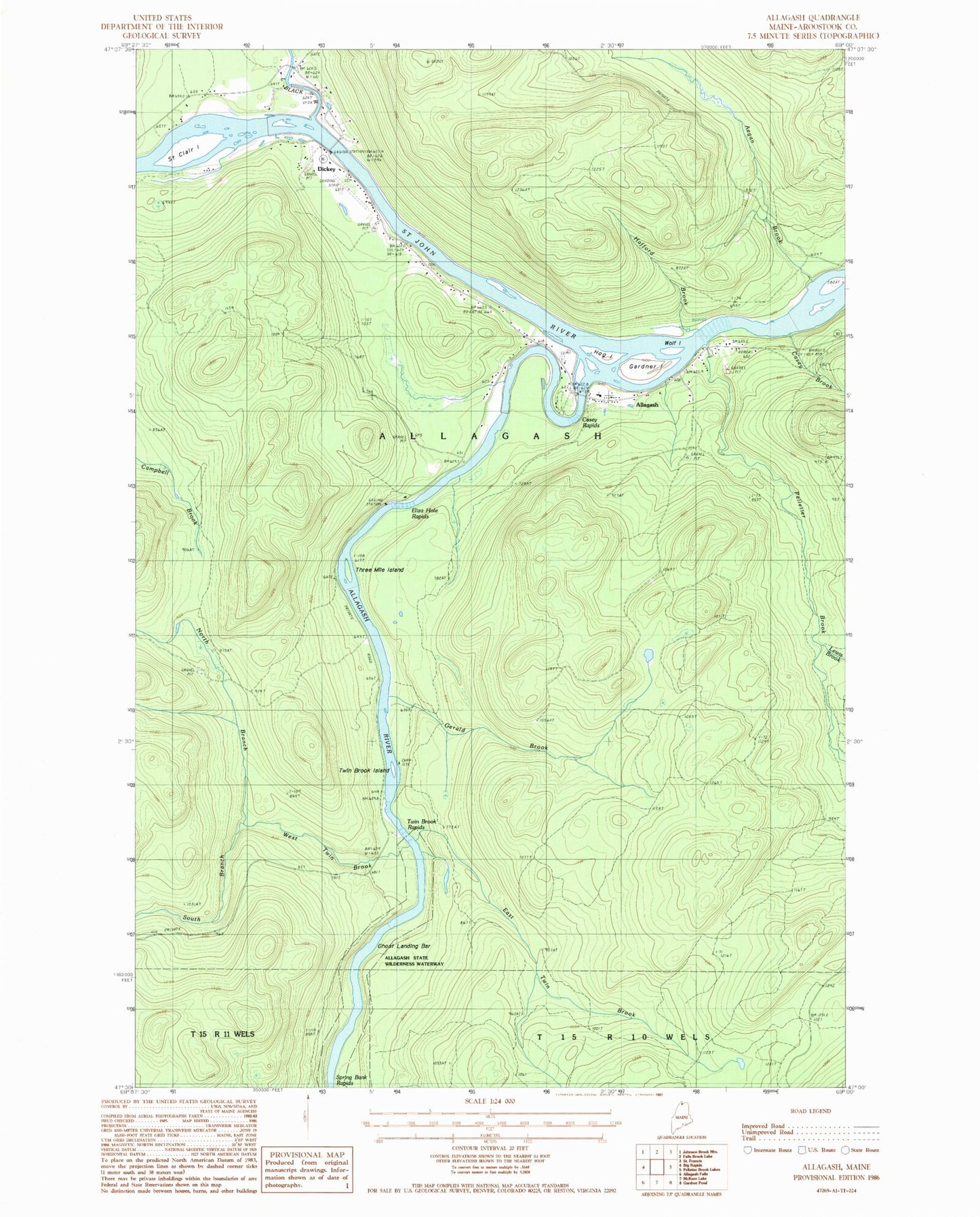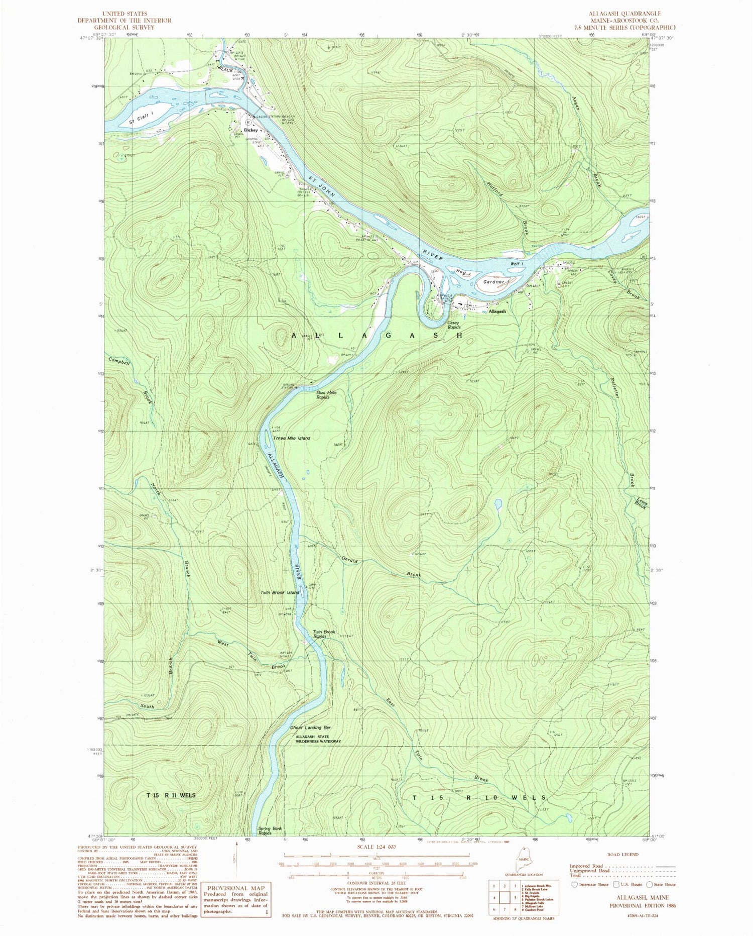
MyTopo
Classic USGS Allagash Maine 7.5'x7.5' Topo Map
Couldn't load pickup availability
Historical USGS topographic quad map of Allagash in the state of Maine. Typical map scale is 1:24,000, but may vary for certain years, if available. Print size: 24" x 27"
This quadrangle is in the following counties: Aroostook.
The map contains contour lines, roads, rivers, towns, and lakes. Printed on high-quality waterproof paper with UV fade-resistant inks, and shipped rolled.
Contains the following named places: Aegan Brook, Allagash Inn, Allagash River, Casey Rapids, Depot Bar, East Twin Brook, Eliza Hole Rapids, Gardner Island, Gerald Brook, Ghost Landing Bar, Hafford Brook, Kelly School, Lindberg School, Little Black River, North Branch West Twin Brook, Saint Clair Island, South Branch West Twin Brook, Three Mile Island, Twin Brook, Twin Brook Rapids, West Twin Brook, Wolf Island, Dickey, Casey Brook, Lewis Brook, Pelletier Brook, Allagash, Town of Allagash, Allagash Consolidated School, Allagash Municipal Cemetery, Allagash Fire Department, Saint Paul Catholic Cemetery, Faye O'Leary Hafford Library, Hog Island