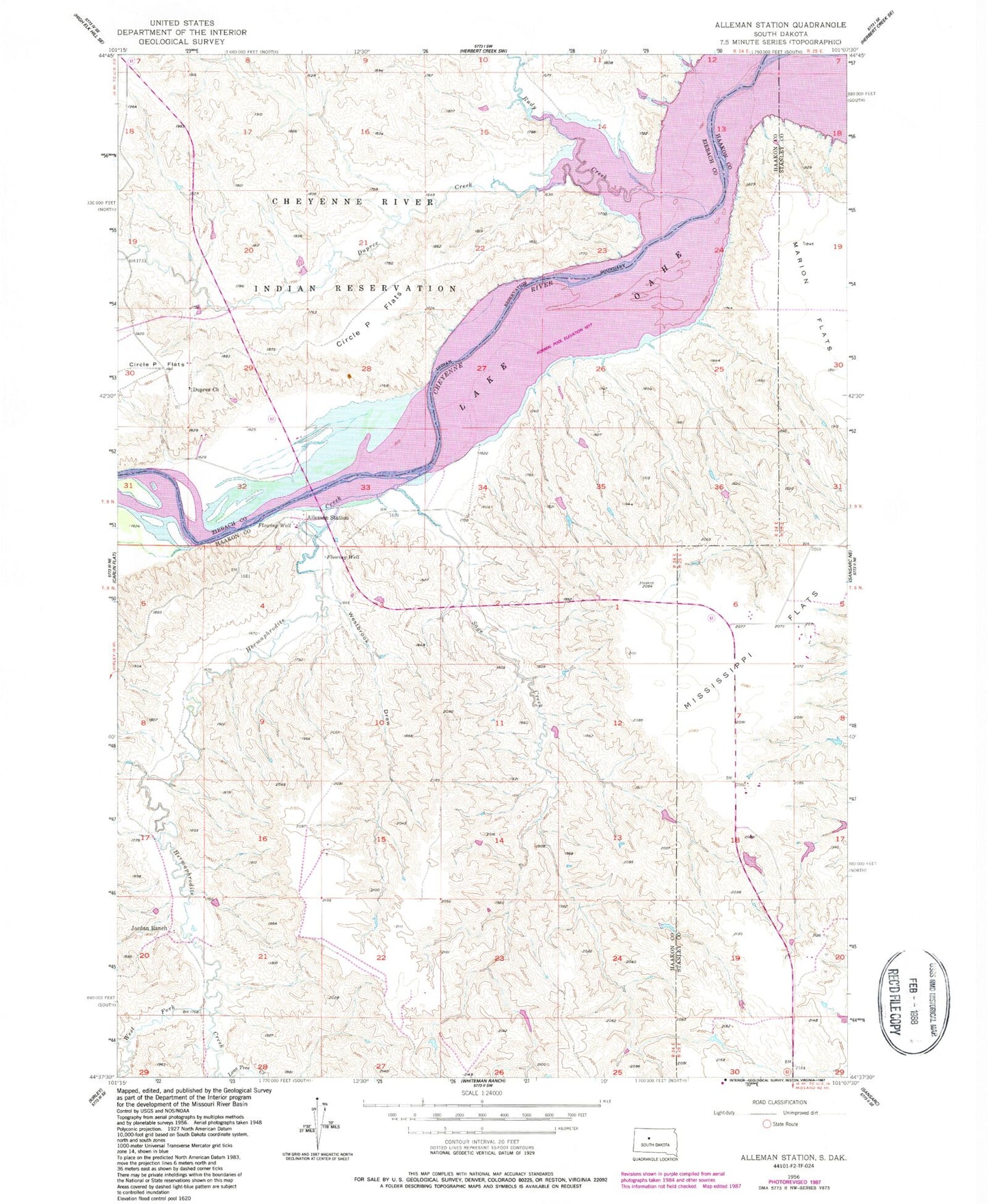
MyTopo
Classic USGS Alleman Station South Dakota 7.5'x7.5' Topo Map
Couldn't load pickup availability
Historical USGS topographic quad map of Alleman Station in the state of South Dakota. Map scale may vary for some years, but is generally around 1:24,000. Print size is approximately 24" x 27"
This quadrangle is in the following counties: Dewey, Haakon, Stanley, Ziebach.
The map contains contour lines, roads, rivers, towns, and lakes. Printed on high-quality waterproof paper with UV fade-resistant inks, and shipped rolled.
Contains the following named places: Alleman Station, Carlin Bridge, Carr Ranch, Carr School, Circle P Flats, Dupree Church, Dupree Creek, Hermaphrodite Creek, Jordan Ranch, Mississippi Flats, Pearman Ranch, Rudy Creek, Sage Creek, Scarborough Airstrip, West Fork Hermaphrodite Creek, Westbrook Draw