
MyTopo
Classic USGS Allen Draw Wyoming 7.5'x7.5' Topo Map
Regular price
$16.95
Regular price
Sale price
$16.95
Unit price
per
Couldn't load pickup availability
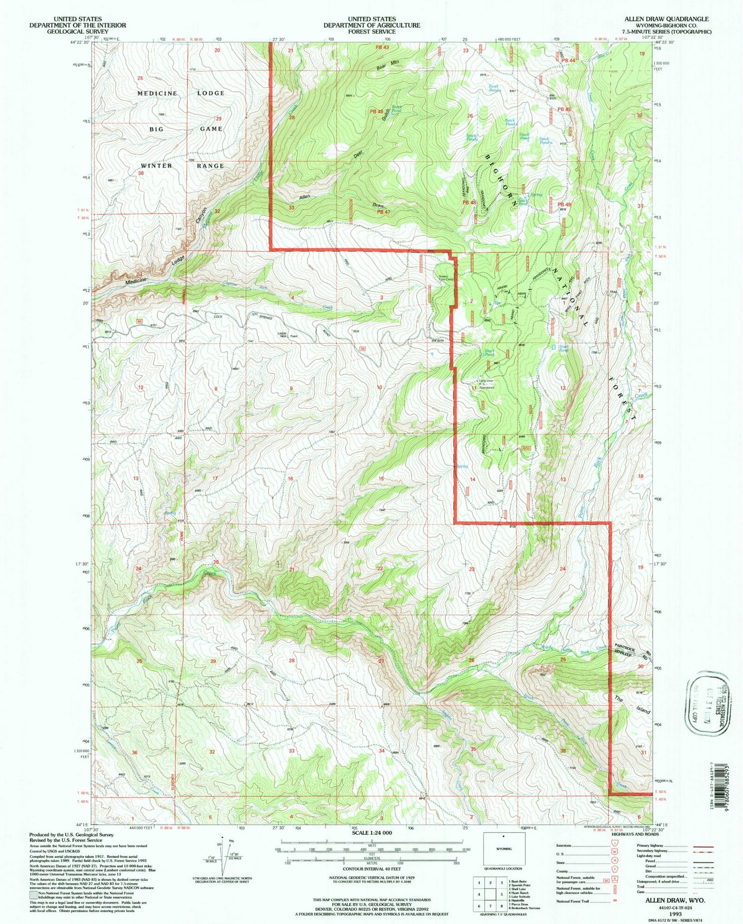
Historical USGS topographic quad map of Allen Draw in the state of Wyoming. Map scale may vary for some years, but is generally around 1:24,000. Print size is approximately 24" x 27"
This quadrangle is in the following counties: Big Horn.
The map contains contour lines, roads, rivers, towns, and lakes. Printed on high-quality waterproof paper with UV fade-resistant inks, and shipped rolled.
Contains the following named places: Allen Draw, Bear Mountain, Captain Jack Creek, Cold Springs Campground, Deer Gulch, Laddie Creek, Middle Paint Rock Creek, North Paint Rock Creek, Sheep Creek, South Paint Rock Creek, The Island, Trout Creek


