MyTopo
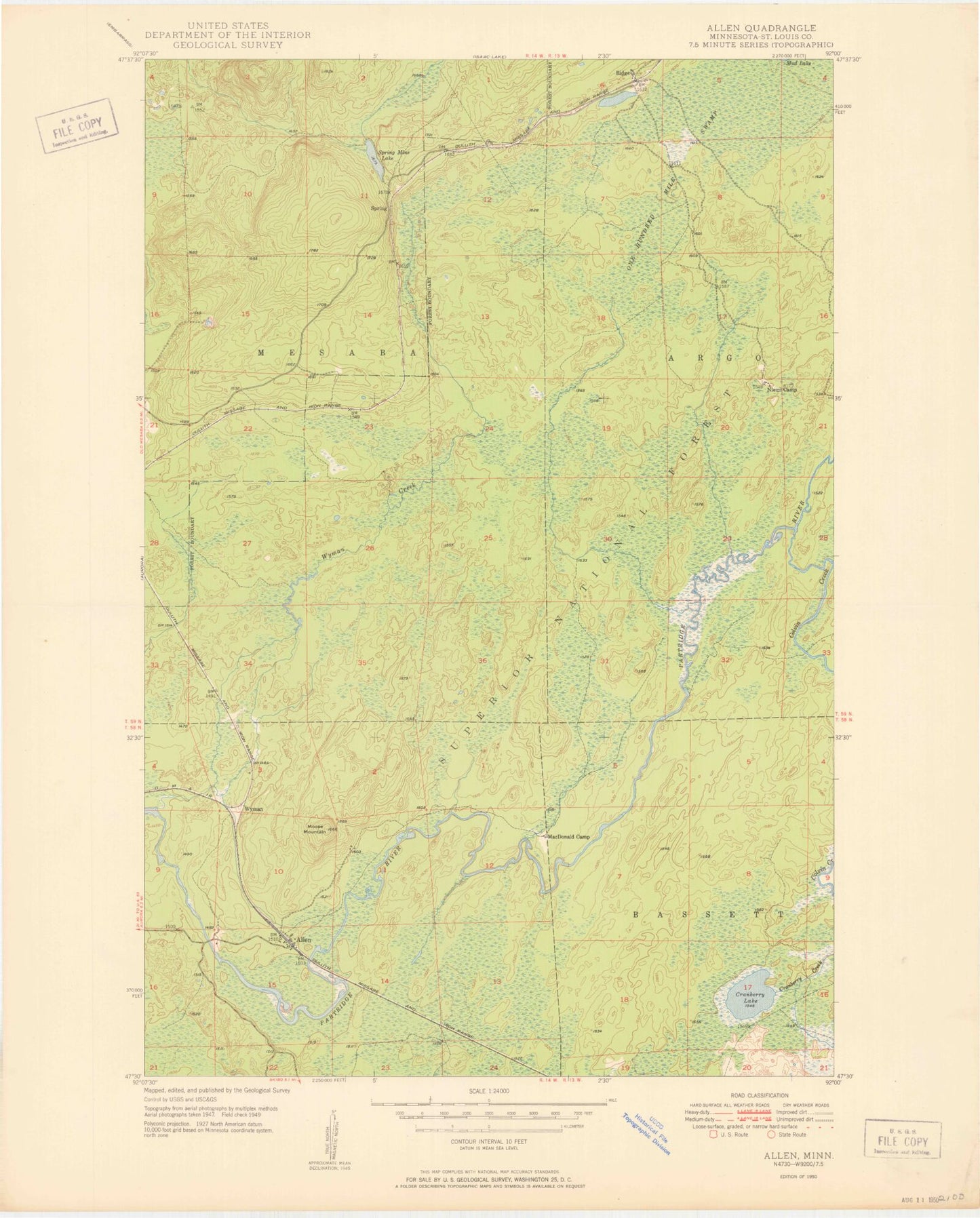
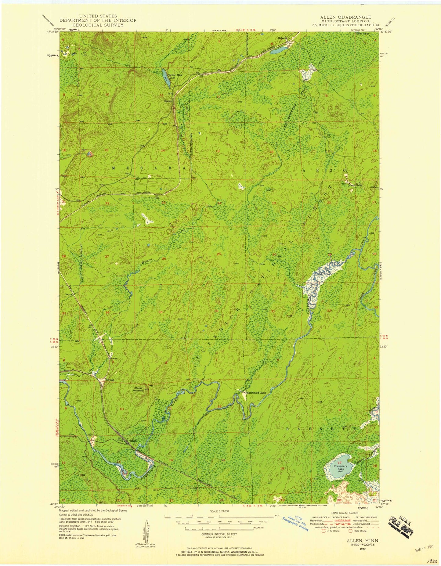
Classic USGS Allen Minnesota 7.5'x7.5' Topo Map
Couldn't load pickup availability
Historical USGS topographic quad map of Allen in the state of Minnesota. Map scale may vary for some years, but is generally around 1:24,000. Print size is approximately 24" x 27"
This quadrangle is in the following counties: St. Louis.
The map contains contour lines, roads, rivers, towns, and lakes. Printed on high-quality waterproof paper with UV fade-resistant inks, and shipped rolled.
Contains the following named places: Allen, Allen Post Office, Allen Station, City of Hoyt Lakes, Colvin Creek, Cranberry Lake, Erie Mine Number Two Pit, Holter Post Office, Hoyt Lakes Golf Course, Longnose Creek, MacDonald Camp, Moose Mountain, Niemi Camp, One Hundred Mile Swamp, Ridge, Spring Mine Lake, Wetlegs Creek, Wyman, Wyman Creek