MyTopo
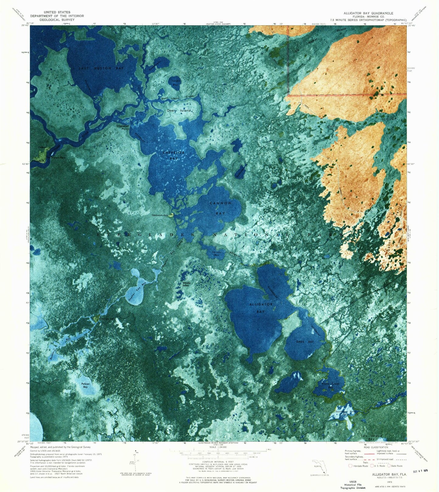
Classic USGS Alligator Bay Florida 7.5'x7.5' Topo Map
Couldn't load pickup availability
Historical USGS topographic quad map of Alligator Bay in the state of Florida. Map scale may vary for some years, but is generally around 1:24,000. Print size is approximately 24" x 27"
This quadrangle is in the following counties: Monroe.
The map contains contour lines, roads, rivers, towns, and lakes. Printed on high-quality waterproof paper with UV fade-resistant inks, and shipped rolled.
Contains the following named places: Alligator Bay, Alligator Creek, Cannon Bay, Casa Del Mar Light, Chatham, Chevelier Bay, Chevelier Point, Dads Bay, Deer Island, Deer Island Creek, Gator Bay Canal, Gopher Key, Gopher Key Bay, Gopher Key Creek, Huston Bay, Jungle Bay, Last Huston Bay, Lostmans Five Bay, Opossum Key, Pelican Bay, Plate Creek, Plate Creek Bay, Rookery Bay, Southwater, Sweetwater, Tarpon Bay, The Watson Place, Weeks Lakes, Wilderness Waterway