MyTopo
Classic USGS Alligator Hole Marsh Texas 7.5'x7.5' Topo Map
Regular price
$16.95
Regular price
Sale price
$16.95
Unit price
per
Couldn't load pickup availability
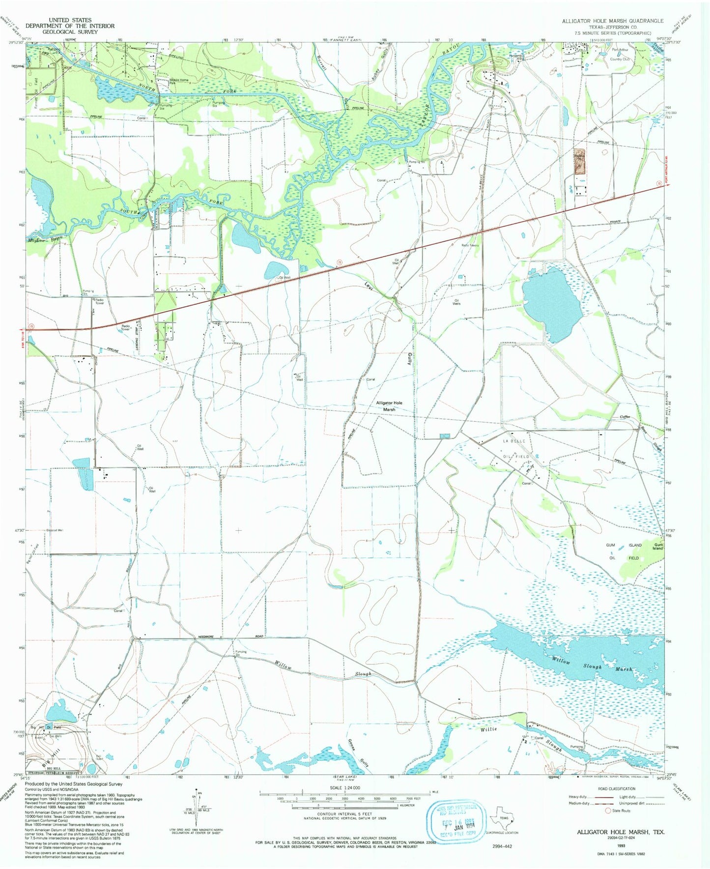
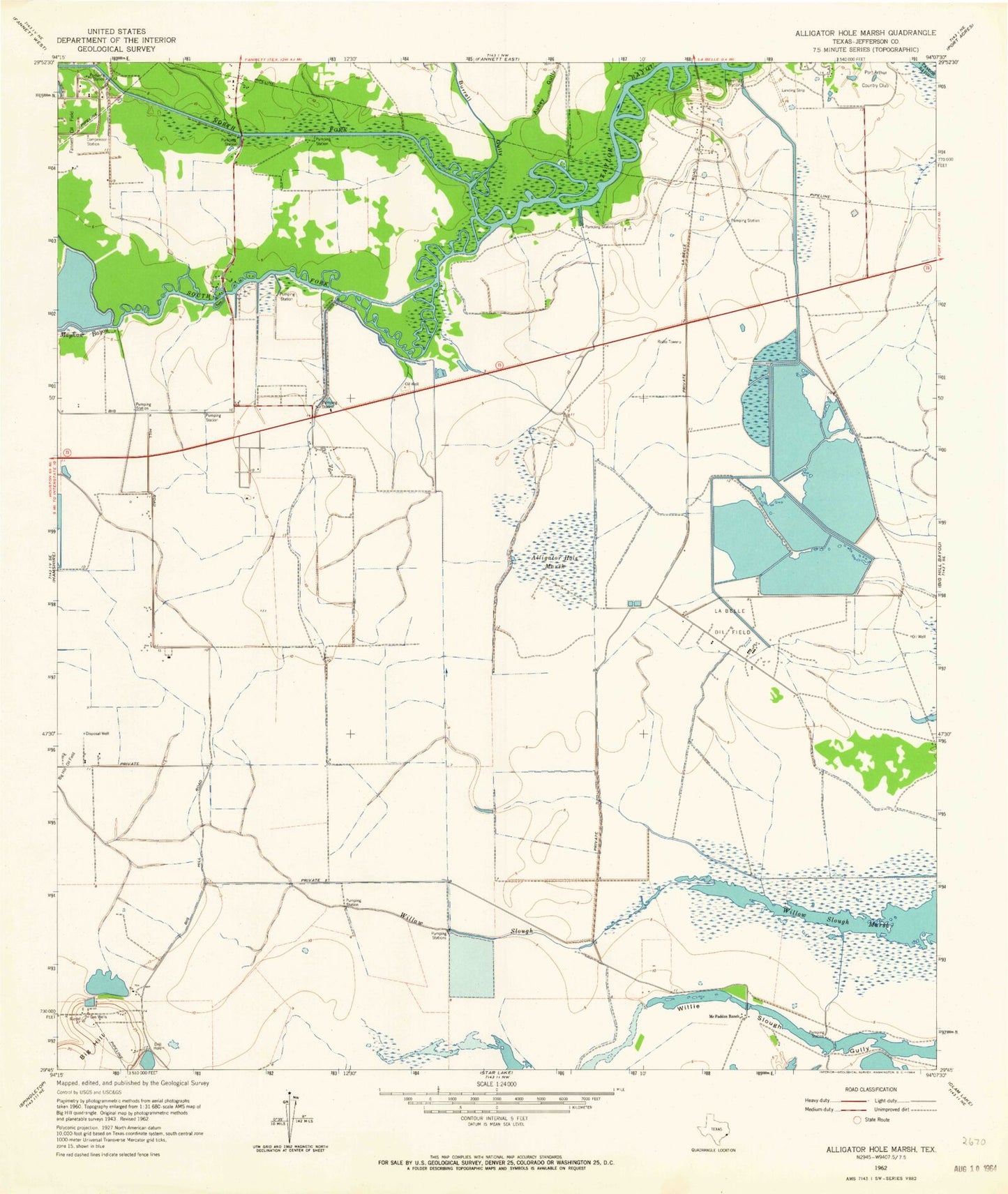
Historical USGS topographic quad map of Alligator Hole Marsh in the state of Texas. Map scale may vary for some years, but is generally around 1:24,000. Print size is approximately 24" x 27"
This quadrangle is in the following counties: Jefferson.
The map contains contour lines, roads, rivers, towns, and lakes. Printed on high-quality waterproof paper with UV fade-resistant inks, and shipped rolled.
Contains the following named places: Alligator Hole Marsh, Aubey Gully, Big Hill, Burrell Gully, City of Taylor Landing, Jefferson County, La Belle Oil Field, Mayhaw Bayou, McFadden Ranch, North Fork Taylor Bayou, South Fork Taylor Bayou, Taylor Landing, Willow Slough, Willow Slough Marsh