MyTopo
Classic USGS Alloway Creek Iowa 7.5'x7.5' Topo Map
Regular price
$16.95
Regular price
Sale price
$16.95
Unit price
per
Couldn't load pickup availability
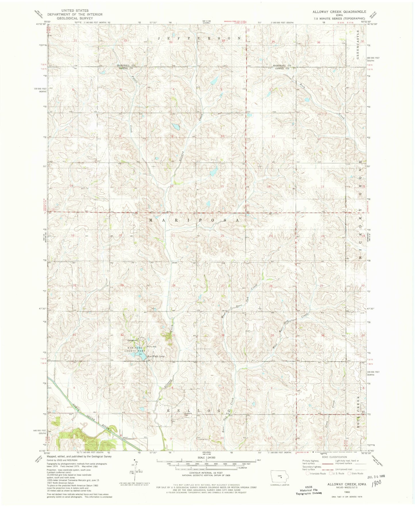
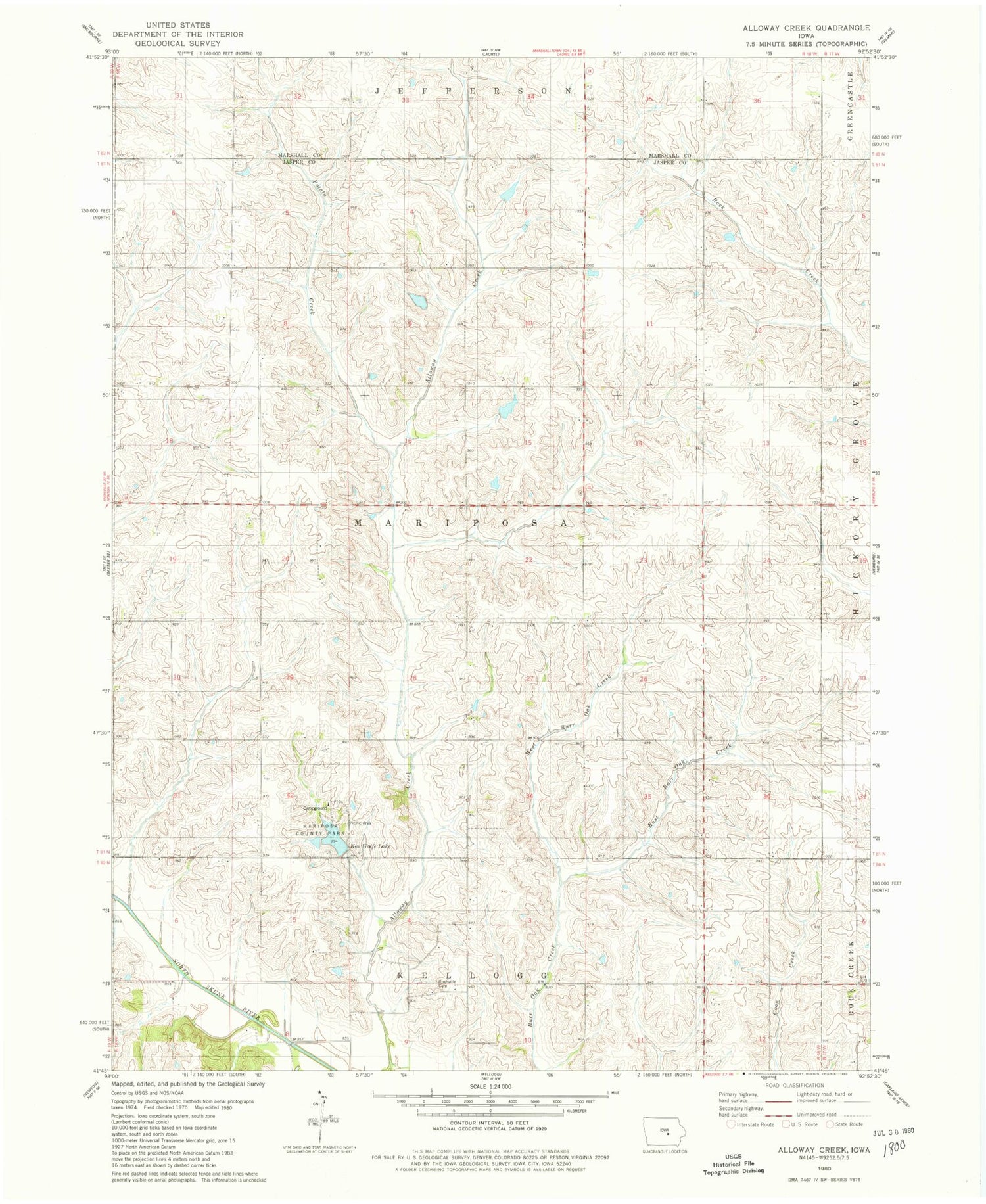
Historical USGS topographic quad map of Alloway Creek in the state of Iowa. Map scale may vary for some years, but is generally around 1:24,000. Print size is approximately 24" x 27"
This quadrangle is in the following counties: Jasper, Marshall.
The map contains contour lines, roads, rivers, towns, and lakes. Printed on high-quality waterproof paper with UV fade-resistant inks, and shipped rolled.
Contains the following named places: East Burr Oak Creek, German Society Methodist Cemetery, Ken Wolfe Lake, KZJB-TV (Newton), Mariposa County Park, Mystic Reservoir Dam, Potatoe Creek, Rushville, Rushville Cemetery, Township of Mariposa, West Burr Oak Creek, ZIP Codes: 50135, 50141