MyTopo
Classic USGS Alma South Michigan 7.5'x7.5' Topo Map
Couldn't load pickup availability
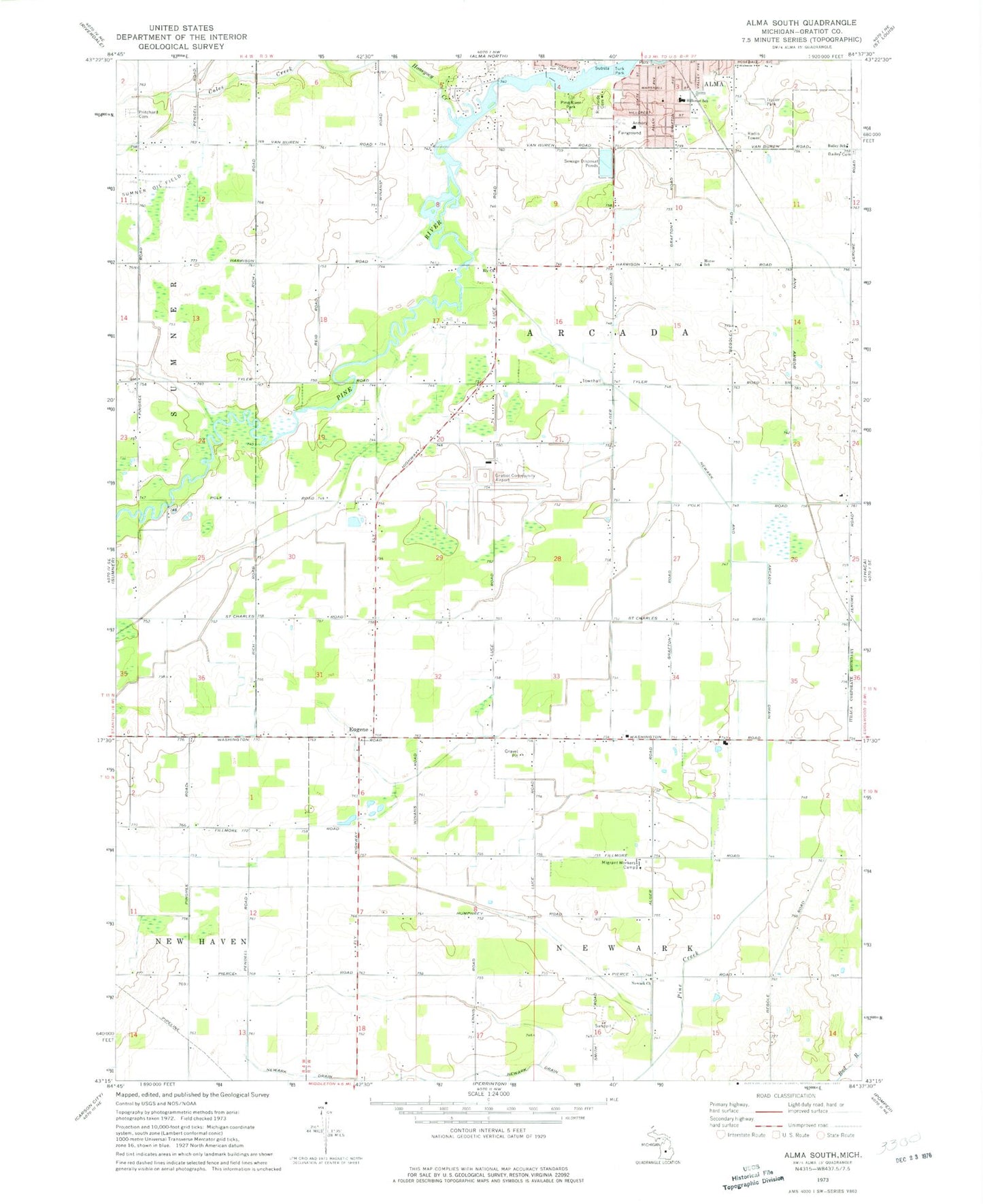
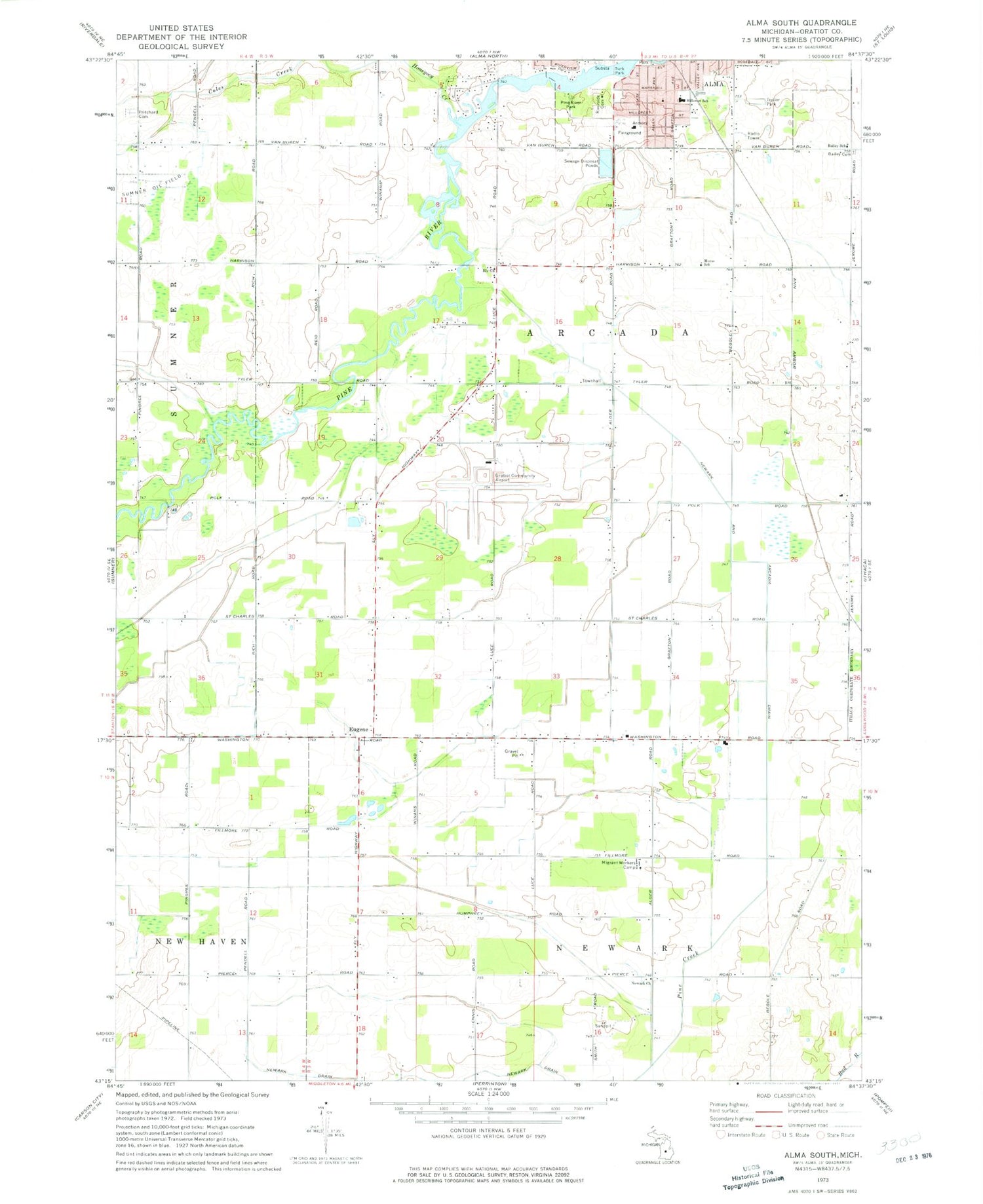
Historical USGS topographic quad map of Alma South in the state of Michigan. Map scale may vary for some years, but is generally around 1:24,000. Print size is approximately 24" x 27"
This quadrangle is in the following counties: Gratiot.
The map contains contour lines, roads, rivers, towns, and lakes. Printed on high-quality waterproof paper with UV fade-resistant inks, and shipped rolled.
Contains the following named places: Alma Church of the Nazarene, Bailey Cemetery, Bailey School, Ely Church, Eugene, Eugene Post Office, Gratiot Community Airport, Hillcrest School, Honeyoey Creek, Meadows Mobile Home Park, Morse School, Newark and Arcadia Drain, Newark Church, Pine River Park, Pritchard Cemetery, Riverside Cemetery, Riverside Park, Roosa Farm Cemetery, Sumner Oil Field, Township of Arcada, ZIP Code: 48801