
MyTopo
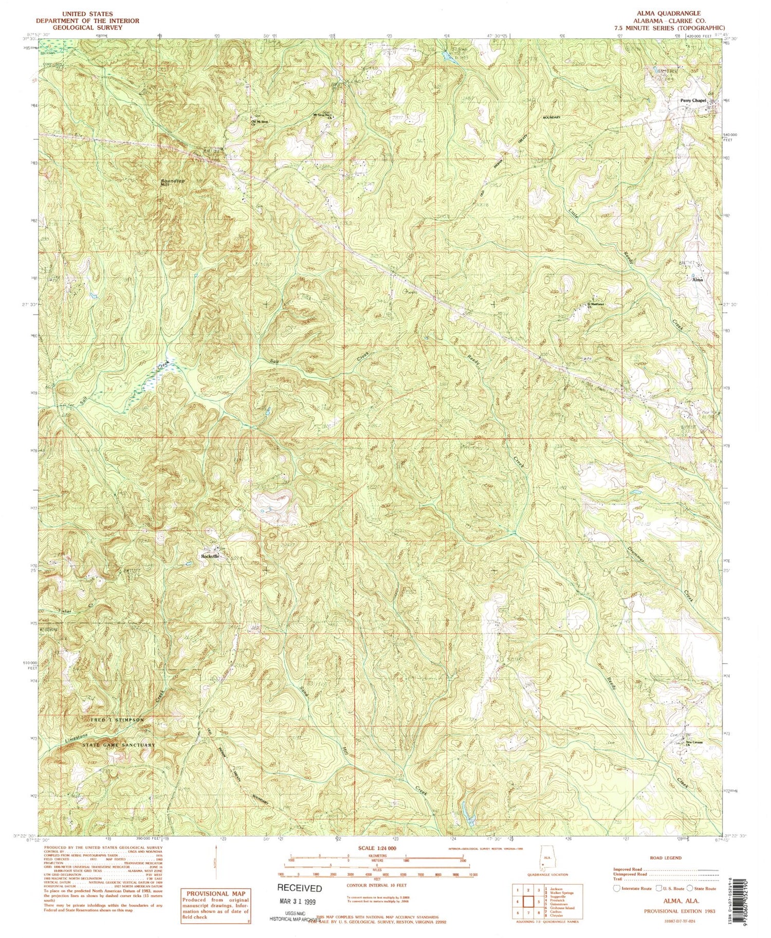
Classic USGS Alma Alabama 7.5'x7.5' Topo Map
Couldn't load pickup availability
Historical USGS topographic quad map of Alma in the state of Alabama. Map scale may vary for some years, but is generally around 1:24,000. Print size is approximately 24" x 27"
This quadrangle is in the following counties: Clarke.
The map contains contour lines, roads, rivers, towns, and lakes. Printed on high-quality waterproof paper with UV fade-resistant inks, and shipped rolled.
Contains the following named places: Alma, Choctaw Bluff, Choctaw Bluff Church, Fred T Stimpson State Game Sanctuary, Gainestown Road Landfill, Jones Chapel Methodist Protestant Church, Lilly Valley School, Mount Sinai Number 1 Church, New Canaan Church, New Saint Mathew Church, Oak Grove School, Old Mount Sinai Church, Perry Chapel, Rockville, Rockville Baptist Church, Rockville Census Designated Place, Roundtop Hill, Saint Matthews Church, Walker Springs Division, ZIP Code: 36545


