MyTopo
Classic USGS Almira Washington 7.5'x7.5' Topo Map
Regular price
$16.95
Regular price
Sale price
$16.95
Unit price
per
Couldn't load pickup availability
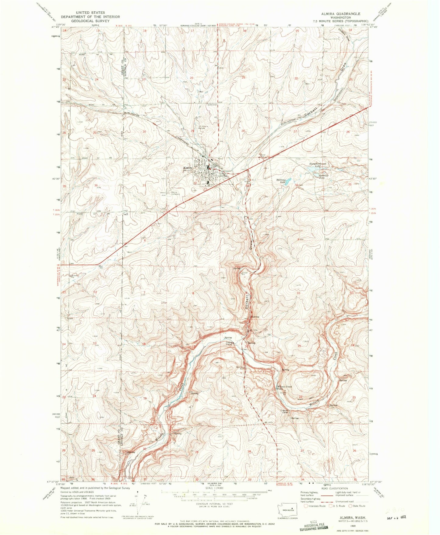
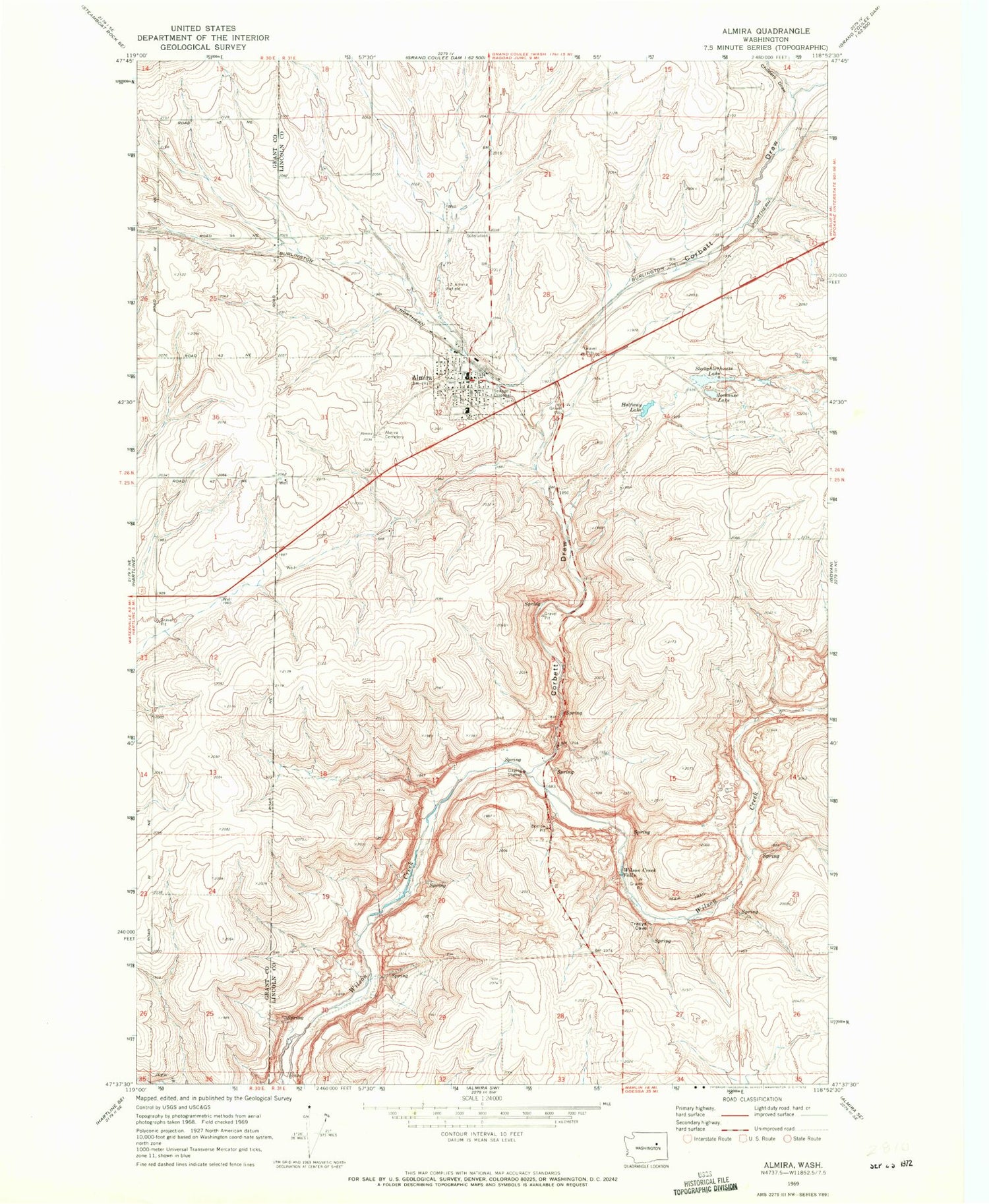
Historical USGS topographic quad map of Almira in the state of Washington. Map scale may vary for some years, but is generally around 1:24,000. Print size is approximately 24" x 27"
This quadrangle is in the following counties: Grant, Lincoln.
The map contains contour lines, roads, rivers, towns, and lakes. Printed on high-quality waterproof paper with UV fade-resistant inks, and shipped rolled.
Contains the following named places: Almira, Almira Cemetery, Almira Elementary School, Almira Post Office, Childers Draw, Corbett Draw, Halfway Lake, Icehouse Lake, J Z Almira Airfield, Lincoln County Fire District 8 Almira Volunteer Fire Department, Slaughterhouse Lake, Town of Almira, Wilson Creek Falls