MyTopo
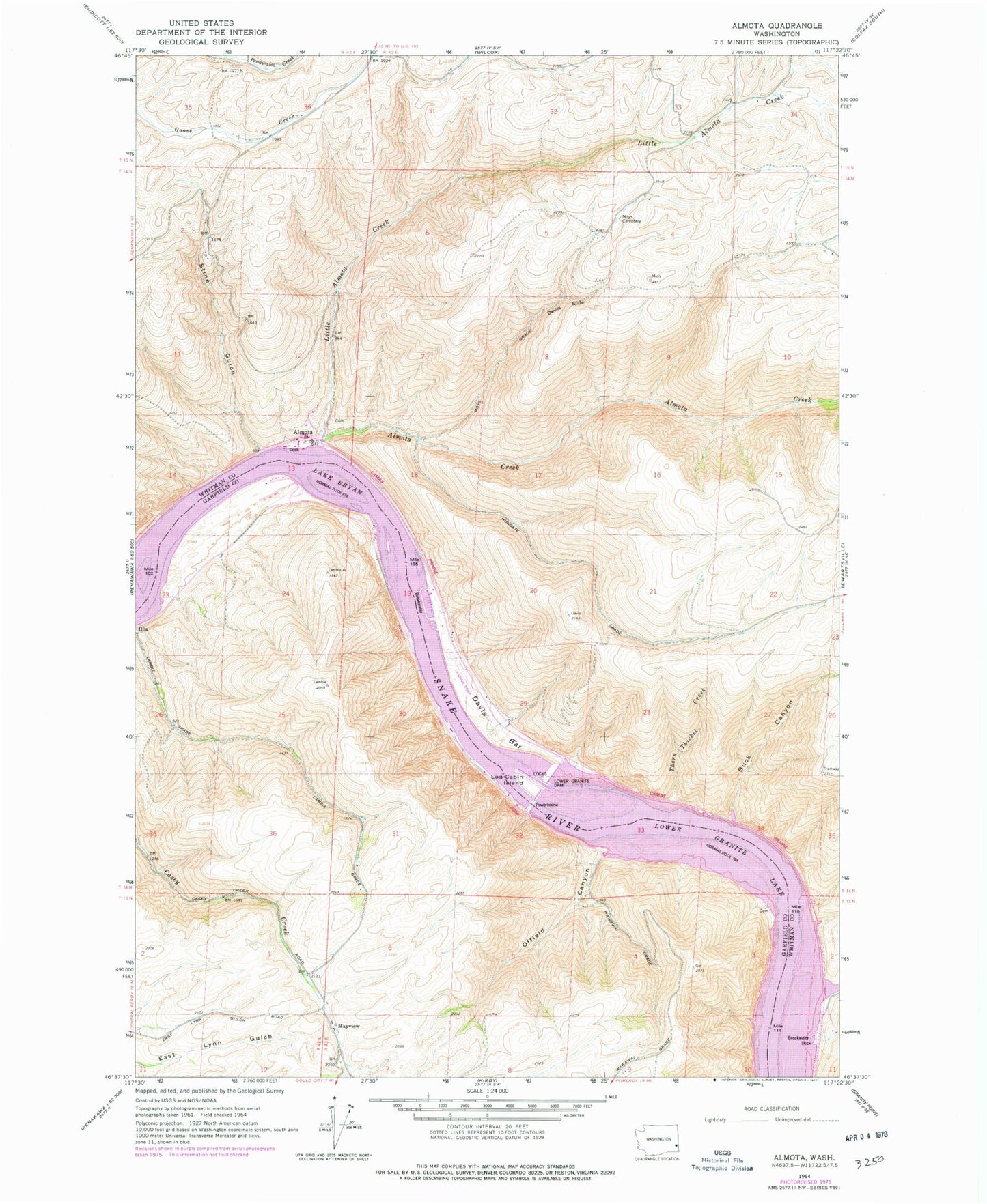
Classic USGS Almota Washington 7.5'x7.5' Topo Map
Couldn't load pickup availability
Historical USGS topographic quad map of Almota in the state of Washington. Map scale may vary for some years, but is generally around 1:24,000. Print size is approximately 24" x 27"
This quadrangle is in the following counties: Garfield, Whitman.
The map contains contour lines, roads, rivers, towns, and lakes. Printed on high-quality waterproof paper with UV fade-resistant inks, and shipped rolled.
Contains the following named places: Almota, Almota Creek, Boyer Marina, Buck Canyon, Davis Bar, Devils Slide, Hungate Grade, Illia Landing, Interior, Little Almota Creek, Log Cabin Island, Lower Granite Dam Heliport, Lower Granite Lake, Lower Granite Lake Dam, Lower Granite State Airport, MacMurry Canyon, Mayview, Moys Cemetery, Moys Grade, Offield Canyon, Offield Landing, Operation Fish Run, Port Almota, Spalding Cemetery, Stine Gulch, Thorn Thicket Creek, Wawawai, Wawawai Bay, Wawawai Landing, Whitman Community Hospital Heliport