MyTopo
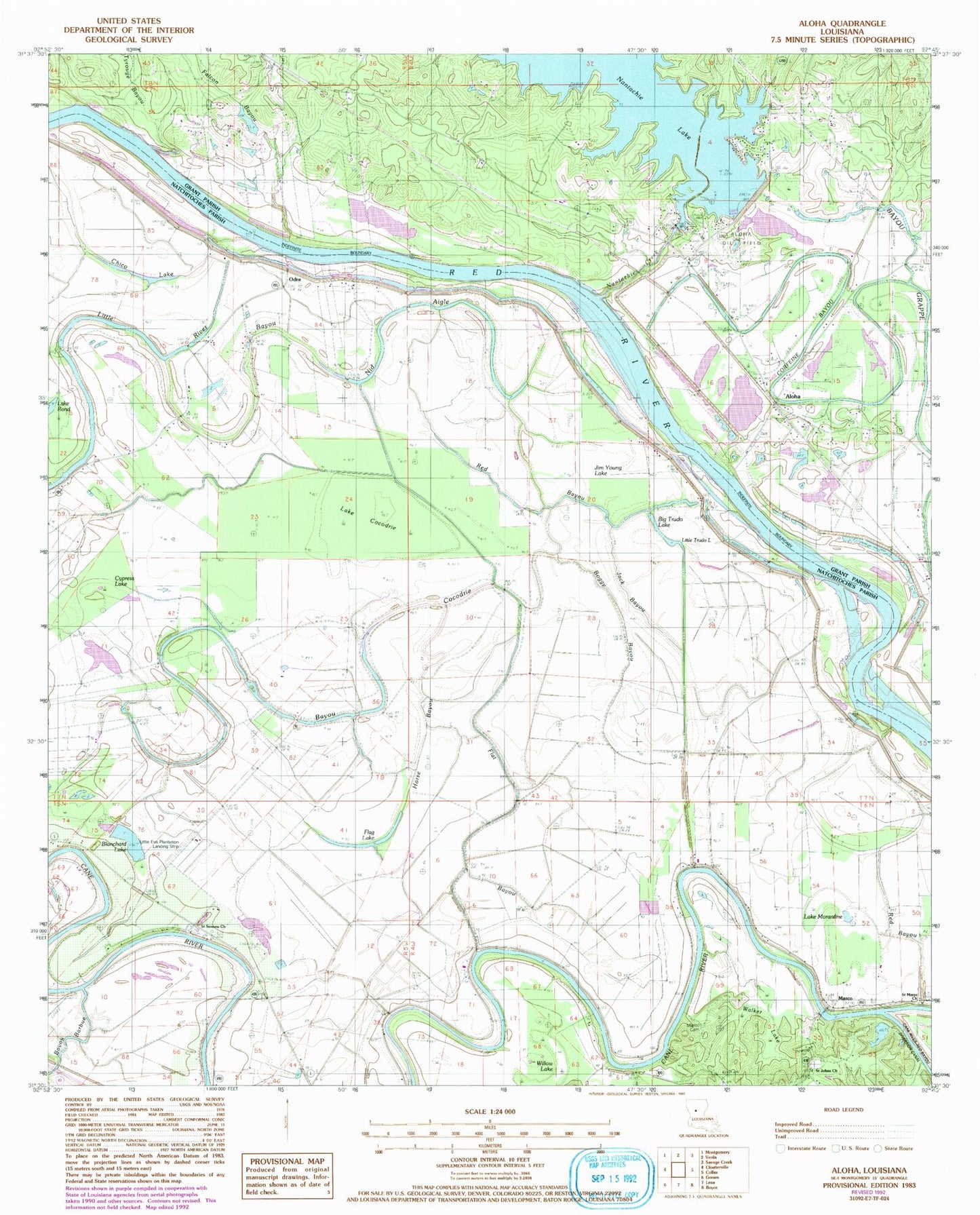
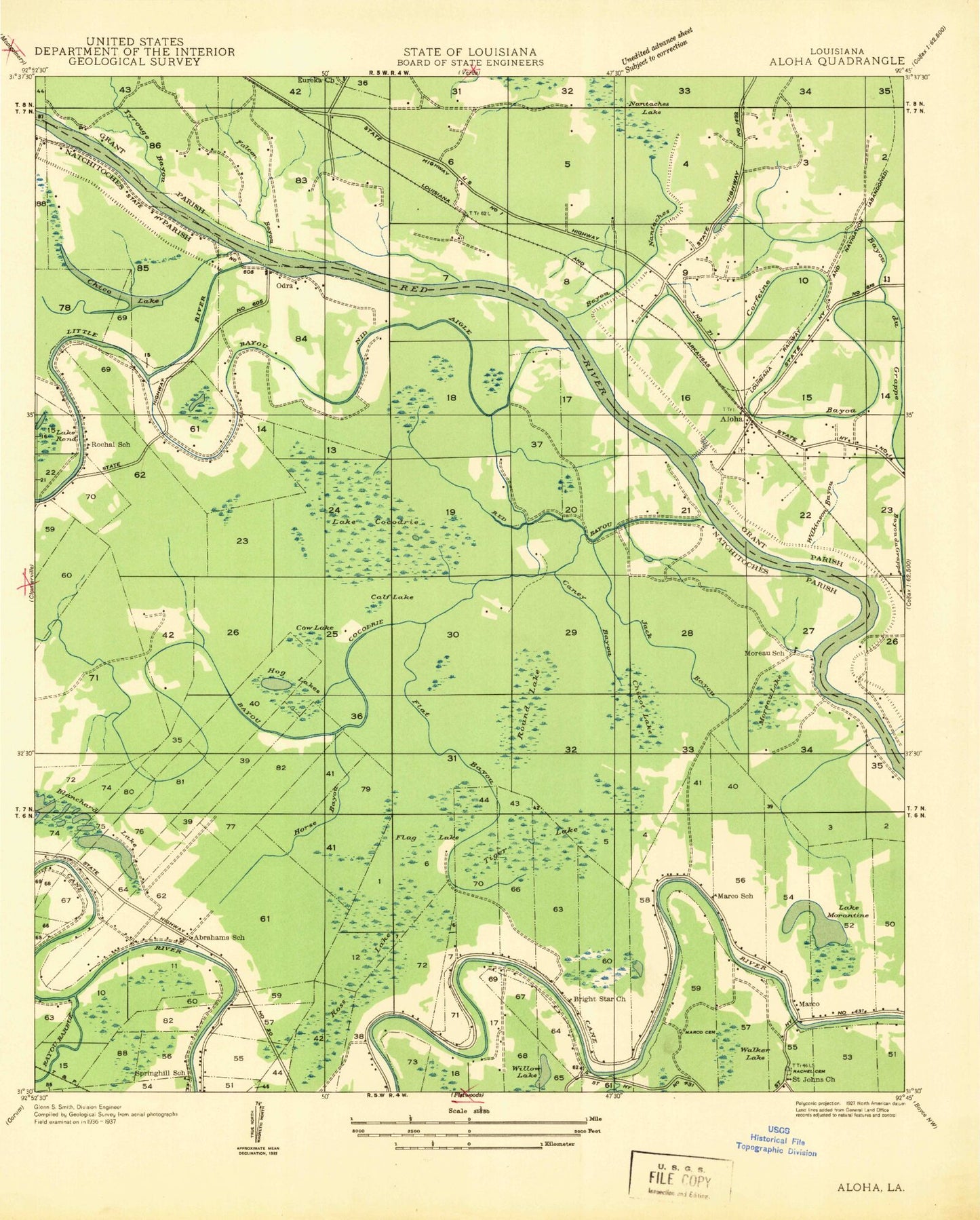
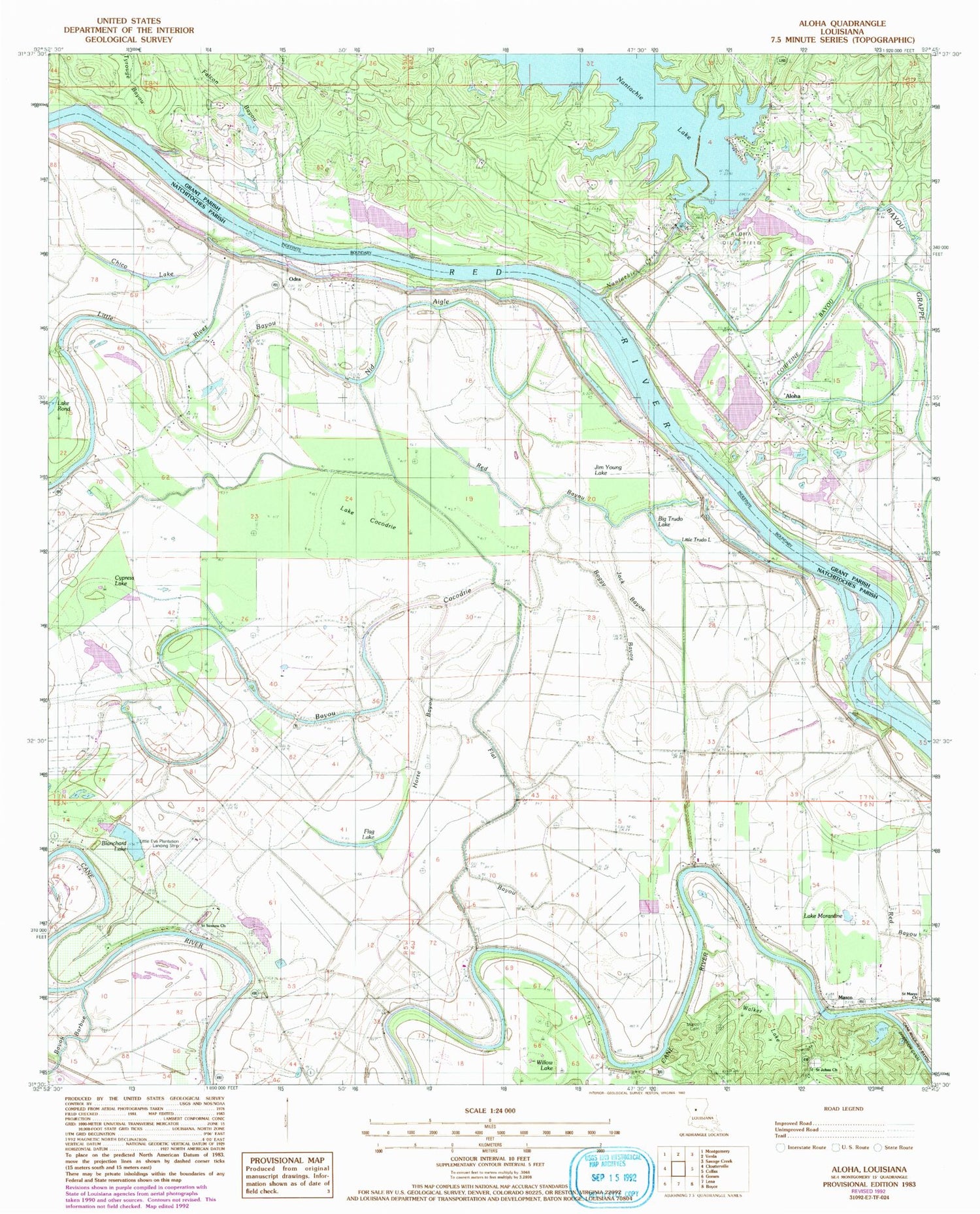
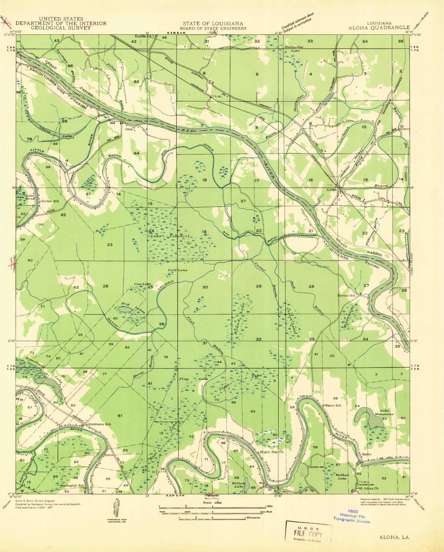
Classic USGS Aloha Louisiana 7.5'x7.5' Topo Map
Couldn't load pickup availability
Historical USGS topographic quad map of Aloha in the state of Louisiana. Map scale may vary for some years, but is generally around 1:24,000. Print size is approximately 24" x 27"
This quadrangle is in the following counties: Grant, Natchitoches.
The map contains contour lines, roads, rivers, towns, and lakes. Printed on high-quality waterproof paper with UV fade-resistant inks, and shipped rolled.
Contains the following named places: Aloha, Aloha Census Designated Place, Aloha Oil Field, Ash Brake Bottom, Bayou Barbue, Bayou Cocodrie, Bayou Grappe, Bayou Nid Aigle, Big Trudo Lake, Billis, Blanchard Lake, Boggy Bayou, Bright Star Church, Calf Lake, Chico Lake, Chicot Lake, Corfeine Bayou, Cow Lake, Cypress Lake, Eureka Church, Falcon Bayou, Flag Lake, Flat Bayou, Hog Lake, Horse Bayou, Jack Bayou, Jim Young Lake, Lake Cocodrie, Lake Morantine, Lake Morgantine, Lake Rond, Little Eva Plantation Landing Strip, Little River, Little Trudo Lake, Louisiana Noname 83 Dam, Marce Cemetery, Marco, Marco Canal, Marco School, Moreau Lake, Moreau School, Nantachie Creek, Nantachie Lake, Nantachie Lake Dam, Odra, Red Bayou, Rochal School, Ross Lake, Round Lake, Saint Johns Church, Saint Johns School, Saint Marys Church, Saint Simons Church, Salt School, Shady Grove School, Spring Hill School, Tiger Lake, Tyrouge Bayou, Waddel, Waddel Bluff, Walker Lake


