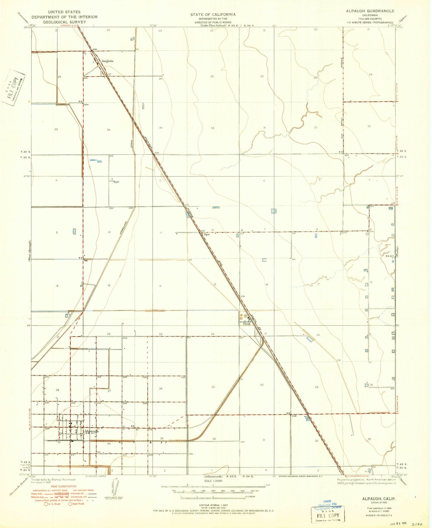
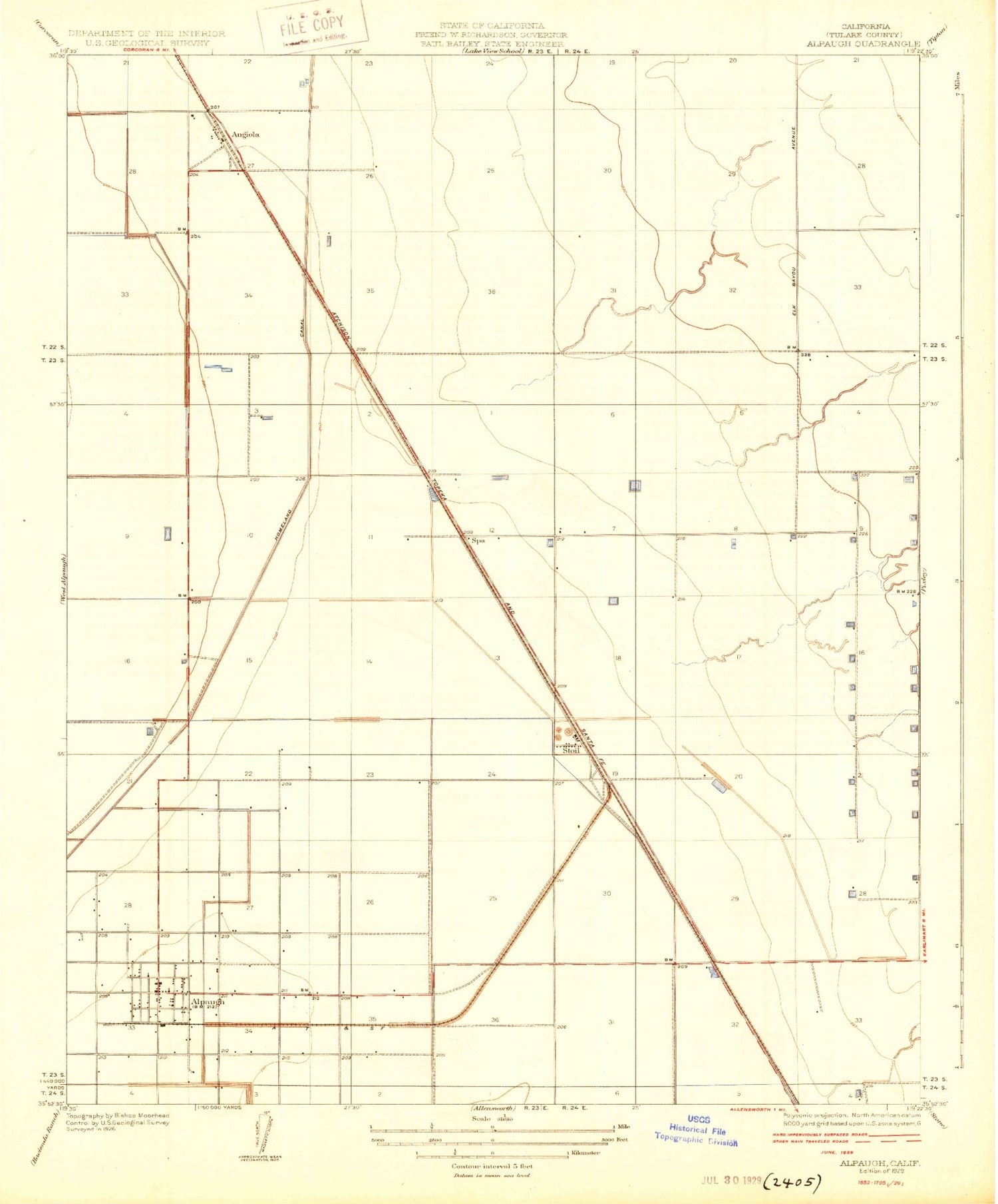
MyTopo
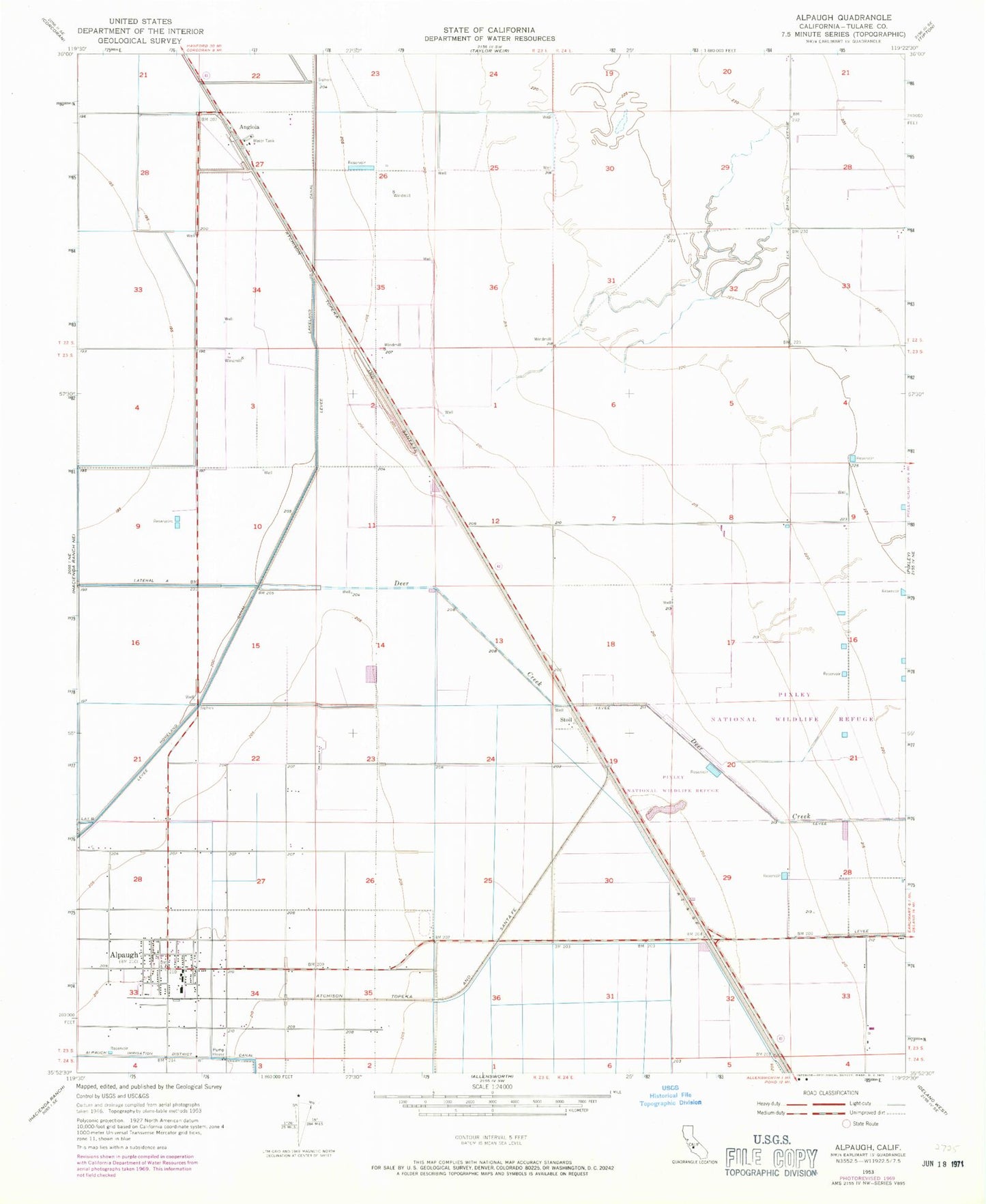
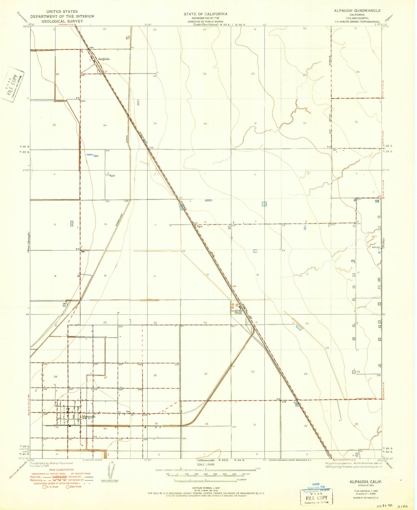
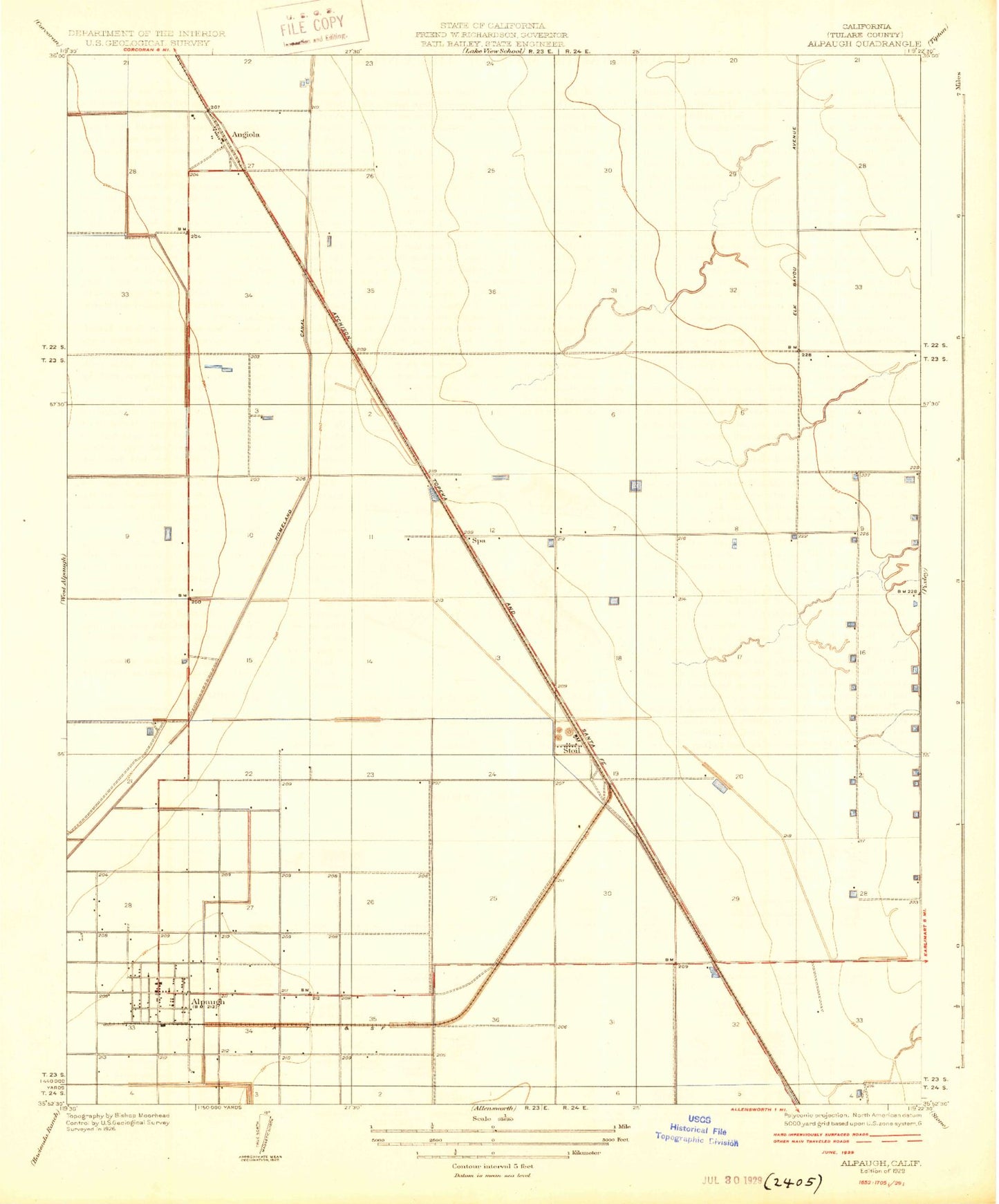
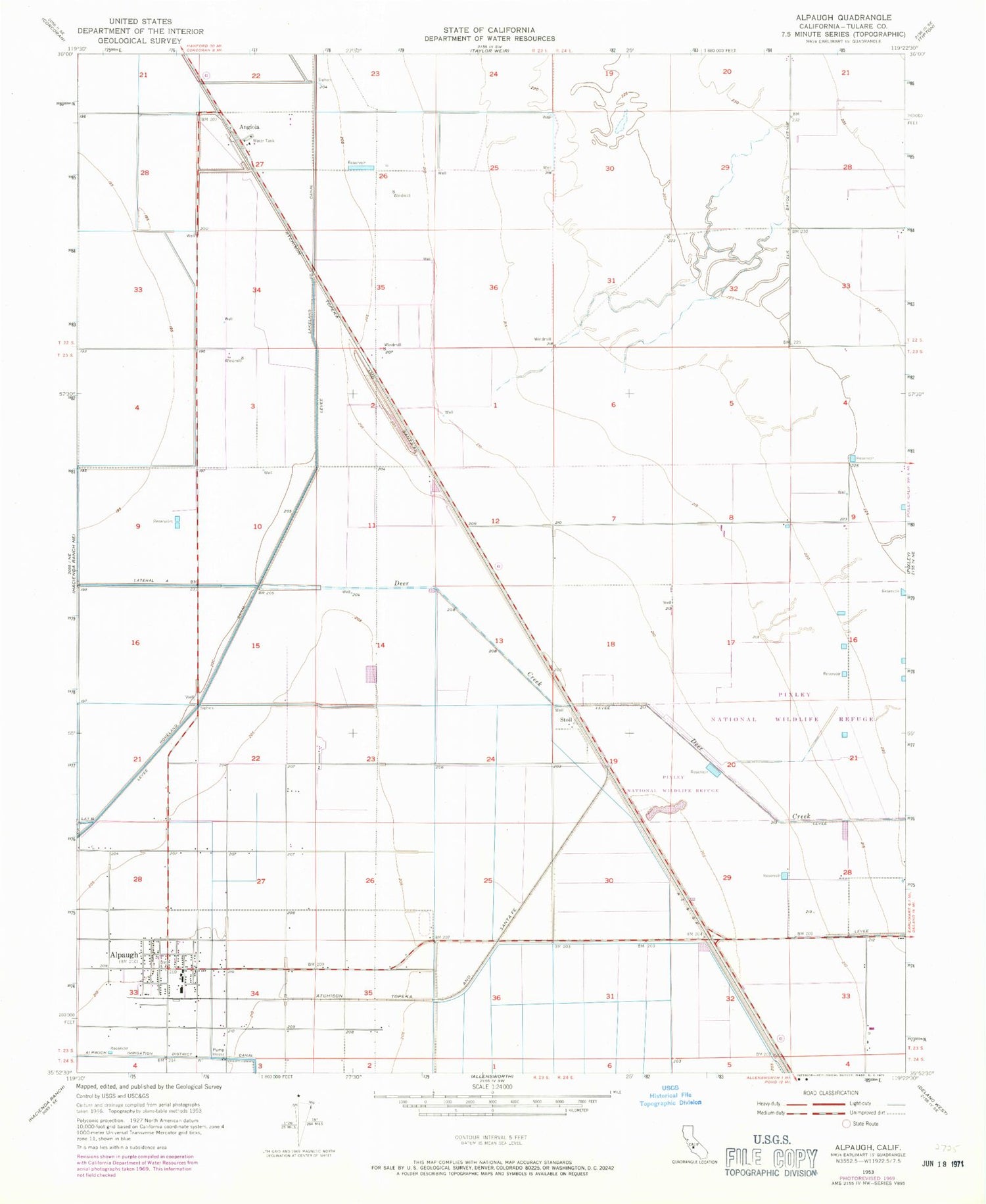
Classic USGS Alpaugh California 7.5'x7.5' Topo Map
Couldn't load pickup availability
Historical USGS topographic quad map of Alpaugh in the state of California. Map scale may vary for some years, but is generally around 1:24,000. Print size is approximately 24" x 27"
This quadrangle is in the following counties: Tulare.
The map contains contour lines, roads, rivers, towns, and lakes. Printed on high-quality waterproof paper with UV fade-resistant inks, and shipped rolled.
Contains the following named places: Alpaugh, Alpaugh Census Designated Place, Alpaugh Elementary School, Alpaugh Junior-Senior High School, Alpaugh Post Office, Angiola, Deer Creek, Deer Creek Dairy, Homeland Canal, J C Phillips Ranch, Phillips Ranch Post Office, Pixley National Wildlife Refuge, Sierra Valley Dairy, Sousa Farms Dairy, Spa, Star Ranch, Stoil, Tulare County Fire Department Battalion 2 Alpaugh Fire Station 9, Tule High School