MyTopo
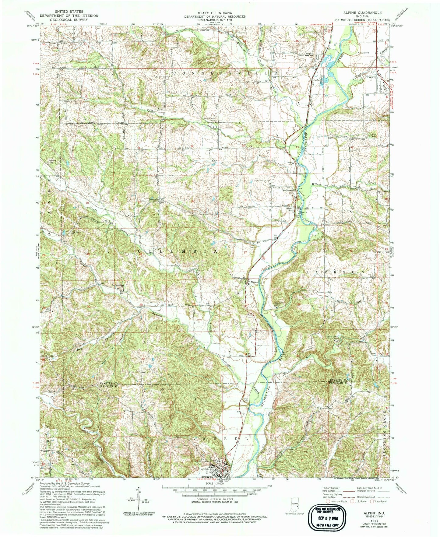
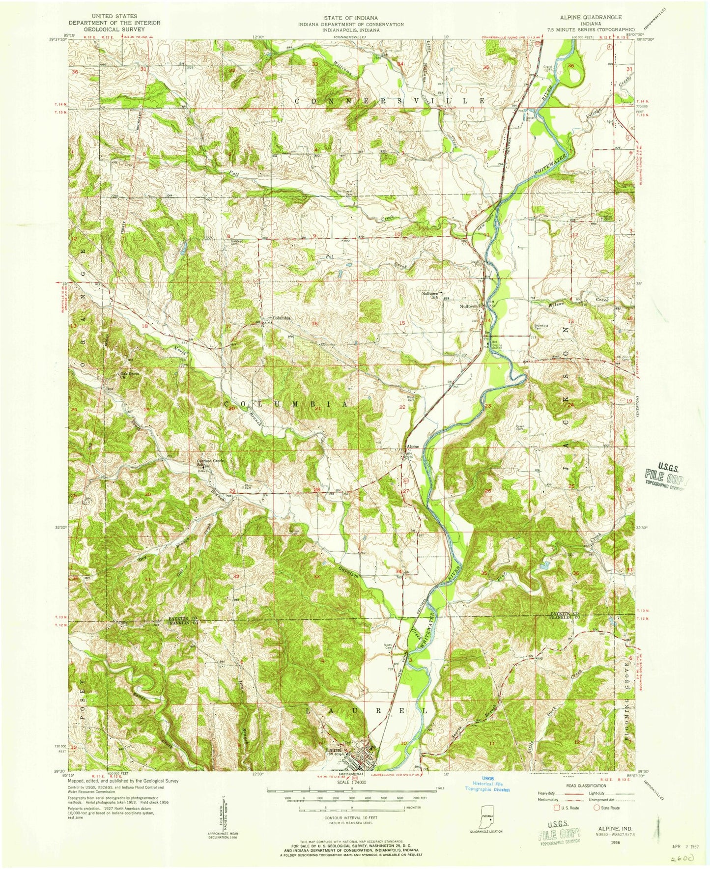
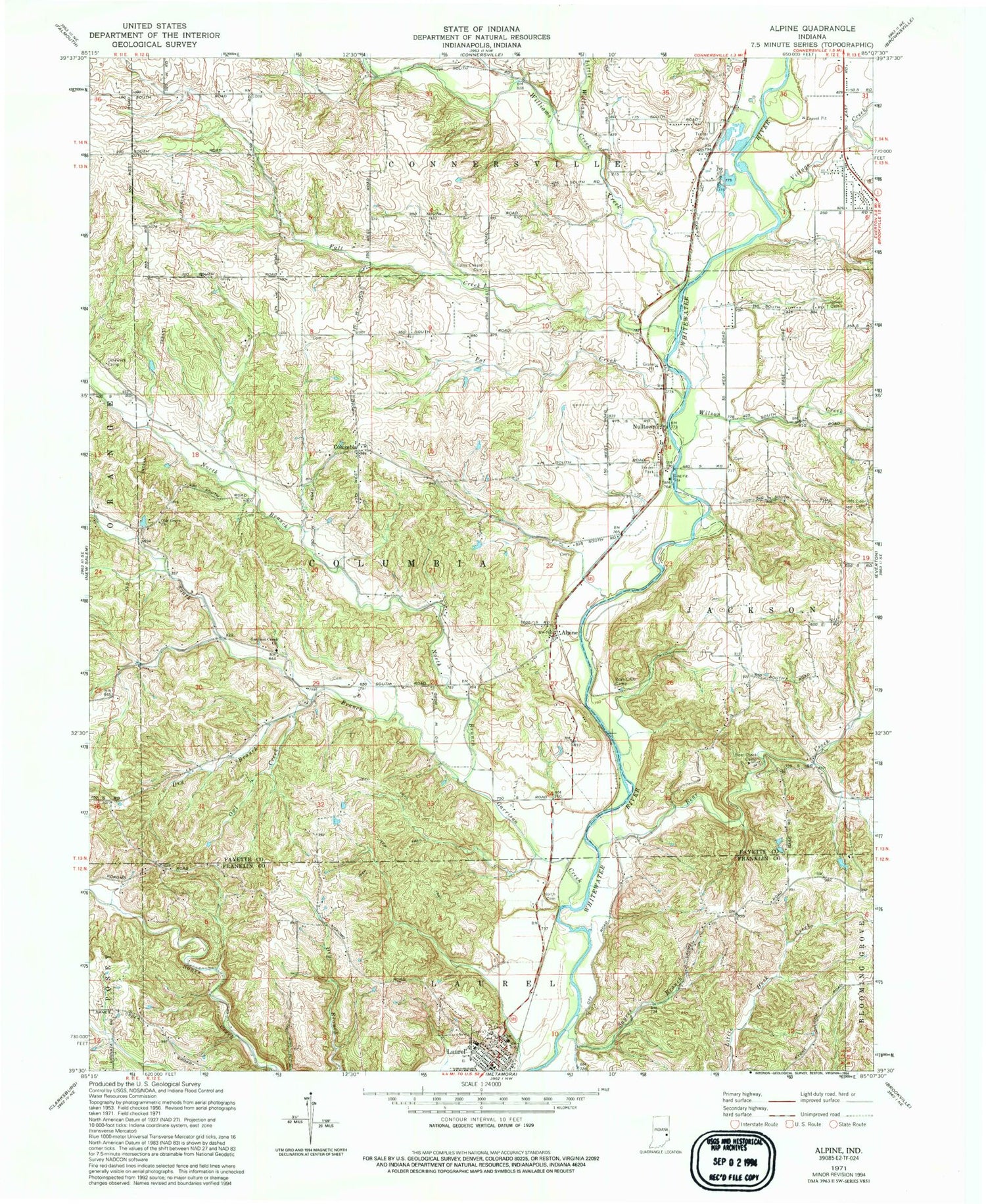
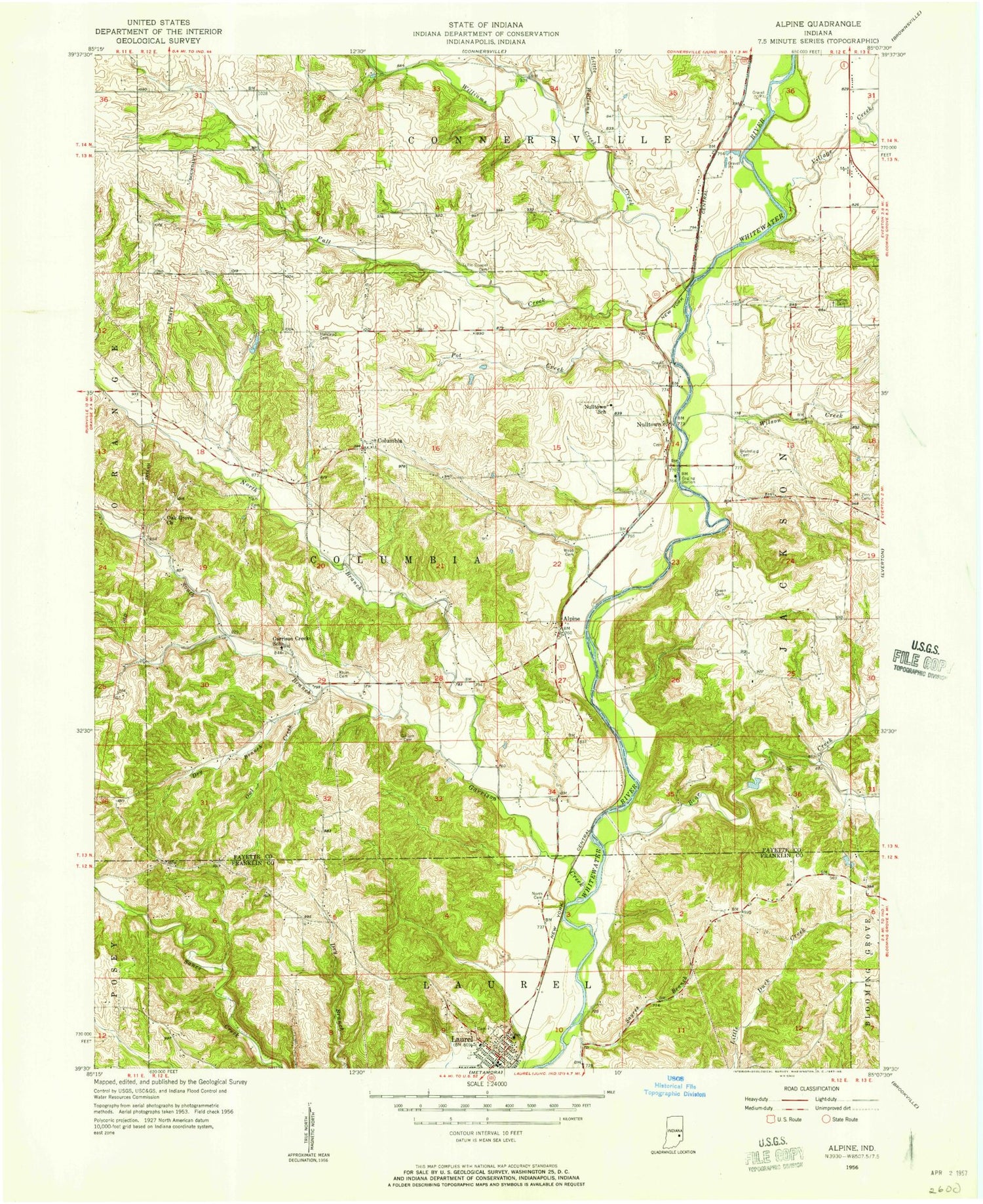
Classic USGS Alpine Indiana 7.5'x7.5' Topo Map
Couldn't load pickup availability
Historical USGS topographic quad map of Alpine in the state of Indiana. Typical map scale is 1:24,000, but may vary for certain years, if available. Print size: 24" x 27"
This quadrangle is in the following counties: Fayette, Franklin.
The map contains contour lines, roads, rivers, towns, and lakes. Printed on high-quality waterproof paper with UV fade-resistant inks, and shipped rolled.
Contains the following named places: Alpine, Bear Creek, Bear Creek Camp, Boys Club Camp, Columbia, Delaware Camp, Dry Branch, Fall Creek, Garrison Creek Church, Laurel, Little Williams Creek, Mount Zion Cemetery, North Branch Garrison Creek, Laurel North Cemetery, Nulltown, Oak Grove Church, Owl Creek, Sayres Branch, South Branch Garrison Creek, Tullis Chapel Cemetery, Union Cemetery, Village Creek, Williams Creek, Wilson Creek, Laurel Elementary and High School, Champion Acre Lake Dam, Champion Acre Lake, Garrison Creek, Mount Auburn, Township of Columbia, Town of Laurel, Greater Vision Church, Pot Creek, Laurel City Fire Department, Booher Stone Quarry, Connersville Pit, Ogle Stone Quarry, Park Road Gravel Pit, Klum Cemetery, Aldridge Cemetery, Smith Cemetery, Columbia Cemetery, Conner Cemetery, Halstead Cemetery, Nulltown Cemetery, Stevens Cemetery, Wadams Cemetery, Webb Cemetery, Murray Cemetery, Brownlee Cemetery, Fayette County Highway Department, Green Cemetery, Myers Cemetery, Columbia Methodist Church, Franklin County Emergency Medical Services Station 3, Laurel Police Department, Laurel Post Office


