MyTopo
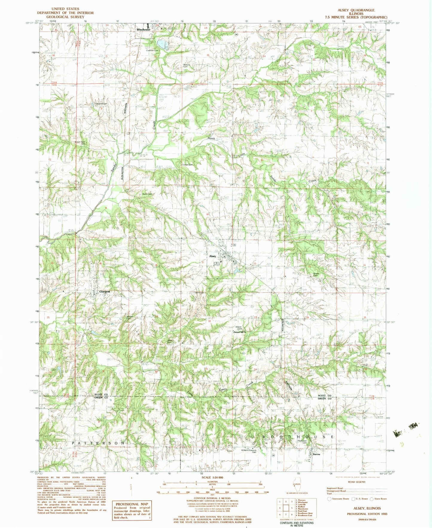
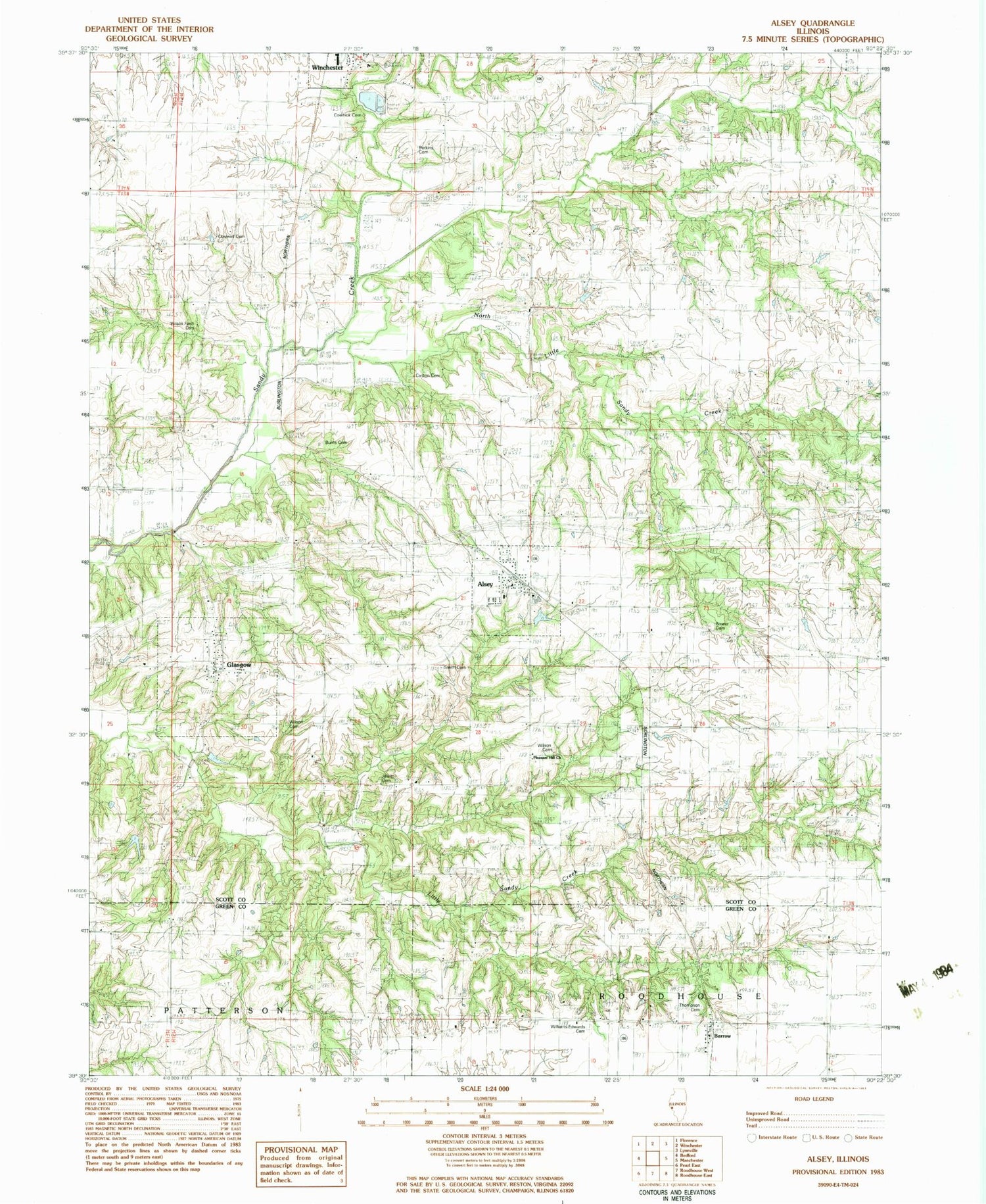
Classic USGS Alsey Illinois 7.5'x7.5' Topo Map
Couldn't load pickup availability
Historical USGS topographic quad map of Alsey in the state of Illinois. Map scale may vary for some years, but is generally around 1:24,000. Print size is approximately 24" x 27"
This quadrangle is in the following counties: Greene, Scott.
The map contains contour lines, roads, rivers, towns, and lakes. Printed on high-quality waterproof paper with UV fade-resistant inks, and shipped rolled.
Contains the following named places: Adams Cemetery, Alsey, Alsey Election Precinct, Alsey Lake, Alsey Lake Dam, Alsey Post Office, Barrow, Bowers Cemetery, Burns Cemetery, Carlton Cemetery, Carlton School, Claywell Cemetery, Claywell School, Cowhick Cemetery, Fairview School, Glasgow, Glasgow Cemetery, Jewitt Cemetery, Kellar School, Little Sandy Creek, Lovelace School, Miller Cemetery, New School, North Little Sandy Creek, Peak Cemetery, Perkins Cemetery, Pleasant Hill Church, Pleasant Hill School, Smith Cemetery, South College School, Thompson Cemetery, Village of Alsey, Village of Glasgow, Williams Edwards Cemetery, Williams-Edwards Cemetery, Wilson Cemetery, Wilson Farm Cemetery, Winchester Number 3 Election Precinct, Wishon Cemetery, ZIP Codes: 62610, 62694