MyTopo
Classic USGS Alsop Lake Wyoming 7.5'x7.5' Topo Map
Couldn't load pickup availability
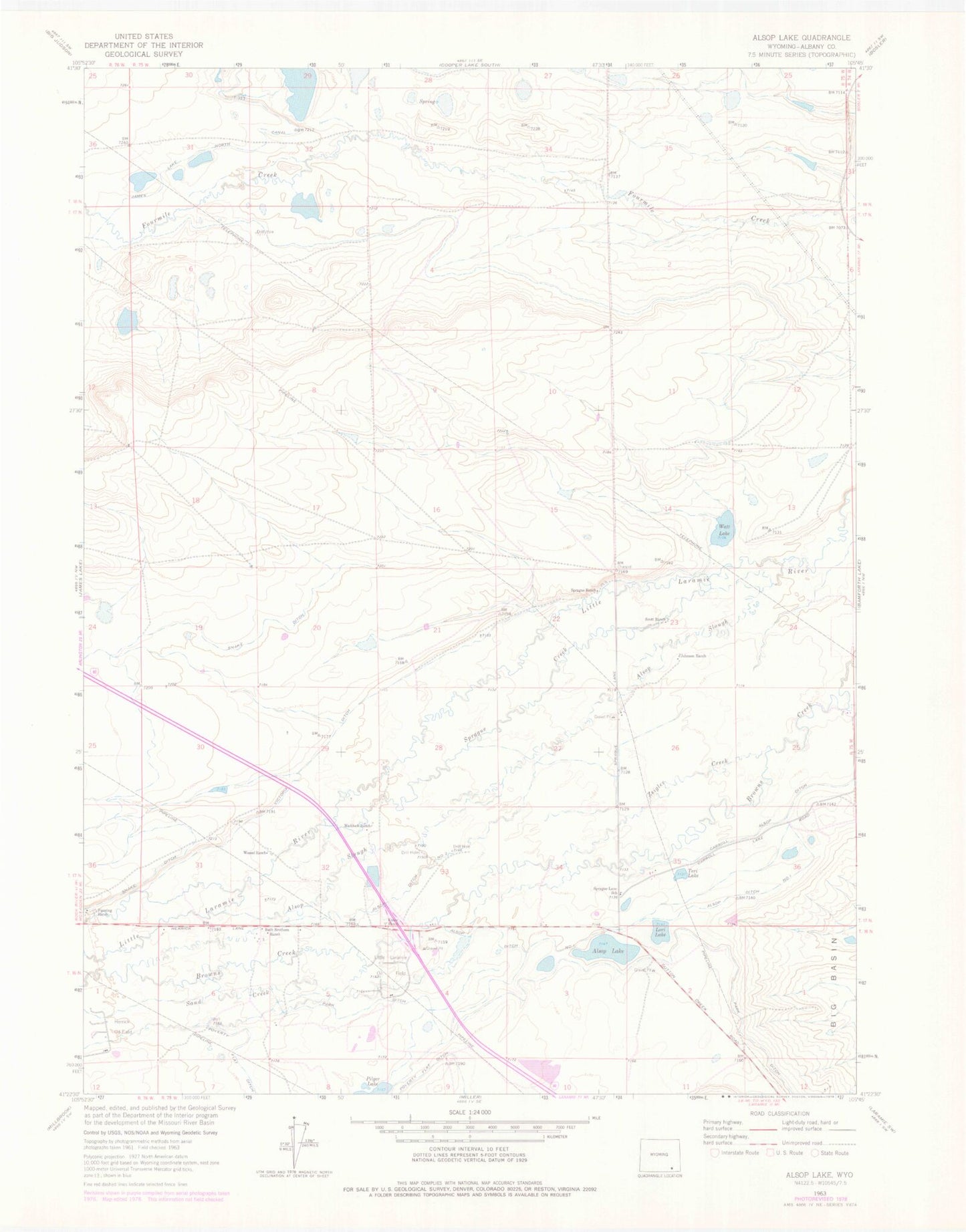
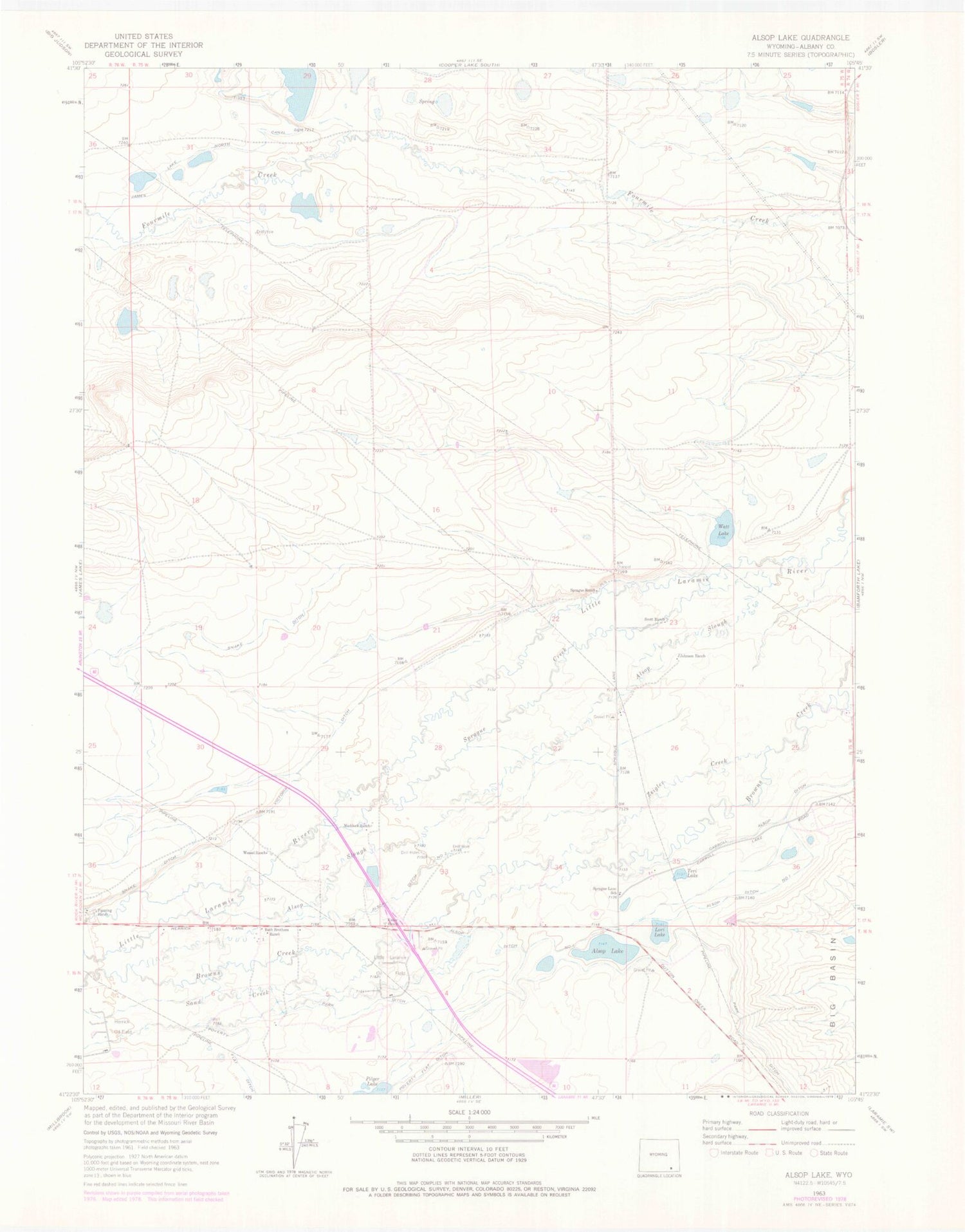
Historical USGS topographic quad map of Alsop Lake in the state of Wyoming. Map scale may vary for some years, but is generally around 1:24,000. Print size is approximately 24" x 27"
This quadrangle is in the following counties: Albany.
The map contains contour lines, roads, rivers, towns, and lakes. Printed on high-quality waterproof paper with UV fade-resistant inks, and shipped rolled.
Contains the following named places: Alsop Ditch Number 1, Alsop Ditch Number 2, Alsop Lake, Alsop Slough, Bath Brothers Ranch, Carroll Alsop Ditch, Fanning Ranch, Herrick Oil Field, James Lake North Canal, Johnson Ranch, Kisler Ranch, Little Laramie Oil Field, Lori Lake, Maddock Ranch, Park Ditch, Sand Creek, Scott Ranch, Snake Ditch, Sprague Creek, Sprague Lane School, Sprague Ranch, Teri Lake, Victoria Ditch, Watt Lake, Wessel Ranch, Zeigler Creek