MyTopo
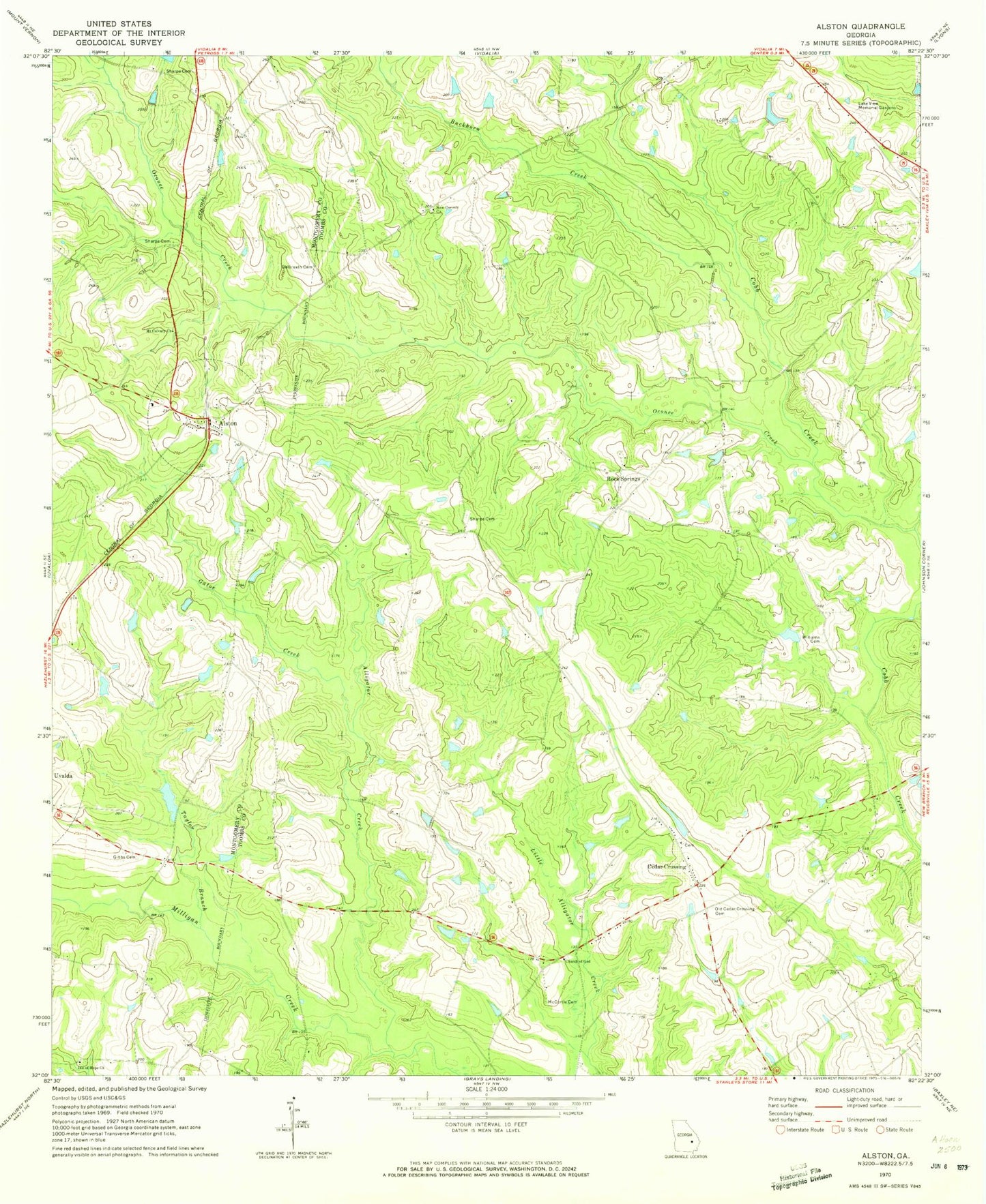
Classic USGS Alston Georgia 7.5'x7.5' Topo Map
Couldn't load pickup availability
Historical USGS topographic quad map of Alston in the state of Georgia. Map scale may vary for some years, but is generally around 1:24,000. Print size is approximately 24" x 27"
This quadrangle is in the following counties: Montgomery, Toombs.
The map contains contour lines, roads, rivers, towns, and lakes. Printed on high-quality waterproof paper with UV fade-resistant inks, and shipped rolled.
Contains the following named places: Alligator Creek, Alston, Alston Post Office, Alston Volunteer Fire Department, Buckhorn Creek, Cedar Crossing, Cedar Crossing Church, Cedar Crossing Volunteer Fire Department, Church of God, Clarks Mill Pond Dam, Dry Branch, Galbreath Cemetery, Gator Creek, Gibbs Cemetery, Isle of Hope Church, Lake View Memorial Gardens, Lower Cato Lake, Lower Cato Lake Dam, McCortle Cemetery, Meadows Regional Emergency Medical Services, Mount Calvary Church, New Corinth Church, Oconee Bridge, Oconee Creek, Odom Bridge, Old Cedar Crossing Cemetery, Rock Springs, Rock Springs Church, Sharpe Cemetery, Town of Alston, Upper Cato Lake, Upper Cato Lake Dam, Williams Cemetery, WLYU-FM (Lyons), ZIP Codes: 30412, 30473